Flight Paths

[map style=”width: auto; height:400px; margin:20px 0px 20px 0px; border: 1px solid black;” maptype=”ROADMAP” gpx=”http://www.mineral2.com/wp-content/uploads/Flights.GPX”]

If you don’t already know me, I have a thing for maps and geography. It’s an absolute delight to see the landscape from the air. I’ve been bringing my GPS with me when I fly, mostly to keep track of flight progress and to identify what I’m seeing out the window. But it’s also interesting to see how the FAA routes flights. Spoiler Alert: it’s not a direct path between cities.

The two tracks above show the flight path between Phoenix and Cancun in both directions. The straight line between the two airports would cross into Mexico from New Mexico and remain over Mexican airspace except for a few points at the lower spurs of Texas. In fact, I was sure that this is what we were doing, but hadn’t paid close attention to the borders on the map. Of course, later it hit me that we were being routed to stay in American airspace as long as possible, which seemed odd for a flight headed to Mexico in the first place.

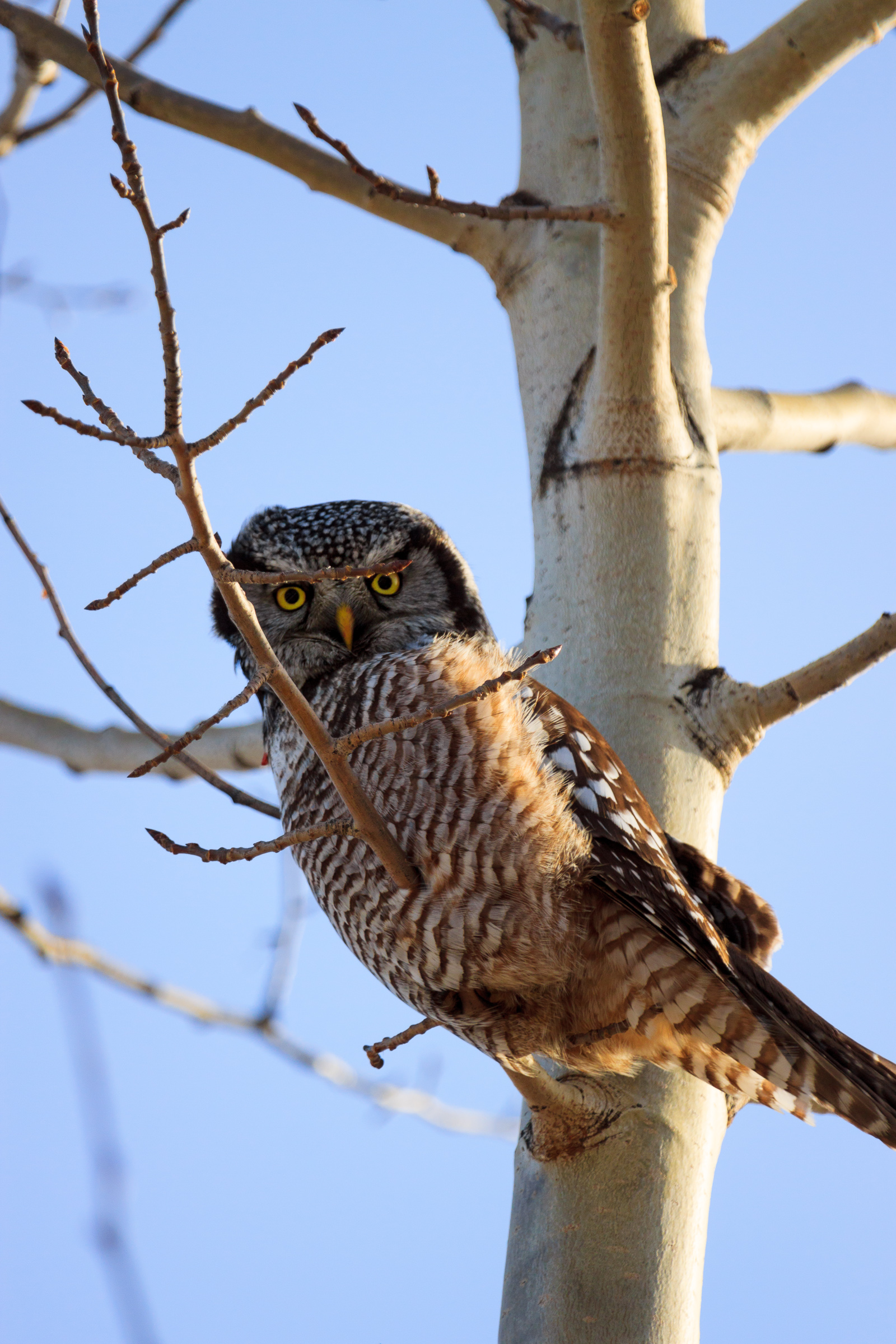
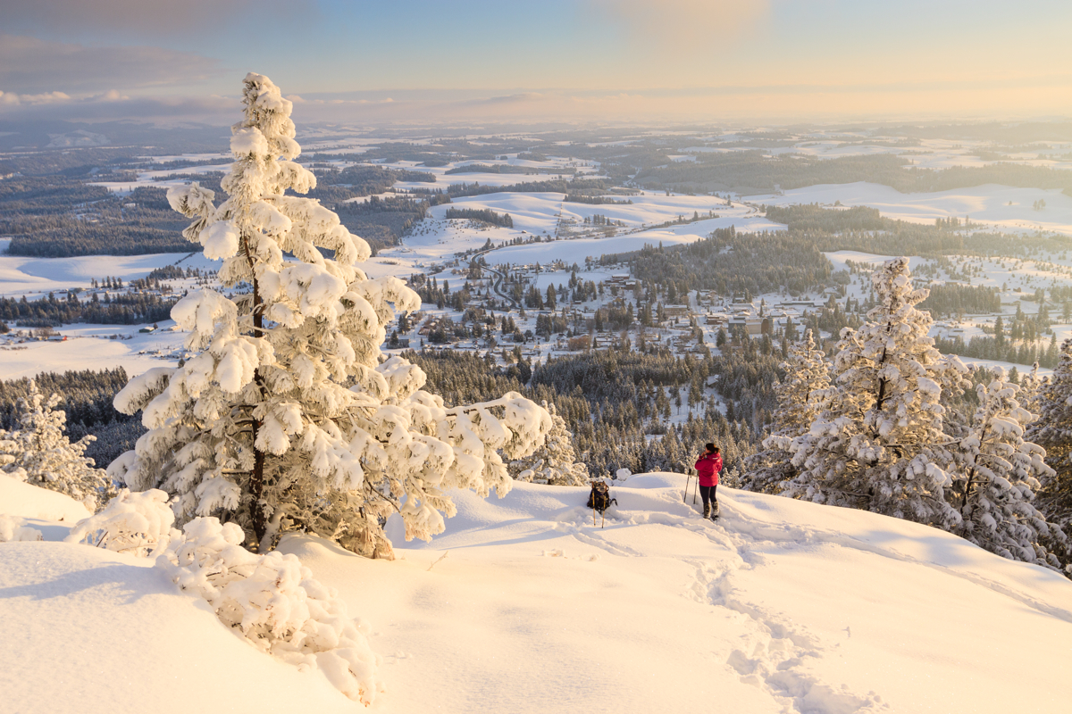
I wasn’t able to get tracks of the flights between Spokane and Phoenix. Apparently, the Airbus A319 is better at blocking GPS signal than a Boeing 757. But for the most part, I can identify landmark features by sight along that route. Overall, the flights were nice. We flew over Hells Canyon and I saw the expansive Frank Church wilderness (on the way down) and the Wallowa Mountains (on the way up). The Wallowas still have way more snow on them than their eastern neighbors. We flew past the Ruby Mountains in northern Nevada, the same mountains I was amazed to see from the ground when we drove down there two years ago. We flew past Cedar Breaks and Zion National Park, and we flew over the Grand Canyon, the first time I had actually been able to see it from the air. On the flight home, we flew right over Lewiston and Pullman before landing in Spokane. had I been on the other side of the aircraft, I would have been able to see my house from above.

On the flights between Phoenix and Cancun, I saw White Sands, the Guadalupe Mountains, and then the flat lands of Texas. Over the Gulf, I noticed spots of brown, probably oil stains from all of the drilling. Once we hit the Yucatan, I noticed a decidedly different terrain. Everything was green and fairly unbroken. It’s mostly undisturbed jungle with a few roads and dwellings. But for the most part, a sea of green. Quite a contrast to the American west, which is brown and arid, but also carved up with roads and farm fields. Of course, the geology of the Yucatan likely makes it a poor place for large scale farming, and the jungle is now largely protected for its ecological value.

I find it fascinating to look at the world from above. It provides a sense of scale and context to the places that we use and enjoy, and really cements how connected everything really is.

Similar Posts

  • It’s going to be a busy semester

    Somehow,  I had arranged the semester to be fairly light allowing me to work on my research. I was only signed up for one class, the work of which parallelled the work I have to do for my degree, namely write up a dissertation project proposal. On top of that, I was slated to teach one lab section, so overall my class and teaching load would be light. Funny how things actually work out. I am taking 3 classes, though one not for credit, and teaching two sections of lab. 314 lab isn’t really that bad, it’s all computer-based, but…

  • |

    August Update

    I just realized that August has come and gone and I have yet to write about anything that happened during this month. It’s not as though I haven’t done anything. In fact, I was quite busy every weekend. So, let’s see, what happened in August? It got really hot. In fact, it got so hot, that doing things became unpleasant. Nevertheless, we took Clara out to Elk River to beat the heat. At first, she didn’t like sitting in the cool water, but by the end, I got her to tolerate it. We also took Clara up to Kamiak Butte….

  • Kittens

    I can hidez., originally uploaded by Matthew Singer. We’ve been in and out of the Altoona area to pack up belongings in preparation for the big move later this summer. We usually stay with Erin’s grandfather who lives on a farm off of Rt. 22 near Williamsburg. He has some “stray” cats that he feeds, but won’t get spayed or neutered, so every so often we find a litter of kittens. Two weeks ago, we were visiting and the kittens were out playing. I couldn’t resist a photo shoot. As cute as they are, we are not keeping any of…

  • First Snow

    First Snow, originally uploaded by Matthew Singer. On Friday, I woke up to find a light layer of white on everything. At first, I thought it was a heavy frost, but when I put my glasses on, the truth was revealed. We had our first snowfall. It wasn’t much, less than an inch, and by late afternoon, all was gone. It wasn’t the first snow of the season either, but it was the first to stick on the ground, especially at our elevation. But Sunday night, it began to snow some more, and the accumulation was greater. It still wasn’t…

  • Fall Foliage

    I’ve been spending a lot of time finishing up my dissertation proposal, which is due in a little over a week, and that has kept me from taking time to enjoy the outdoors. We got some considerable rain over the past weekend which lead to some dramatic skies and really clear views on Monday and Tuesday, but I just wasn’t able to take advantage of the nice conditions. I did get out for a little bit yesterday afternoon to check out the fall foliage in the arboretum on campus. In Idaho, we don’t see very much fall color. There are…

  • Illinois

    On Mount Moosilauke Originally uploaded by mineral2. I’m in Illinois now and will be here for a good majority of the year. While I’m living 40 miles in the Chicago suburbs, I’ve already taken a trip to the Mississippi River to see the Bald Eagles and am planning a weekend to Nebraska to watch the mass of Sandhill Cranes as they stopover on their migration north. As the spring approaches, I hope to go south to some terrain that is reminiscent of Alabma. I also plan to go northward to view the waterfowl and the flowers of the North Woods….