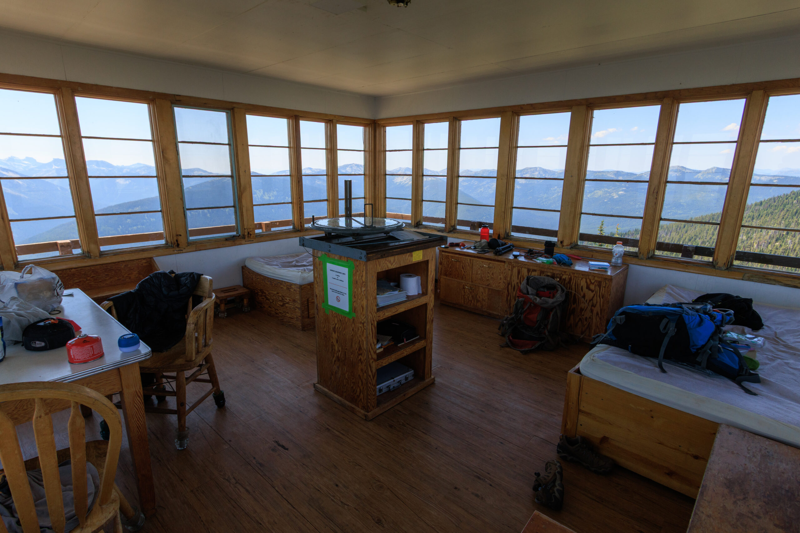
Backpacking … for real
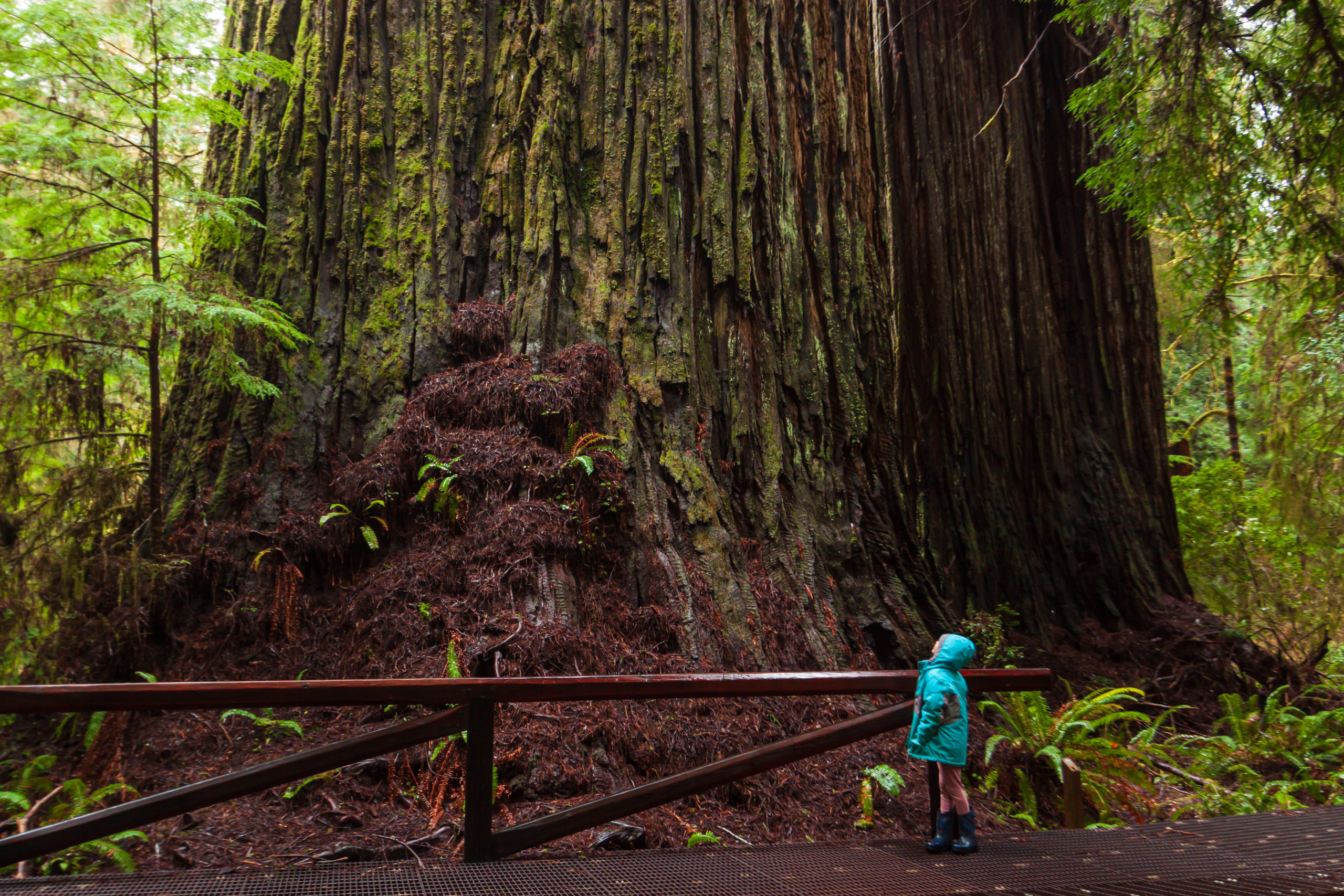
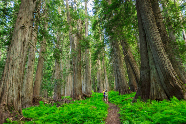
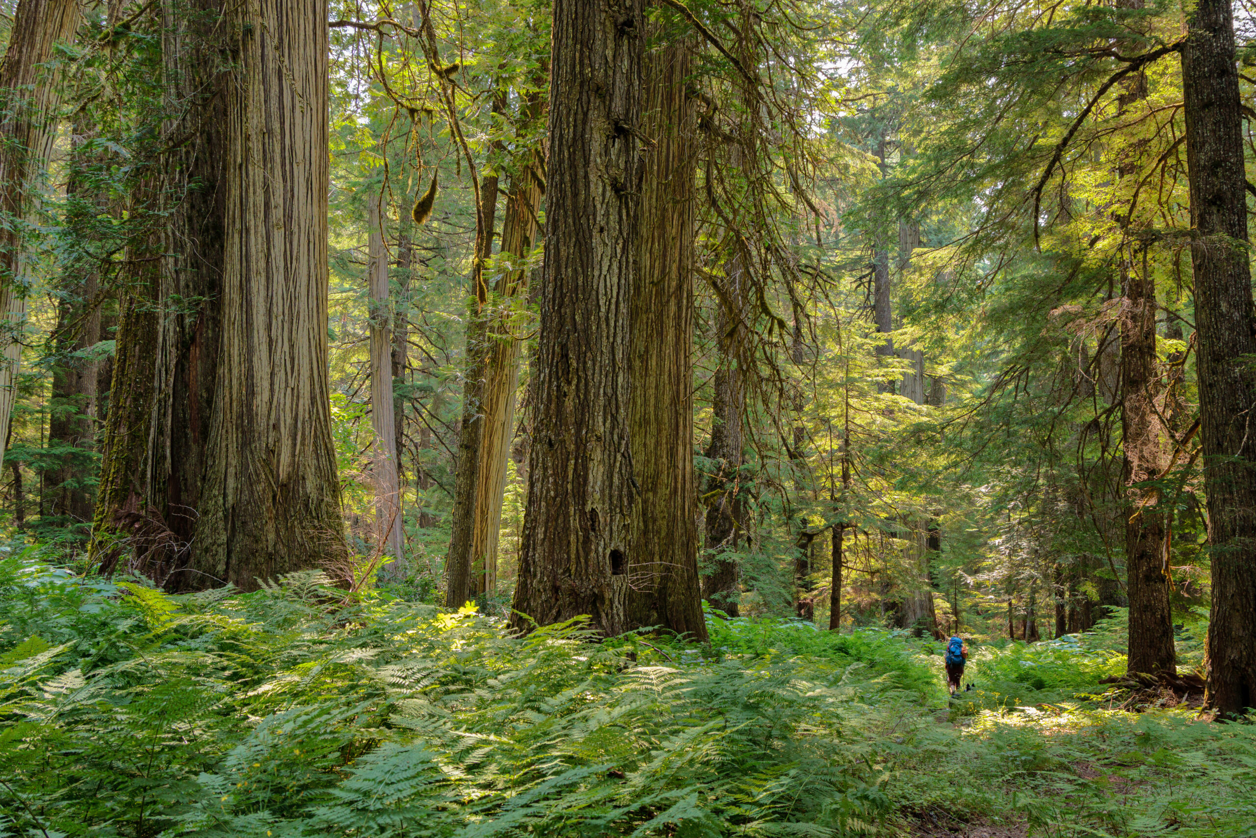
After our jaunt to the fire tower on Shorty Peak, we decided to go out for a more conventional backpacking trip – the kind where we bring everything we need with us, including the shelter. We chose the upper priest river, a relatively mild trail to get us started. This trail goes 8 miles along the upper Priest River through lush old-growth forest, ending at a waterfall just miles from the Canadian border. In many ways, this trip reminded me of backpacking in the eastern US. If you’re looking for grand mountain views and high alpine lakes and meadows, this…