Stevens Lakes
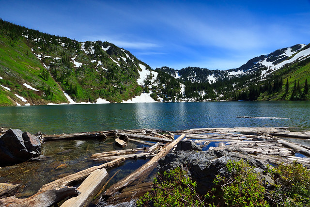
The hike to Stevens Lakes itsn’t particularly hard, but it’s no walk in the park either. It’s about 2.5 miles and 1700 feet of vertical gain to the upper lake on a well-used and well-mantained trail. It starts off relatively steep and continues to climb steadily for the next mile before levelling out briefly as the trail emerges from a beautiful forest into an open basin surrounded by walls several hundred feet high. Just atop the headwall, 350 feet up, is the first lake, and Willow Creek drains from Lower Stevens Lake to drop over this ledge with a series of amazing waterfalls. It is at the bottom of this drop that the trail crosses the creek to start the mighty ascent and final approach to the lake. The old trail used to route you straight up the incline, but a new trail routes you along a series of switchbacks across a talus field, but on this July day, we were crossing a fairly significant snow field. As the trail came back with the old route, the final switchbacks were also snow covered, but the snow was soft and kicking steps was quite easy. We passed a view of the upper waterfall, a beautiful 30-40 ft. drop, before levelling out atop the wall. It was not long before the lake came into view along with a seriese of campsites along the northern shore.
I was surprised to see so much snow at sub-6000 foot elevations this late into July, but the upper lake, only a few hundred feet higher, was still mostly frozen over. There was a warm sun, cool breeze, and not a sound from the developed world despite the close proximity to a major interstate. We had only hiked in a little over 2 miles at this point, but it felt like the middle of the wilderness. I was also surprised at how pristine the forest was on this hike. The land closer to the interstate had been logged, and is still being used for timber harvesting, yet the Stevens Lake trail saw none of it. Along with the snow, it was still early spring up there. The Glacier Lillies, Trillium, and Forget-me-nots were in bloom all over the place, and on the lower sections of the trail, I finally saw some Beargrass in full bloom.
Stevens Lakes are a popular camping spot, and it’s not hard to see why. It’s so relaxing with beautiful scenery but not a huge effort to get there. On this day, there were at least 3 groups camping for the night. There are also a handful of sites by the upper lake, but they were stilI burried under a couple feet of snow. In a few weeks, I may have to return and continue my hike up to Stevens Peak, an easy bushwhack to the ridge and a jaunt to the summit. I braved the snow and made it up to the upper lake for a few shots before turning back and descending to the car.
We finished the day with a dinner in Wallace.
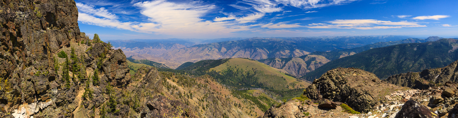
There are many of these alpine lakes all over the mountains of the west. Many of them require long and strenuous hikes, but the reward is often worth it. But for families and non-hikers, the trip can be intimidating. Some of these lakes are accessible by car, but when you drive into one of these basins, you lose some of the magic and serenity. Some of the hikes are easy and require a difficult drive over primitive roads to start your hike in the high country. What makes Stevens Lakes so appealing is that it is easy to get to, right off of I-90, and the hike can be made for all levels. If you’re in shape, you can easily make it to the lakes in an hour and then continue up the ridges. If you’re slower, you can take all the time you want because it’s only 2 miles in. It’s a great way to spend a summer day and get to some great scenery.
View the Photo Album from this hike.
View Stevens Lakes Hike in a larger map