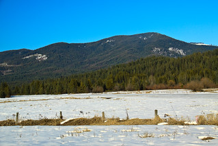
Elk Butte
Ever since I first visited Elk River during my interview trip in February 2010, I had a desire to get to the top of Elk Butte. After all, who could resist a lookout tower boasting 3000 foot views? The only problem was finding a suitable way to get up there. While the maps show a road to the summit, descriptions also warn that the summit is not accessible by car. Most people reach the summit by four-wheelers in the summer and snowmobiles in the winter. I had read that it was a 7-mile one-way trip, which ruled out a day trip for my hiking abilities.
Two weekends ago, during a scouting mission to the Morris Creek Cedar Grove, I decided to drive the roads on the mountain to see just how far I could get. It turns out, you can drive to within 3 miles of the summit. Running low on time, I decided to come back to explore this hike and bring some friends along. That’s what I did this past weekend.
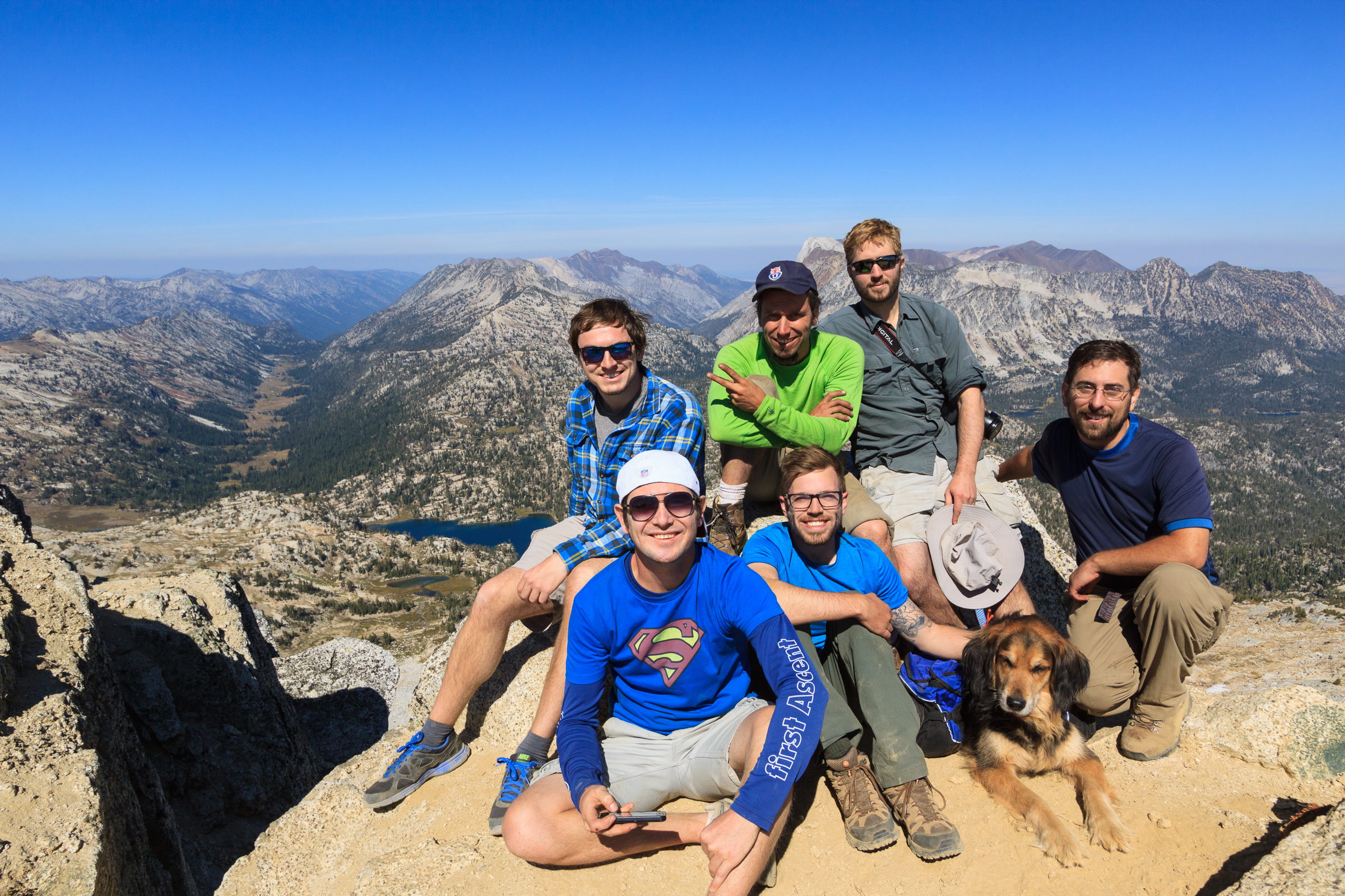
Many of my friends have been out to the falls, but have never gone into the town of Elk River, let alone ventured back to the grove of big trees. So I took them back to see the Giant Cedar where they were amazed at the size of the tree. We also had some fun identifying wildflowers in bloom. Since we got a late start, we skipped the Morris Cedar Grove and headed straight to the mountain.
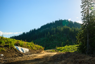
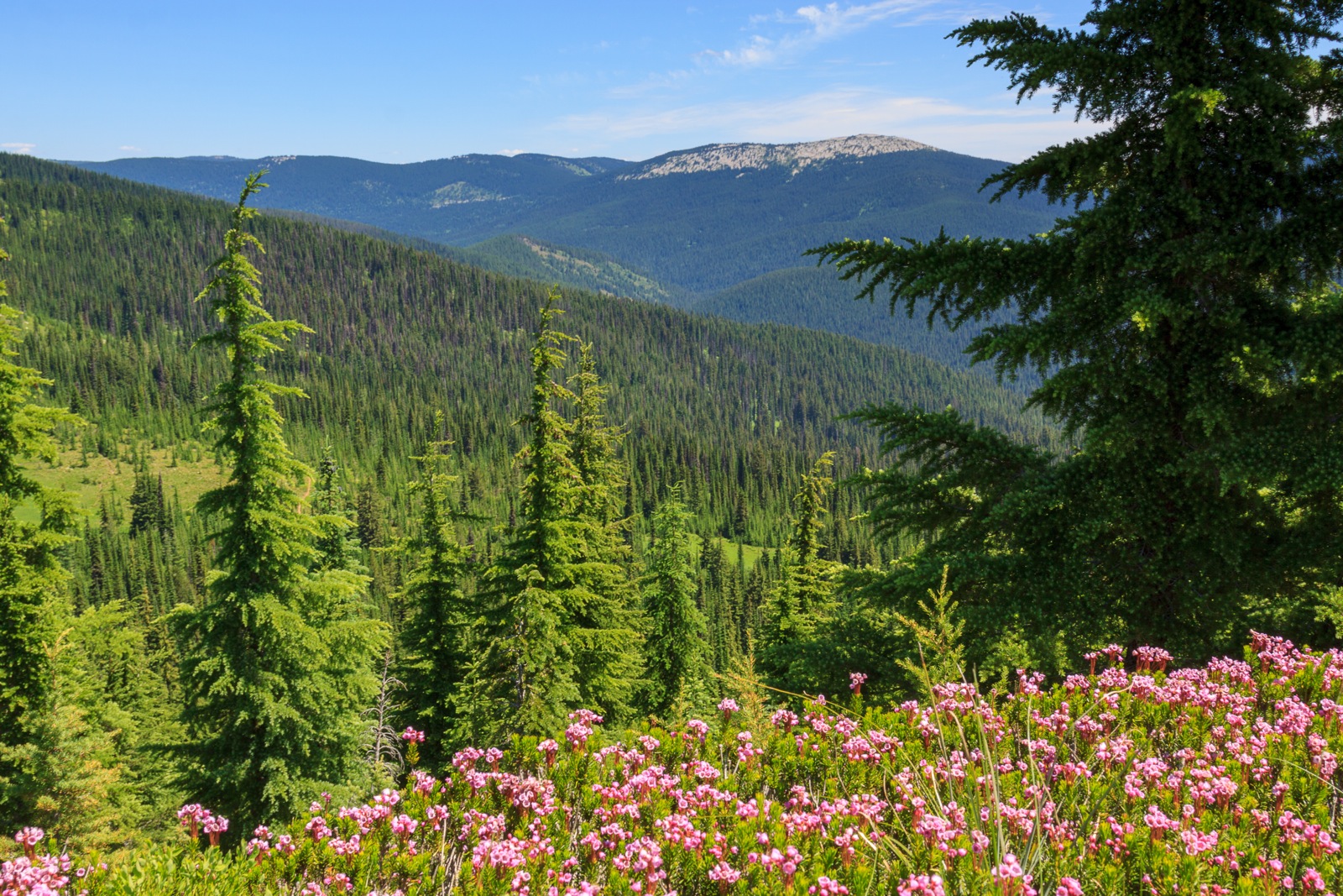
The hike is 2.8 miles one-way on a gated road, thus the terrain is open on a well-defined path. The first half of the hike is completely open though a clear-cut. This patch is recovering with a nice cover of bushes and small trees creating a great habitat for birds. It also opens up the slopes to views of surrounding mountains. About a mile in, we reach a spot where we can see the summit. It’s tempting to hike stright up, but it’s certainly easier to walk the extra distance around to the other side. After this point, we re-enter the national forest and into a nice forested patch of hemlock and spruce with a dense understory of huckleberry. Based on the number of flowers on the huckleberry bushes, I think we may have a good year this year. During the last mile, the incline steepens as you gain about 500 feet to reach the tower.
An 80-foot fire tower stands on the summit of Elk Butte, however the cabin at the top is not accessible to the general public. A lower cabin at 30 feet is accessible by a stairway. Though the interior is locked, visitors can stand on the deck and look down at the town of Elk River 3000 feet below. There are theoretically veiws in all directions, but this requires you to lean around the cabin to see what is toward the north.
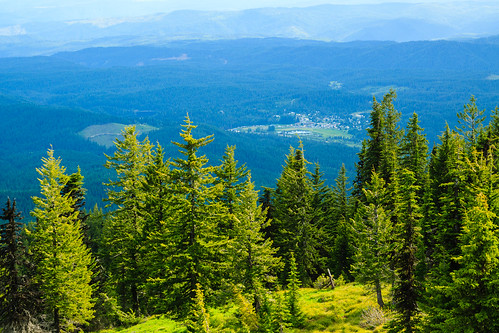
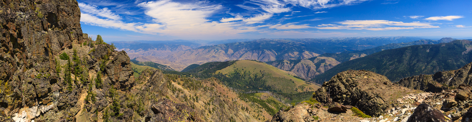
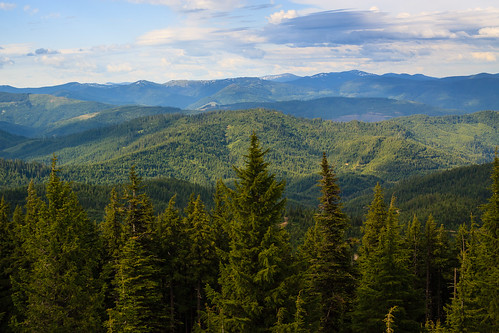
Elk Butte sits in an ideal location, central to viewing some prominent landmarks around north-central Idaho. To the north, you’ll view the meadow-covered slopes of Freezeout Saddle. To the east, you’ll notice some high peaks beyond Dworshak Reservoir. These belong to the Mallard-Larkins area. Some of the other high landmarks require a clear day. To the southeast, you might see some snow-covered peaks on the horizon belonging to the Bitterroot mountains. To the south, behind the camas prairie is the snow-capped Gospel Hump. A little bit further west, the Seven Devils rise above the horizon, and beyond that, the Wallowas may be visible on a really clear day. To the West, you’ll gaze over the Palouse with Moscow Mountain as the first major feature on the north end.
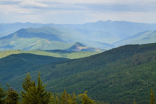
Elk Butte sits among active logging territory, so the scenery is dotted with patches of mature and cut forest. This can detract from the overall beauty, but remember, the logging operations sustain the economy of the region and also help in the conservation of some other special places. If you can look past the massive deforestation, you can get lost in the sheer number and size of the mountains. You’re truely at the edge of civilization.
If hiking to the summit, the trail is accessible by car on well-maintained logging roads. If four-wheeling to the summit, there are trails that take off from the base of the mountain. This can easily be combined with a trip to the cedar groves and the falls for a full-day or weekend visit at Elk River. Be sure to stop at the general store for some huckleberry ice cream. We unfortunately got there too late on this trip. For a map and directions to the trailhead, view my trip report here.