Stories

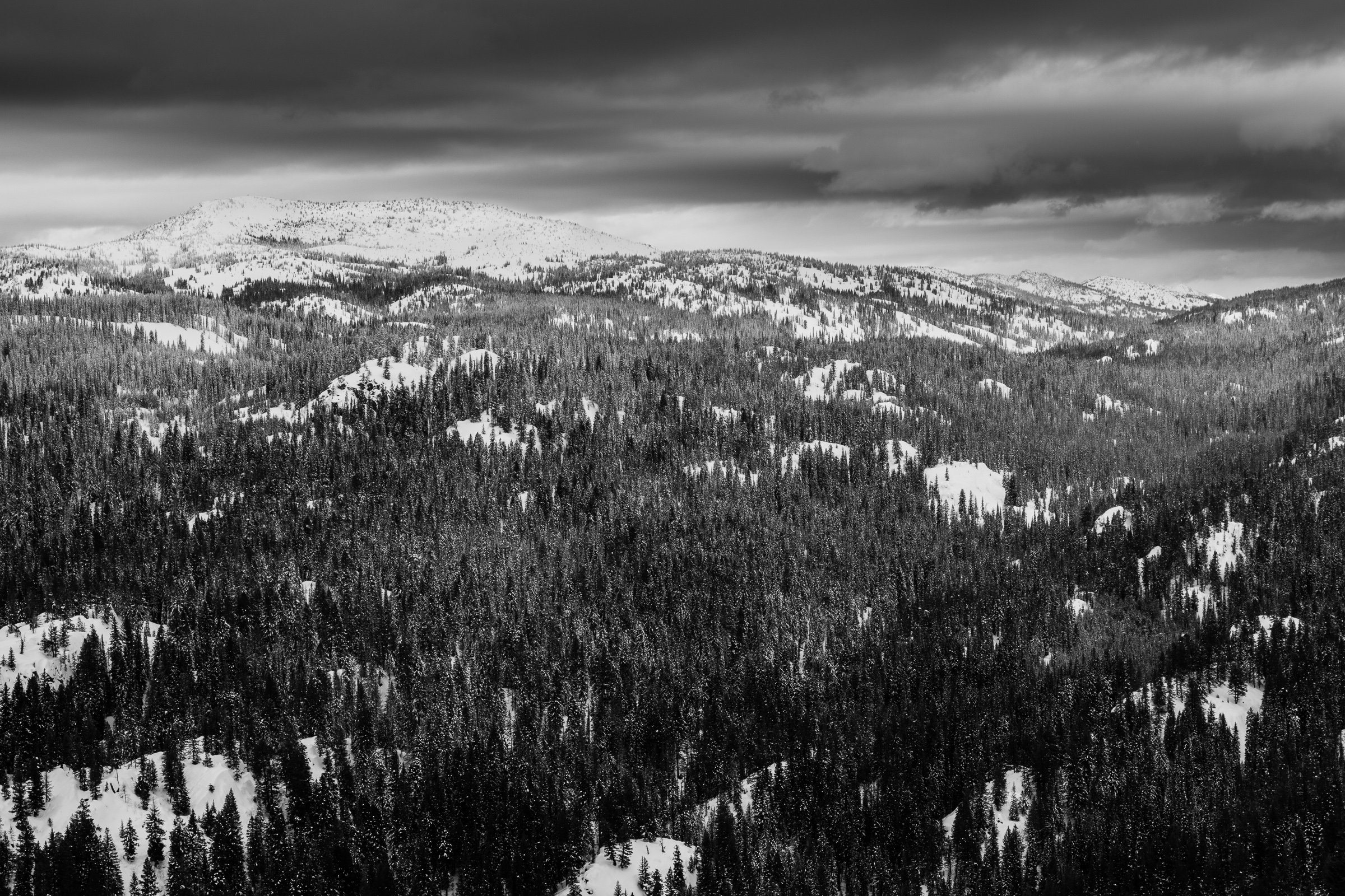
  • Grandmother and Grandfather Mountains

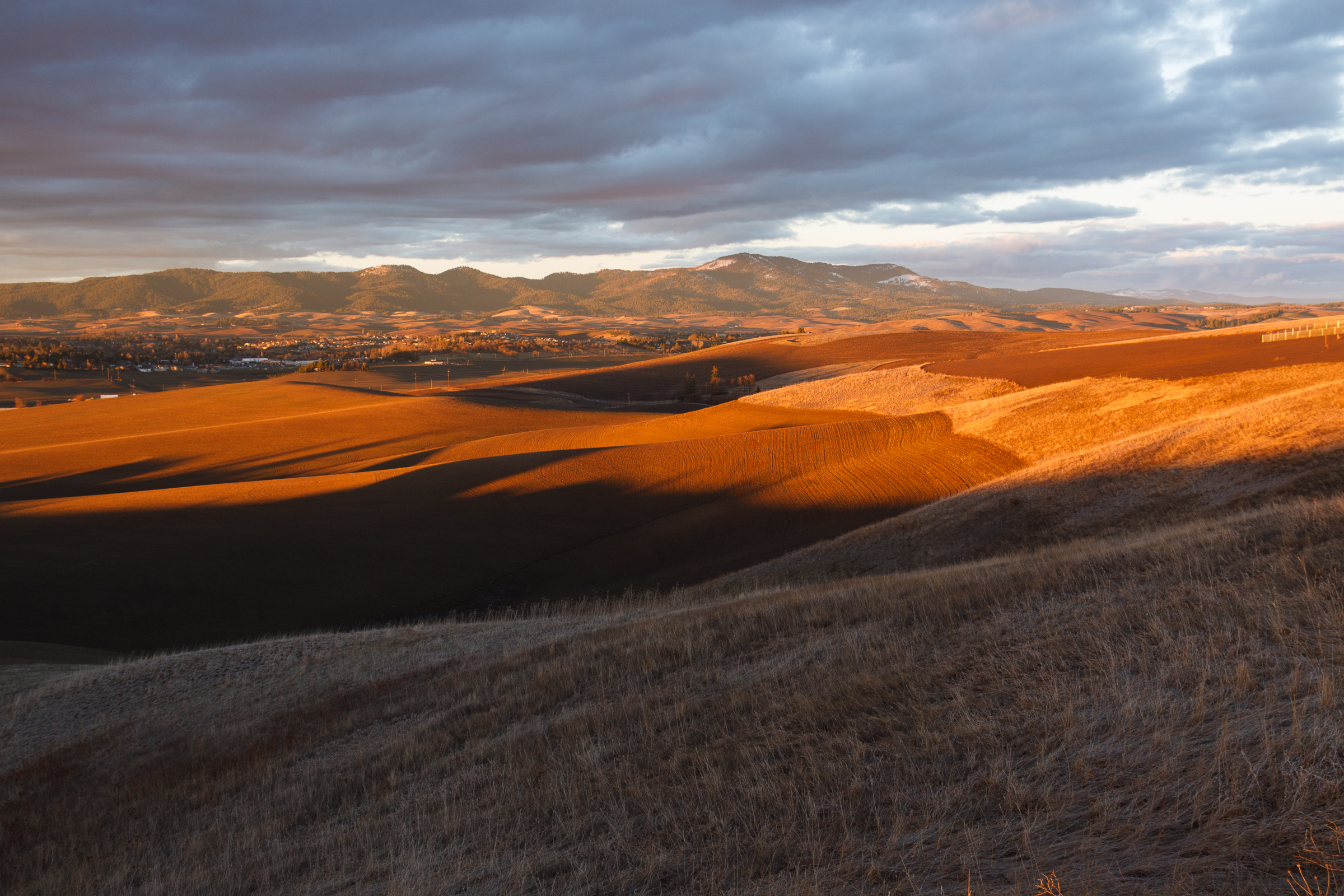
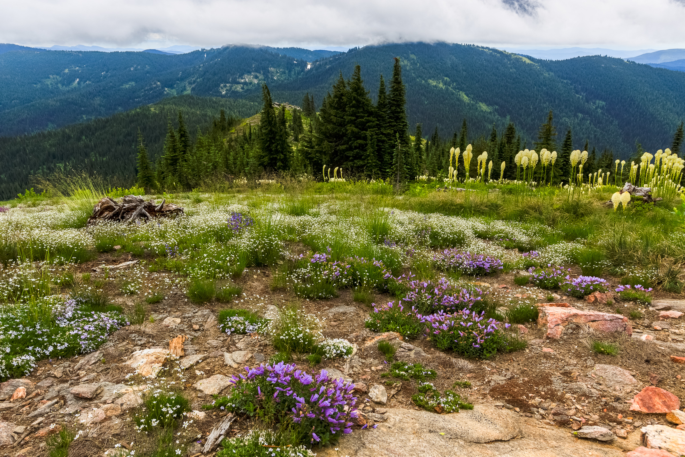
    Since my daughter was born a month ago, I haven’t been able to get out and stretch my legs on the trail. So when an opportunity came along to go hiking, I jumped at it. The past few weeks had been miserably hot, even to the point where escaping into the high elevations wouldn’t provide refuge from the heat. However, since nights were cool, the early morning hours were a pleasant time to be outside. So one morning, CJ and I hit up Spud Hill in Deary and made it down just in time for the heat to make life uncomfortable….

  • Introducing Clara

      On Thursday, June 19, my 32nd birthday, Erin woke up having contractions that were 10 minutes apart, give or take a minute. This persisted through the morning. By the afternoon, the contractions had gotten closer together. We left home around 2:30 and an hour later, we were at the birth center in Moscow. Clara would have been born at the birth center with the midwife attending, but upon the final moments, we discovered she was breech. So, Erin was transferred over to the hospital where Clara came into this world ass-first at 10:47 pm. Since we’ve arrived home, life…

  • Mexico, Auroras, and other June Fun

    I’m a bit late getting some updates out, so I’m going to condense about 3 posts in to one in the hopes that I can get caught up. So let’s start with my trip to Mexico. If it wasn’t obvious from my last post, I went down to the Mayan Riviera with Erin and the rest of my family to celebrate the marriage of my sister and now brother-in-law. We all stayed at an all inclusive resort on the beach in Playa del Carmen, which sounds like a great idea, but in practice, I don’t think I’ll ever do it…

  • Flight Paths

    [map style=”width: auto; height:400px; margin:20px 0px 20px 0px; border: 1px solid black;” maptype=”ROADMAP” gpx=”http://www.mineral2.com/wp-content/uploads/Flights.GPX”] If you don’t already know me, I have a thing for maps and geography. It’s an absolute delight to see the landscape from the air. I’ve been bringing my GPS with me when I fly, mostly to keep track of flight progress and to identify what I’m seeing out the window. But it’s also interesting to see how the FAA routes flights. Spoiler Alert: it’s not a direct path between cities. The two tracks above show the flight path between Phoenix and Cancun in both directions….

  • What might the native prairie have looked like?

    It’s hard to imagine what America’s prairies looked like when they were unspoiled. Today, more than 95% of our prairies and grasslands have been repurposed for agriculture. The last remnants are so highly fragmented that it’s a fight to keep non-native invasive species from taking over. Prairies and grasslands were once thought to be ecological wastelands, a monoculture of grass with not much productivity. From a distance, the prairie might seem like a boring place. But up close, prairies have the capacity to harbor more diversity than some forests. To really appreciate all that these grasslands have to offer, it’s…

  • |

    Evo-WIBO and the Olympic Peninsula

    I’m two weeks on this post, but forgive me because the last two weeks of the semester have been insane. The bi-annual northwest evolution conference, Evo-WIBO, occurred the last weekend of April. If you don’t remember, I attended the last meeting two years ago and presented a talk on the results of our selection experiment. This year, I presented a poster (my first) on the use of function-value trait analysis to analyze video tracking data. In short, we can use functions to describe behaviors over time and use more details in the data than if we were to simply distill…

  • Scenic Drives and Cemeteries

    I really enjoy the small historic cemeteries that dot the Palouse. They’re tucked away on obscure roads or in the middle of farm fields in places where you wouldn’t think to go. They’re incredibly peaceful and scenic and full of local history. So, I decided to visit a few local to my house along one of my favorite drives (See the map above). This loop takes you into some remote corners of the Palouse region with some awesome scenery. If you have a free day with some nice weather, consider this for your day out. Texas Ridge Road The first…

  • Asotin Creek

    It’s funny that only two weeks ago, I was clearing snow from my driveway, and now there’s hardly any sign of winter left on the Palouse. Instead of snow, it rained for nearly a week straight. So when we caught a break in the weather on Saturday, I was quite happy to take advantage and begin my spring hiking season. I chose to go to Asotin Creek. The town of Asotin is located five miles south of Clarkston, Washington. It is here that Asotin Creek empties its water into the Snake River. But the hiking begins about 20 miles upstream…

  • Palouse Photography: Waiting for the right light

    This post will demonstrate just how fast light can change, especially during sunrise and sunset. These three images, taken in the same location on the same day within a half-hour window, demonstrate just how quickly light can change. Therefore, it is often necessary to scout out locations before setting up your desired image so that you can be ready to capture the scene when the light is perfect. Of course, perfect light is a subjective quality. All three of these images are wonderful, which means all three lighting scenarios are desirable. I spent as much time as I could at…

  • |

    A President’s Weekend in McCall

    I can’t believe February is almost over an I haven’t made any posts yet. I’ve been plugging along with classes and research and laying fairly low for financial reasons. I’m not skiing this year, which helps out in keeping my costs down. I have been snowshoeing more this winter than in the past, and that’s helping to keep me in shape, but it’s not quite as often as I’d like. In part, it’s due to time constraints, and in part it’s due to the weird weather we’ve been having this winter. We’ve had less snow than in winters past, and…