I can’t believe February is almost over an I haven’t made any posts yet. I’ve been plugging along with classes and research and laying fairly low for financial reasons. I’m not skiing this year, which helps out in keeping my costs down. I have been snowshoeing more this winter than in the past, and that’s helping to keep me in shape, but it’s not quite as often as I’d like. In part, it’s due to time constraints, and in part it’s due to the weird weather we’ve been having this winter. We’ve had less snow than in winters past, and when we do get a big snowstorm, temperatures warm up and we lose the accumulation pretty quickly. At least, that’s the case down here in the lower elevations of the Palouse. It’s a slightly different scenario higher up.
While the grass was out in Moscow, McCall was still buried under a few feet of snow, though warm weather threatened that as well. Last year, about 20 post-docs and graduate students got together and rented a house for a ski weekend in McCall. Apparently I didn’t post about this little adventure. We went down during the first weekend of McCall’s winter carnival, which also coincides with Brundage’s Beer and Gear weekend in which the ski shops set up gear demo stations and the local breweries brings some brews to try out. But since none of us actually demoed the gear, and the beer portion of the festival wasn’t anything special (no beer garden, no discounted pints), we decided to return during a 3-day weekend to have more time to play. Again, we had about 20 of us on this trip, and we found a really nice house to accommodate us. I also had a few people not skiing who could join me for some alternative fun. This is the story of our weekend.
Day 1: Snowshoeing to Molly’s Hot Springs
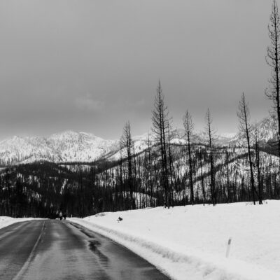
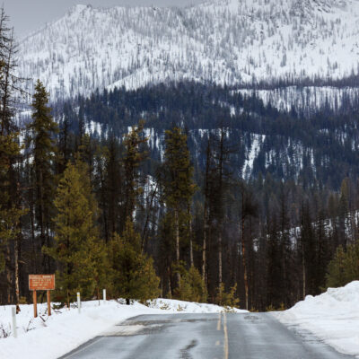
I had two goals on my agenda for the weekend: To do lots of snowshoeing, and to soak in a hot spring. Luckily, I could satisfy both in one trip. Molly’s Hot Springs is located about 90 minutes south of McCall (really only 50 miles of driving) near the Warm Lake recreation area. It would generally be accessible by car with a short walk to the springs, but in winter, only the main road to Warm Lake is plowed. This leaves us with a 2-mile hike in the snow along the unplowed forest service road along the South Fork of the Salmon River. At least, that’s what it was supposed to be. The nearest available parking was about half a mile down the road at a second unplowed FS road. The two run fairly parallel with a small mountain between them. According to my map, there was a connecting road on the opposite side of this mountain which would extend the hike to the springs to 3 miles, but allow us to make a full loop instead of an out-and-back hike. So, we chose this option.
For the first two miles, the hike was great. The road had been packed down by snowmobiles which makes snowshoeing quite easy. Even the cross-country skier in our group was having a great time. We made it to the connecting trail in about one hour. That’s when the easy part ended. The connecting road turned out to be an old logging road no longer maintained. As a result, there were no snowmobile tracks to walk on. But no problem, right? The snow pack was three, maybe four feet deep, though this wasn’t your dry, fluffy powder. The warm weather did extend to McCall and Warm Lake and even though we were above 5000 feet, temperatures had been above freezing. This was three or four feet of wet, heavy snow. But even with three of us, we should have been able to make a nice little trail. When I took my first steps, I sank down to my knees. It was way more unstable than I had expected, and that was with snowshoes. But what choice did we have? Our goal was to reach the hot springs, and this was the only way to possibly reach them with enough time to soak.
The main problem is that even when the first person sinks, the next person to step in that footprint may sink even lower. It dawned on me that we had been hiking on a road previously, a solid surface. We were now walking on top of small trees that were growing back and reclaiming what had once been a road many years ago. The vegetation under us was small enough to be completely covered by the snow, but it was enough to create tree wells, pockets of air under the snow that collapsed as soon as we stepped on them. Not every step sank so deep, so it became a game of how long would it take before you were plunged waste deep. If there was a way to break your leg snowshoeing, this would be it. Meanwhile, our cross-country skier was able to continue along just fine. This might be one of the advantages to taking skis into the backcountry.
It took us over an hour to travel 0.8 miles. When we finally reached the other road, we were ecstatic to be on snowmobile tracks again. But the hot spring was another 0.2 miles on a side road. We were still falling through the snow, but it wasn’t quite as bad. A bridge crosses the river and the hot springs are located up the hill from the opposite bank. We got to the bride around 3:00 pm, too late to take time to soak without having to hike out in the dark. But I wanted to check out the pool anyway.
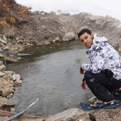
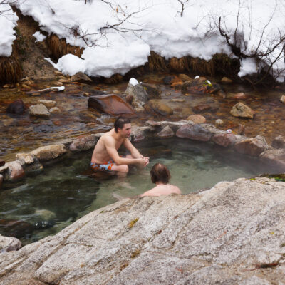
Molly’s Hot Spring is the last in a series of springs along the South Fork of the Salmon River, heading upstream from Warm Lake Road. The other springs are closer to the river, and in late summer and fall, are easily accessible. In the winter, you don’t want to cross the cold river, and in the spring, the soaking pools are submerged by the snowmelt and runoff. Molly’s Hot Spring is high enough up the hill and near a bridge to avoid any of these problems, so it’s technically a year-round soaker. The hot water runs down the hill and is piped into a pool that’s not very deep and large enough for maybe four people to fully submerge, though you could probably squeeze six in and still be comfortable. Had we known the connecting trail was going to be so treacherous with snowshoes, we would have just come the other way and saved some time and energy.
The total loop was about six miles, and we made it in 4 hours and 45 minutes. The snowmobile tracks ended about halfway back to Warm Lake Road, adding a little extra difficulty to the last bit of the hike. As we approached the road, we met a group of 12 or so students from Boise State who were snowshoeing in with large packs to spend the night near the hot springs. We sure could have used the path they make our exit easier. Once we hit Warm Lake Road, we were able to take off our snowshoes and walk the remaining half-mile on pavement.
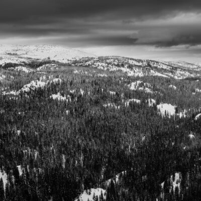
The warm Lake area seems quite beautiful. Unfortunately, it was snowing pretty heavily on the way in, and the clouds remained low for much of the hike. We had scattered snow showers  that turned into scattered rain showers later in the day, but nothing so wet that we were miserable. I was able to see the mountains a bit as we hiked out. On our way back, we stopped at Trail Creek Hot Springs, which are just off the road near Warm Lake. Although this one is road-side, the approach includes a steep decline down the bank to the creek. You’re actually quite hidden from the road, so you don’t notice your proximity. The soaking pools are first class. Two rock and mortar pools were made along the creek and pipes from the source bring hot water to each. The water is so hot that it must be mixed with the cold creek water to be comfortable.
Day 2: Ponderosa State Park
After the epic snowshoe adventure of Saturday, I decided we should keep things light and simple and close to home. But since Anahi had no trouble navigating the deep snow on cross country skis, the rest of us thought we’d also give it a try. Spoiler alter: cross country skiing is not easy.
When I was little, and by little, I mean less than 10 years of age, my parents tried to get my sister and I into cross country skiing. I hated it. It was hard work and not much fun. When I worked at the Weis Ecology Center after college, I had to teach very beginner cross-country ski lessons over the winter which would end with a trip to High Point State Park. Â That winter, we didn’t get enough snow or registrants to make the trip to the park, but I did give a lesson or two, as well as get trained on the basics myself. Since then, I thought it might be good to give it another try. I finally got that chance, and while I don’t regret it at all, it sure reminded me why I wasn’t downhill skiing this year.
Ponderosa State Park is a peninsula in the middle of Payette Lake in McCall. The majority of the park becomes a snow park for cross country skiing and snowshoeing. The groomed trails should be good for beginners. I should mention that this was Tim and Daniel’s (from Brazil) first time on nordic skis. They did well. We started on a trail called Through the Woods. In hindsight, it probably wasn’t the best trail to start on, but then, we were having trouble finding the beginner trails, and thought this was one of them. It wasn’t bad, and led us to one of the beginner trails, but we wanted the one that went up the peninsula. We mistakenly turned onto an intermediate trail and was immediately confronted with a hill. First lesson: going uphill. It was tough, but doable. We got up the small hill to go down on the other side. Fortunately, the downhill wasn’t as steep as the uphill, and we all made it fairly unscathed. Then there was a second hill, and again the downhill wasn’t so bad. Then a third hill, and then a fourth. As we stood on top of the fourth hill, it became apparent that this trail would not be suitable for us beginners to continue. That also presented us with a dilemma. All of the hills we had previously conquered were steep on the ascent, but gentler on the descent. In the return direction, we’d have a steeper descent. We ended up walking down those.
We returned to the parking area via the beginner trail and stopped for a lunch break. Afterward, we found the beginner trails and took a small loop, which proved to be much better for our skill level. In fact, we got through the loop much faster than I had anticipated and we continued up one of the other easy trails until we decided it would be good to turn around and quit for the day. In all, we skied about five miles. Not bad for a first time.
Cross country skiing proved to be a bit harder on me than I expected. I was using a different set of muscles than I did snowshoeing, and I had to rely more on my knees to bear my weight and aid in balance. I knew my right knee wasn’t strong enough to handle downhill skiing this year, and cross-country skiing reinforced that notion. But nordic skiing isn’t completely out of the picture. I wonder if I continue to ski through the rest of the winter (dependent on snow) if that would help me strengthen my knee so that next year, I could hit the slopes again, assuming I can afford it next year. I hear little ones are expensive.
Day 3: Brundage
On monday, we had to pack up and check out of the house. Surprisingly, a large chunk of our group decided to leave on Sunday. The remaining folks decided that the snow was good enough to ski a third day. Originally, I had planned to stop at Pittsburg Saddle and snowshoe up to the Grave Point lookout tower if the weather cooperated for a high point view. But several of my passengers had bailed, my remaining passenger wanted to ski, and the weather report called for inclement weather. I thought maybe a snowshoe along Goose Lake Road at Brundage would be a perfect compromise. Luckily, we awoke to blue skies and sunshine and that remained through much of the afternoon, with some clouds in the sky.
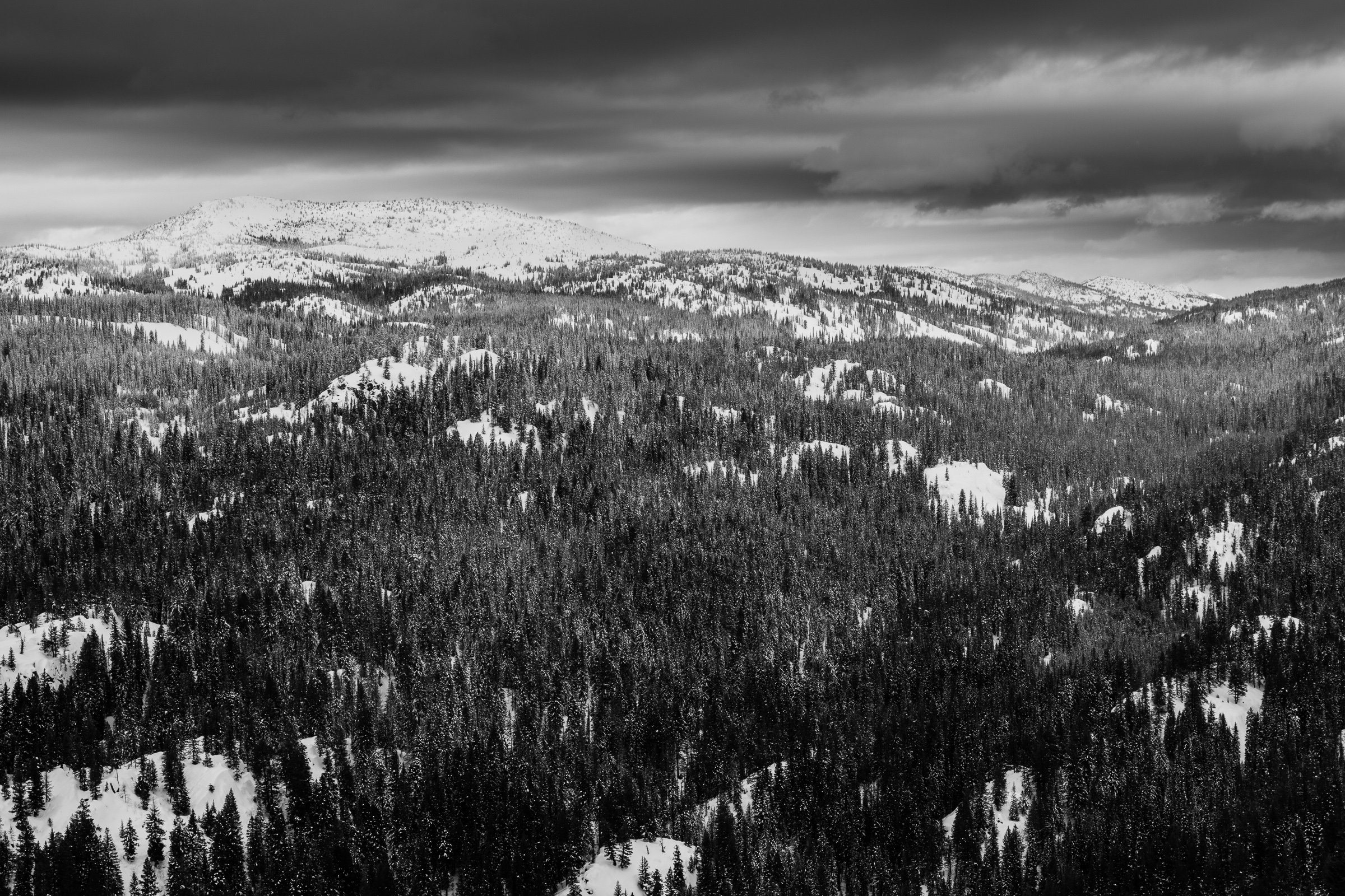
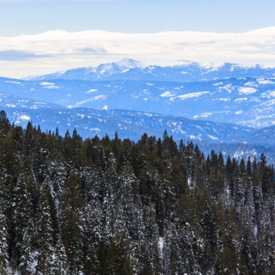
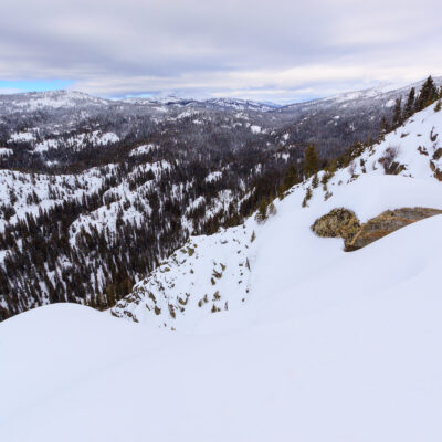
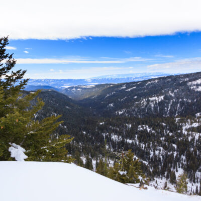
In the summer, Goose Lake Road takes you back into the mountains to the Brundage Reservoir and then to Goose Lake. In the winter, it becomes a snowmobile trail. I had anticipated that the road would be packed down, and it was. I was also afraid we’d have to share it with the snowmobilers, which we did. Nevertheless, it’s still a nice road to walk on with snowshoes. The road traverses the steep side of Brundage Mountain. At around 1.5 miles from the Brundage parking lot, the trees on the downhill slope disappear, opening up a spectacular view of the Goose Creek valley, the mountains up the valley, New Meadows down the valley, and more mountains in the distance. This overlook was my goal for the day. Perhaps in the future, I’ll return and hike farther, though I’d really like to return in the summer and explore the terrain behind Brundage a bit more. There’s a campground at Goose Lake, and from there, a trail takes off for the summit of Granite Peak where there is also a lookout/fire tower.
In total, I logged about 14 miles this weekend, bringing me up to 25 miles for the year. My goal for 2014 is to hike (or snowshoe or cross country ski) a total of 100 miles. When I was working at the Mountain Campus, I would probably have reached that goal in a few months. But since moving out here, I haven’t been covering as much ground. I’m hoping that 100 miles in the year will keep me active enough to be satisfied, though with 25 miles logged in 1.5 months, maybe I can reach that goal before the baby arrives in July.
Challenge accepted.
