White Pine Loop & Bomber Too

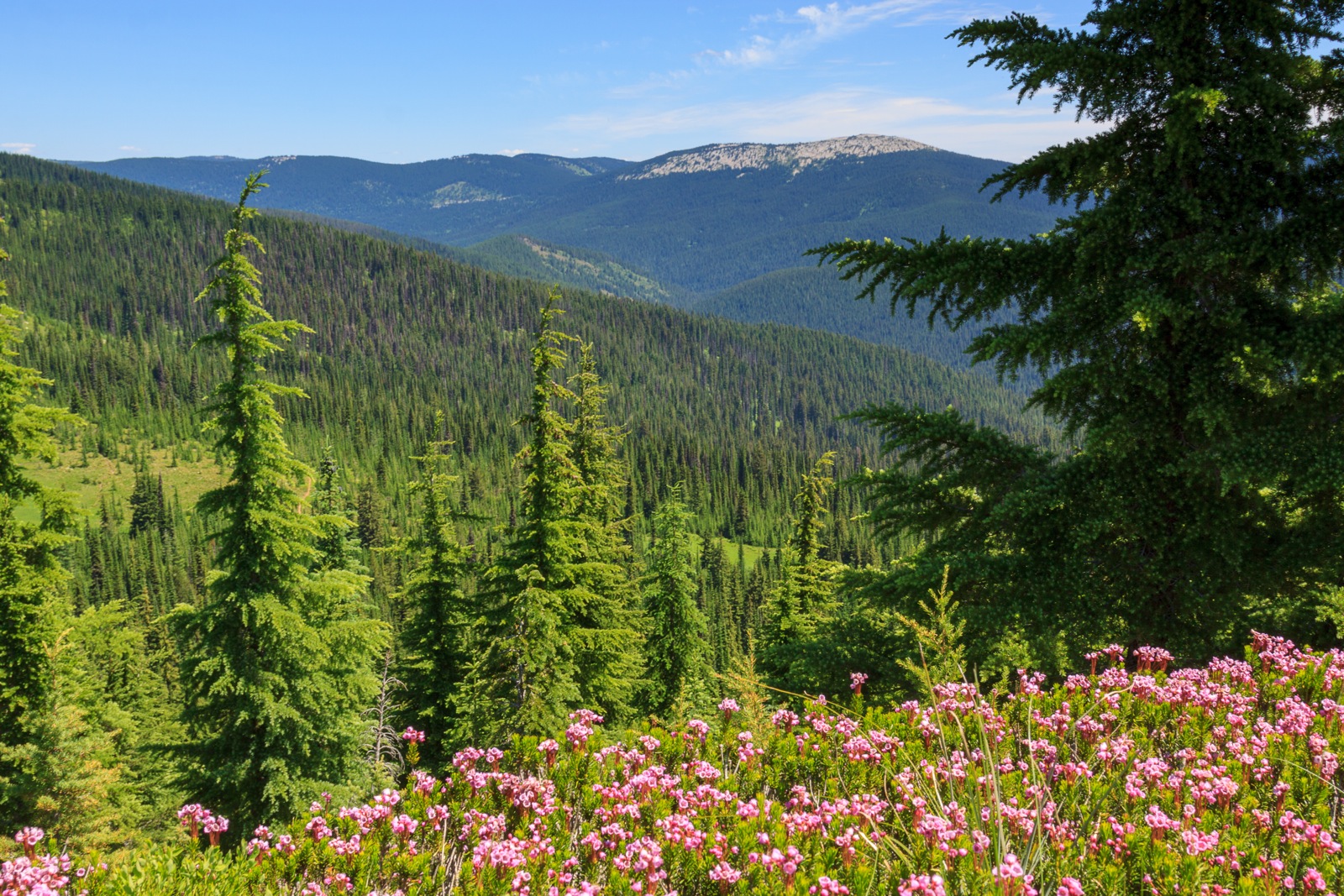
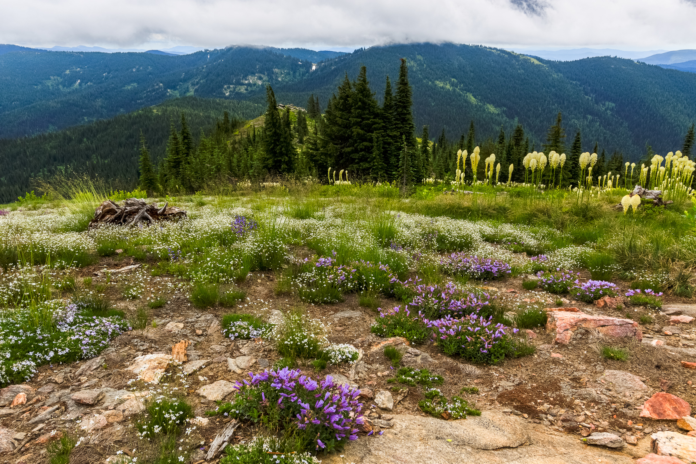
Last week, Clara and I had a day to ourselves, so we had a little adventure on a nearby trail. The white pine loop is a 3-mile hike from the White Pine campground off of Idaho Rt. 6. A one-mile (one-way) out and back spur takes us to the site of a WWII bomber crash site with some pieces of the wreckage still littered throughout the woods. But rather than write a lengthy post with a few photos, I’ve decided to try a video series that I’m calling Adventures with Clara to highlight just how adventurous she is.


[map style=”width: auto; height:400px; margin:20px 0px 20px 0px; border: 1px solid black;” gpx=”http://www.mineral2.com/wp-content/uploads/White pine loop hike.GPX”]

Similar Posts

  • 4th of July

    Once again, I missed the fireworks. I admit that I was looking forward to photographing them, but in the end, I was busy hanging out with friends, and we decided not to go over to Pullman. I did spend much of my nation’s birthday enjoying one of the best parts about this country: its wild side. I went back up to Freezeout to hike into the alpine meadows of Grandmother Mountain, and I brought a friend with me who had never been up there. Our goal was not to reach the summit, but to simply escape the heat, enjoy the…

  • Stevens Lakes

        The hike to Stevens Lakes itsn’t particularly hard, but it’s no walk in the park either. It’s about 2.5 miles and 1700 feet of vertical gain to the upper lake on a well-used and well-mantained trail. It starts off relatively steep and continues to climb steadily for the next mile before levelling out briefly as the trail emerges from a beautiful forest into an open basin surrounded by walls several hundred feet high. Just atop the headwall, 350 feet up, is the first lake, and Willow Creek drains from Lower Stevens Lake to drop over this ledge with…

  • Asotin Creek… sort of.

    The photo above was taken in February of 2010, my first visit to Asotin Creek. I’ve been back a couple of times as it is usually a reliable winter hike that is free of snow. I had never gone down in the spring when everything is green, and certainly not in the summer when temperatures can reach the 100 degree mark. So it was that Erin and I decided to spend a day down at Asotin Creek. The local wildflowers should be in bloom, and the hills might show hints of colors other than the drab brown of dried grass….

  • Grandmother and Grandfather Mountains

    Since my daughter was born a month ago, I haven’t been able to get out and stretch my legs on the trail. So when an opportunity came along to go hiking, I jumped at it. The past few weeks had been miserably hot, even to the point where escaping into the high elevations wouldn’t provide refuge from the heat. However, since nights were cool, the early morning hours were a pleasant time to be outside. So one morning, CJ and I hit up Spud Hill in Deary and made it down just in time for the heat to make life uncomfortable….

  • Asotin Creek

    It’s funny that only two weeks ago, I was clearing snow from my driveway, and now there’s hardly any sign of winter left on the Palouse. Instead of snow, it rained for nearly a week straight. So when we caught a break in the weather on Saturday, I was quite happy to take advantage and begin my spring hiking season. I chose to go to Asotin Creek. The town of Asotin is located five miles south of Clarkston, Washington. It is here that Asotin Creek empties its water into the Snake River. But the hiking begins about 20 miles upstream…

  • Grandmother Mountain

    Looking West on Grandmother Mountain, originally uploaded by Matthew Singer. This weekend, Erin and I set out for our first hike together in Idaho and we made our first summit together on Grandmother Mountain. The hike to Grandmother Mountain begins high up in the St. Joe National Forest 12 miles out of Clarkia. The entire hike is above 5500 feet, which was a neat considering all of our hiking in the East (so far) was under 5500 feet.* Grandmother Mountain is an easy two-mile one-way along a high sub-alpine ridge with forest mixed with meadow. The summit stands at 6369…