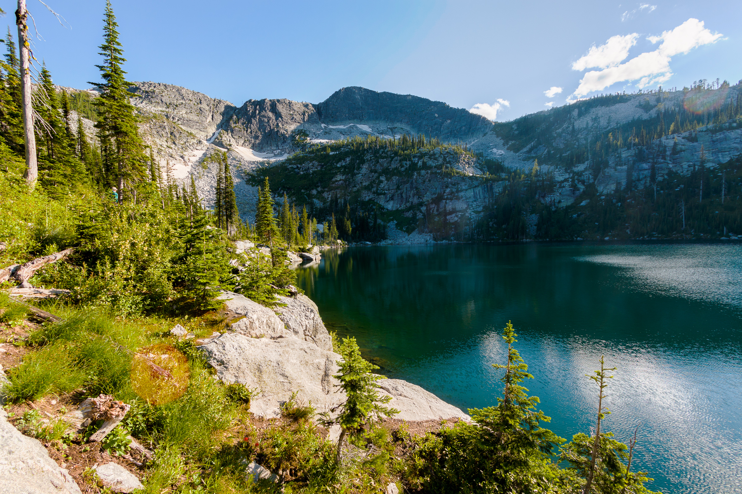
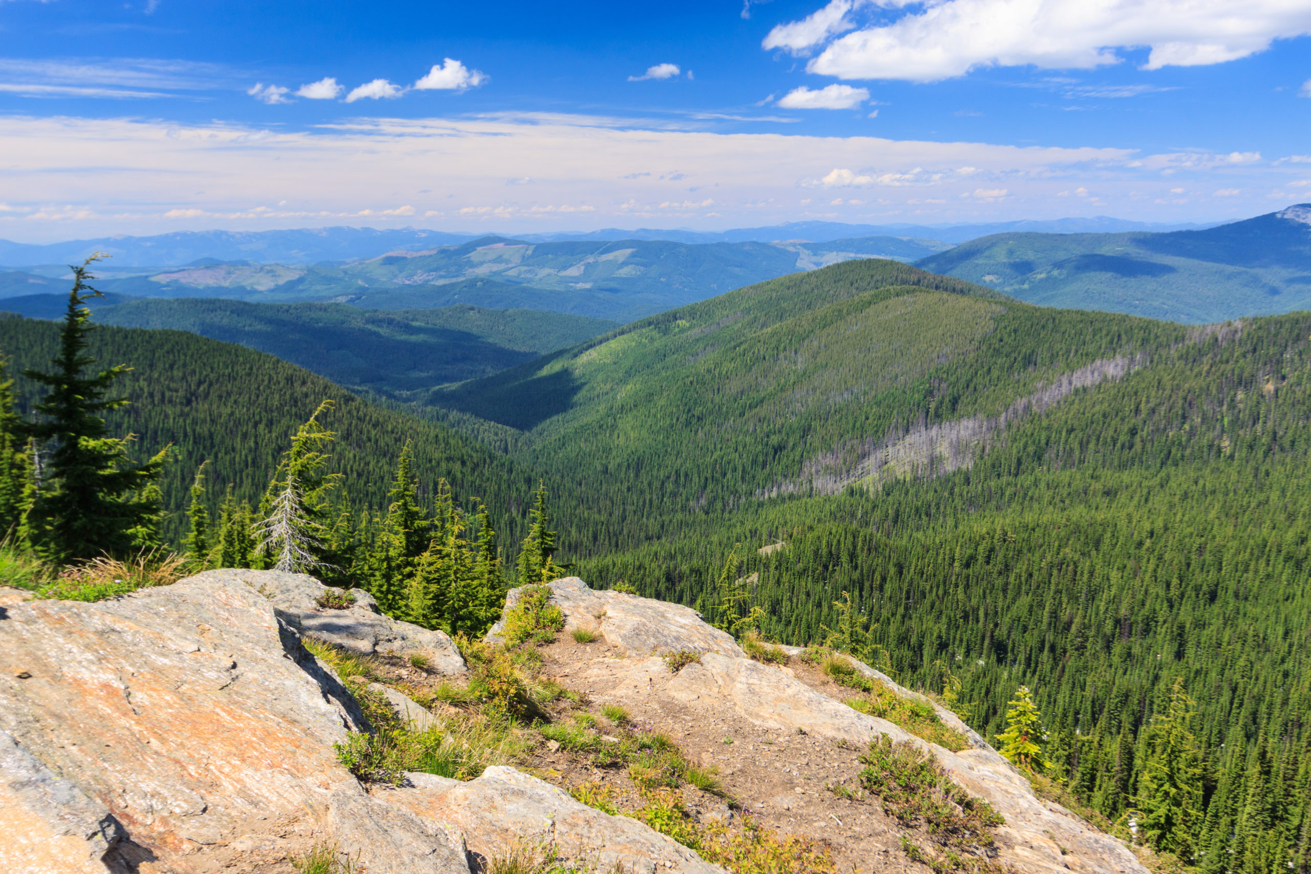
View from Mount Rogers

Oops! I promised a detailed account of my Mount Rogers extravagansa, but forgot to post about it here. So here it is, almost two months late. Of course, you can visit the photo galleries for photos as they are now up there. But here’s my adventure:
Sunday: I left Alabama on Sunday. I said my good byes to everyone, including my 5-foot wild gray ratsnake rescue friend (hehehe), and my partings from Jen. We’re still together for now, but time shall tell if the distance thing works out. So anyway, I headed out of camp by around 11 a.m. CST with Damascus, VA as my destination. I spent the night in the MRO hostel and had some time to explore the town. There’s a really good italian restraunt and the outfitters store and other neat stuff. Basically, the town caters to backpackers since the Appalachian Trail runs through main street. Just over the border, in Tennessee, in the Cherokee National Forest, is a neat little area called Backbone Rock in which one of the mountain’s feet comes down into a big narrow rock gorge with the river making a complete u-turn around it. Originally, a railroad ran through the valley and an extremely short tunnel was built to get the tracks through. Now the road travels under the rock, but there’s a recreation area with trails on top of it and a gorgeous waterfall nearby. It was so neat that I went back Monday morning to photograph it.
Monday: After playing around at Backbone Rock, I checked out of the hostel and headed for Mount Rogers. Along the way, I drove up to the top of the neighboring mountain of Whitetop, with a summit of 5500 ft. (only 200 feet short of Mt. Rogers, the highest in VA). It was really neat up there and the views were gorgeous. In Damascus, the trees were all out in full foliage, but driving toward the mountains, the trees looked as if the leaves were only days old with that new-leaf bright green. On top of the mountains, the trees had not even opened yet. After playing around on white top, I headed down the mountain and ended up by the Grindstone Campground at the base of Mount Rogers (elevation ~3500 ft). I hiked 6 miles to the shelter just below the summit, located around 5500 ft. wtih gorgeous views of the mountains in North Carolina. The shelter is along the Appalachian Trail, and is one of the nicer shelters around. Its two floors and we slept proabably around 14 people in there that night.
Tuesday: I should mention that the weather on Monday was absolutely amazing. It was sunny with a few clouds in the sky, nice and clear, and perfect temperature for hiking. It remained gorgeous all week. Tuesday we woke up to an awesome sunrise on top of the mountain. It was cold and windy up there. I’m not sure what the temp. dropped to, but it had to be close to freezing. The sun felt good and it soon warmed up. After breakfast, I hiked over to Wilburn Ridge about a mile away and played around on the rocks for a while. Up there in the highlands are some herds of wild (feral) ponies which are now protected by the park. Then I headed across the Pine Mountain Trail which connected me back to the AT where I headed down the mountain to my next spot, Old Orchard shelter at around 4000 feet. When I got there, it was much warmer and sheltered from the high winds, so I had to change into shorts. I decided not to sleep in the shelter but pitch my tent and camp. It was a nice place to do that. It was a very serene area with lots of birds. Three Yellow-bellied Sapsuckers flew into camp and Barred Owls called to each other as the sun disappeared.
Wednesday: From Old Orchard, it was only about 5 miles back to the car. My plan was to take the Lewis Fork Trail back to the Mount Rogers Trail (the one I hiked up) and camp at that intersection. However, it would have only been a 3-mile hike and getting to camp that early would have left me sitting around for a long time waiting for night fall. Also, there’s no water source near the camp site. So I made the decision to return to the car. I really didn’t want everything sitting out in the hot sun too long anyway. So I hiked down the Appalachian Trail to the road, which would have left me two miles from the car for a 3-mile day to end on. But, I decided that this hike should be worth something more. So I continued on the AT for another two miles until it intersected with the Iron Mountain trail. That brought me down to 3500 feet to a really awesome birding spot where I saw Hooded warblers, Chestnut-sided warblers, a Canada warbler, Blue-headed Vireo, a Veery, a Black-and-white warbler, Black-throated green warblers, Scarlet tanagers, Red-eyed vireos, and much more. It was awesome. That was at the main road. The trail intersections were two miles up the AT at 4500 feet. Its tough to go uphill after coming downhill for so long. But I made it up there and travelled a mile and a half along the Iron Mountain Trail before coming down on another trail that led me to the car. So, it ended up being about a 5-6 mile day.
In all, the whole trip was only about 16 miles, and could have been done in two days, but it was so beautiful and relaxing up there that I had to stop and soak it in. It was so un-stressful and de-stressing. I can’t wait to go back.
Of course, I’ll have photos soon for all to see. : )
I reached the car at 2:00 p.m. on Wednesday and was glad to get out of my boots. I drove out to the town of Marion and then made my way north to Fredericksburg, stopping in some towns along the way to see what was in them. I visited my friend Renee in Fredericksburg for a week and then came home. I’ll tell you more about that in another post.