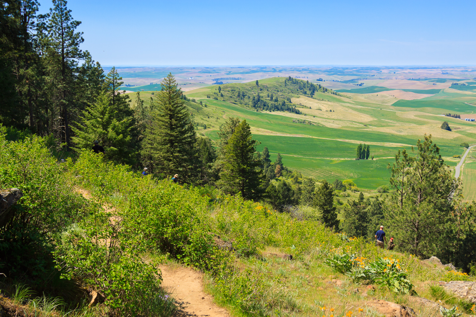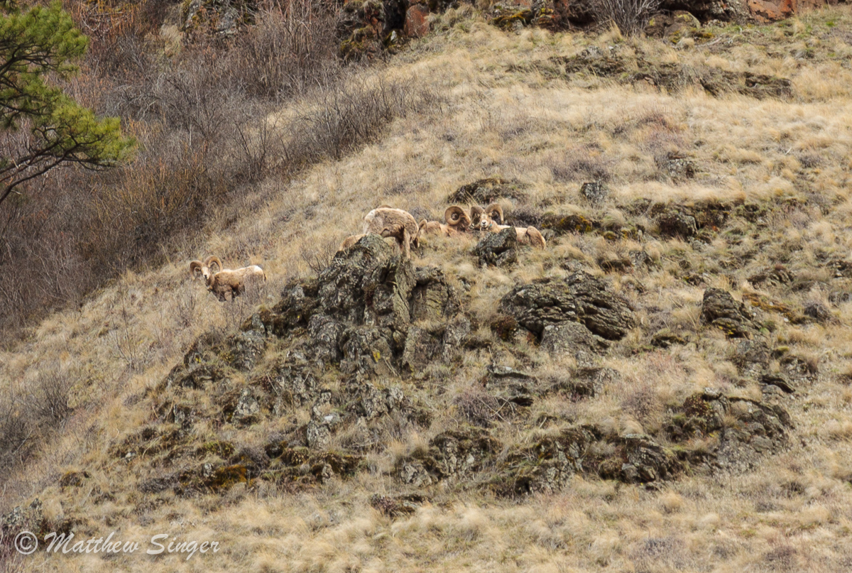
East Moscow Mountain
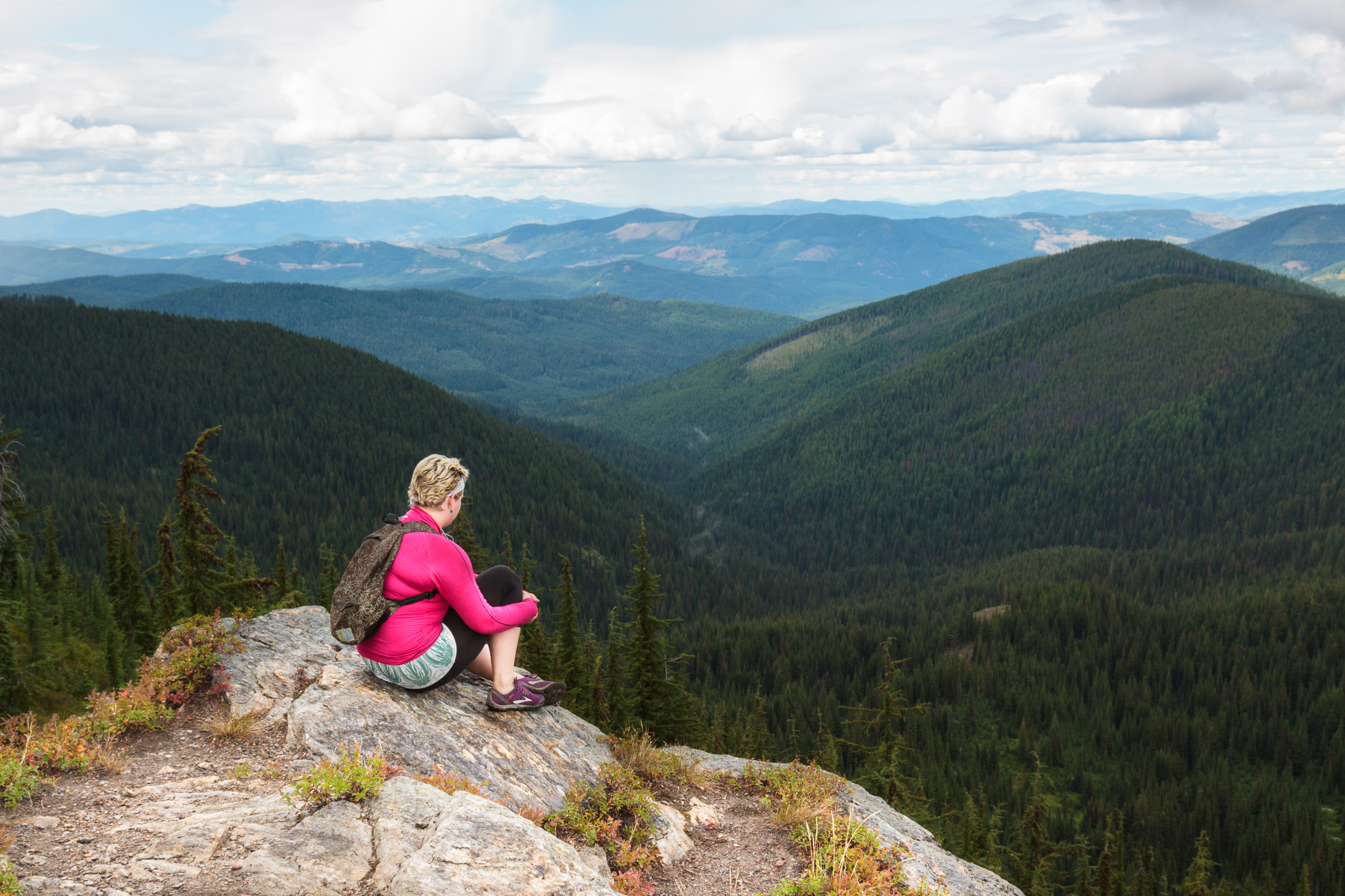
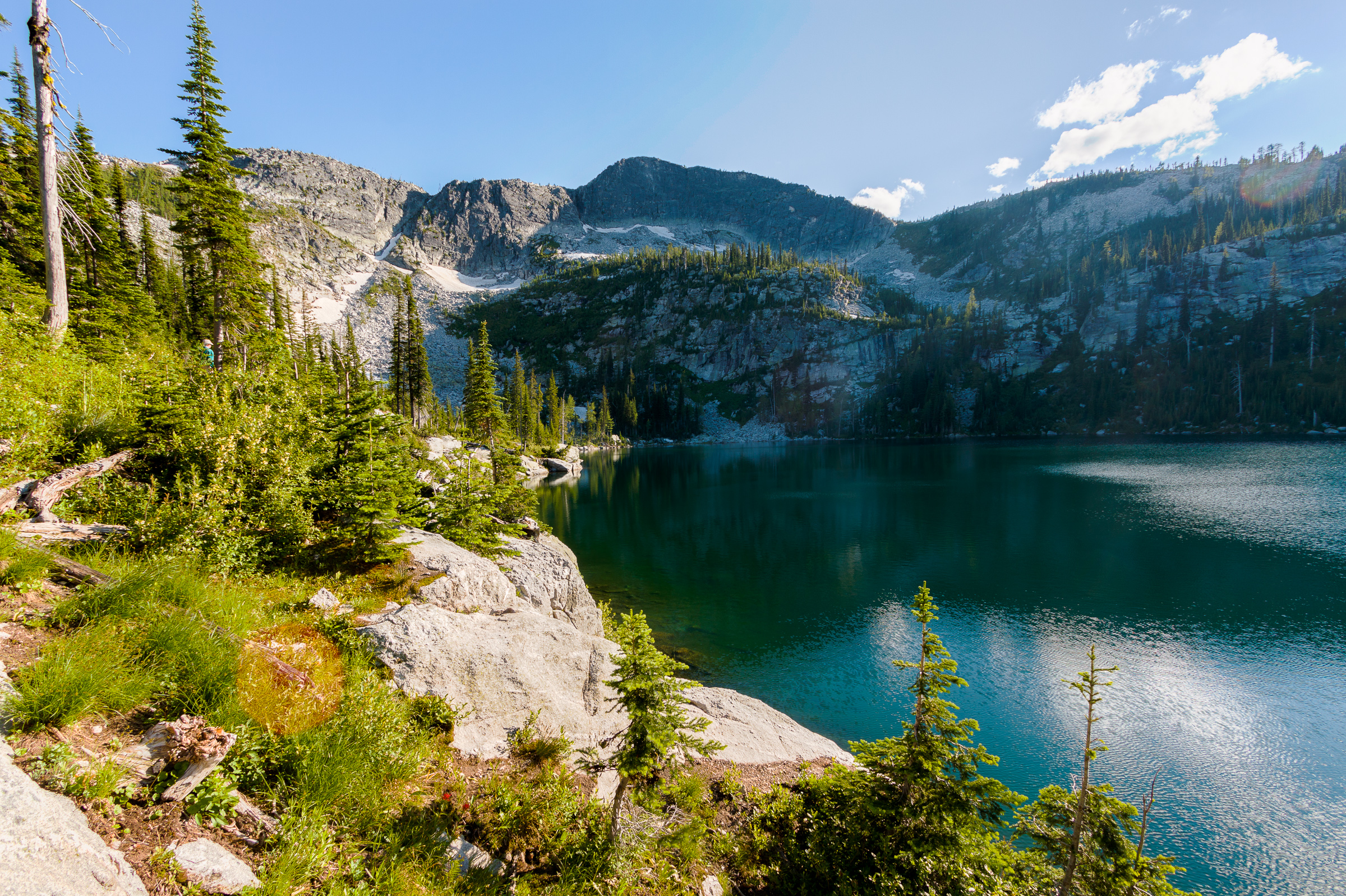
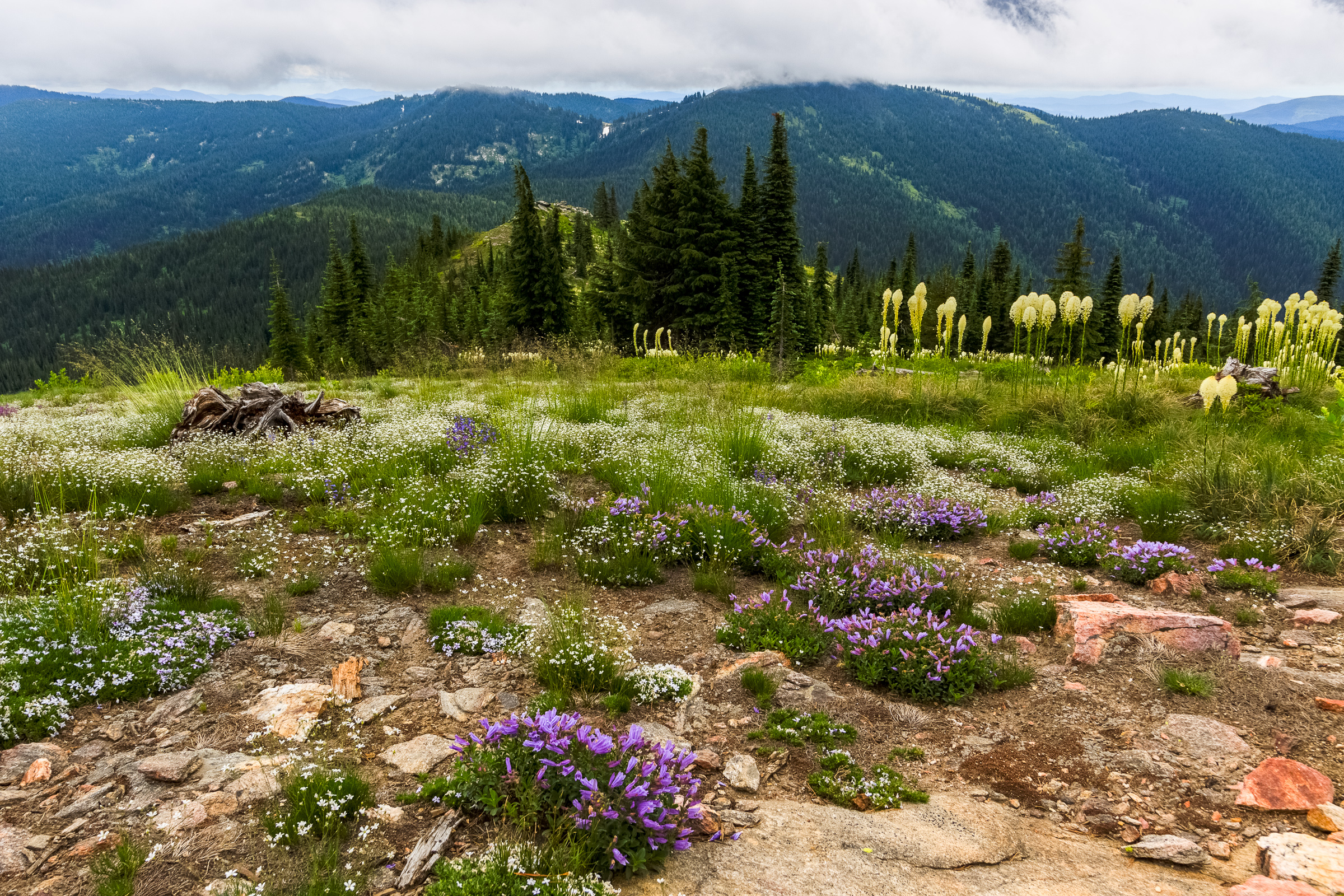
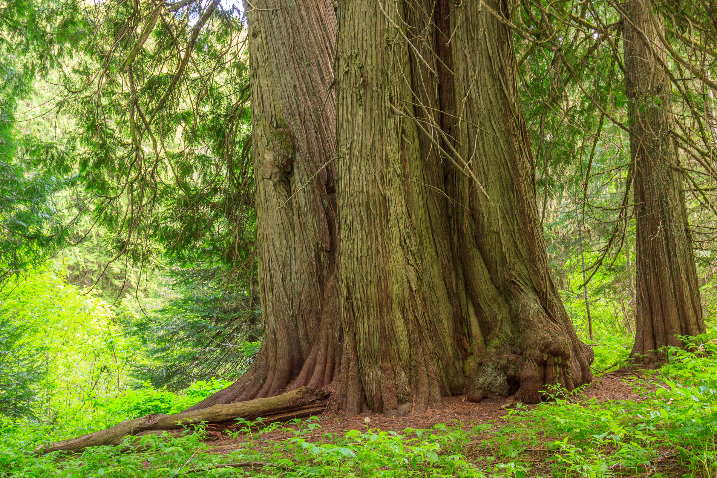
[map style=”width: auto; height:400px; margin:20px 0px 20px 0px; border: 1px solid black;” gpx=”http://www.mineral2.com/wp-content/uploads/Moscow Mountain Hike.GPX”] I had heard about the big trees on Moscow Mountain, but I had yet to experience them for myself. I first drove the road along the ridge back in 2010, the year I moved to Idaho. Back then, I passed some fairly large trees along the side of the road, and I assumed those were the trees everyone was talking about. But as I did some more research, I found that there really was a stand of old grown timber remaining on the north side of…