Attempting to Snowshoe

Gold Center Trail

This past weekend, we had a nice day on my day off for once. So I took advantage of the sunshine and warm weather to get out and hike. Or so I thought.

I’ve been waiting to take my snowshoes out for a real winter trek, and the timing has been bad. I set my sights on the Gold Center trail, which leaves at the base of the mountains behind Clarkia and climbs its way up to the ridge just below Grandmother Mountain. I’ve always wanted to hike this trail, and winter seems like the best time to do this since the trailhead at Freezout Saddle is inaccessible.

The road out was rough as the snow was wet and almost slushy, but my Subaru made it with no trouble. Due to the past few days being so warm, I was expecting some dense, heavy snow that is fairly easy to walk on. But I found that while the snow was heavy, it was still very much unpacked, and even in snow shoes, I was having a tough time walking. Perhaps I should have brought the extra flotation tails with me after all, or perhaps I’m just woefully out of shape.

Deary has almost no snow left. Moscow and Pullman are dry. But Clarkia still has 2-3 feet, and the mountain elevations were getting fresh snow when we had rain at the bottom. That seemed promising. But I didn’t get out until after 1:00, so I had given up on making it to the ridge on this trip. I hadn’t expected the walk to be so difficult that it took me an our to go one mile on flat terrain.

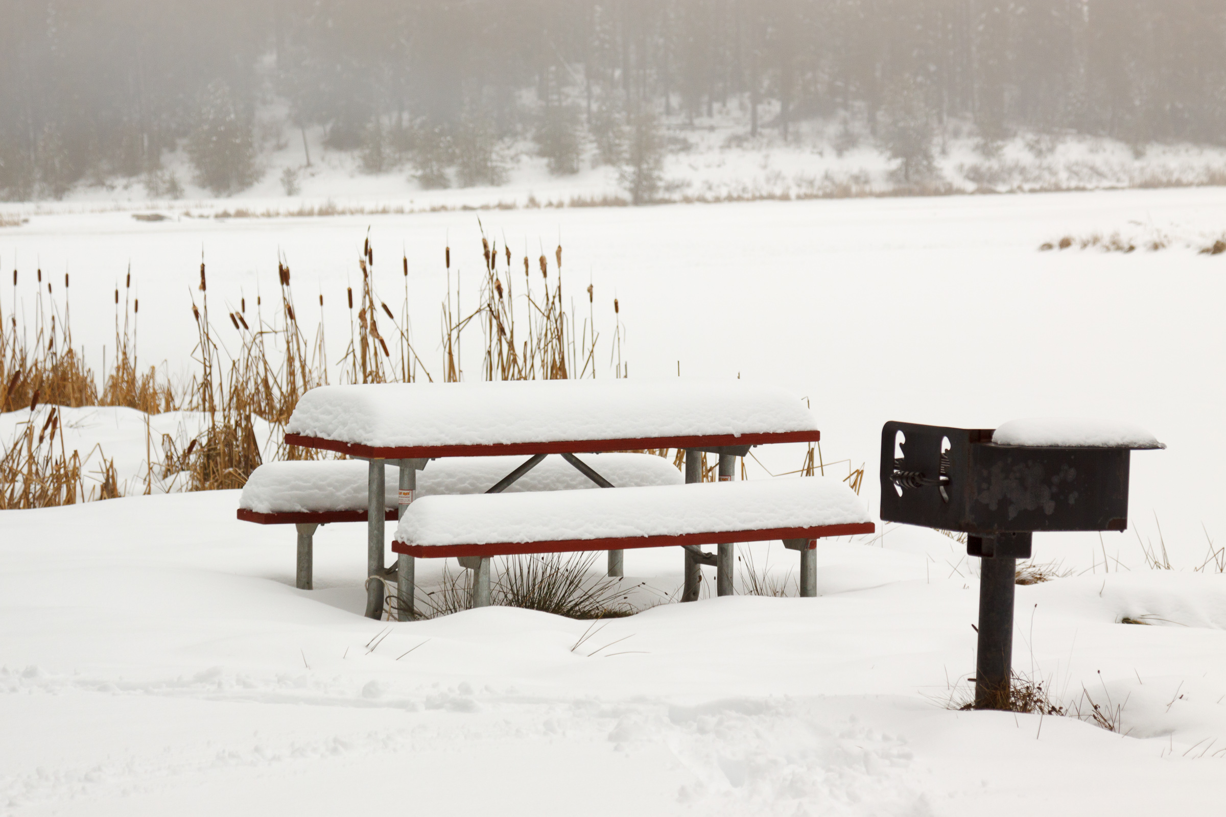
Nevertheless, the snowy forest was beautiful, and my tracks were the first on this trail. Even the snowmobiles hadn’t gone this far in. The idea of getting to the summit of Grandmother Mountain in winter is somehow in reach, aided by the longer days. Still, it’s a 5+ mile, 3000 ft. ascent, so we’ll see. If I can float better on the snow, I may be able to endure the full 10 miles in one day. Otherwise, it may be summer challenge.

Gold Center Creek Grandmother Mountain

Similar Posts

  • |

    View from Mount Rogers

    View from Mount Rogers Originally uploaded by mineral2. Oops! I promised a detailed account of my Mount Rogers extravagansa, but forgot to post about it here. So here it is, almost two months late. Of course, you can visit the photo galleries for photos as they are now up there. But here’s my adventure: Sunday: I left Alabama on Sunday. I said my good byes to everyone, including my 5-foot wild gray ratsnake rescue friend (hehehe), and my partings from Jen. We’re still together for now, but time shall tell if the distance thing works out. So anyway, I headed…

  • |

    Porcupine Mountains, Memorial Day Weekend

    Lake of the Clouds Originally uploaded by Up Nort. This Memorial Day weekend was exactly what I needed. It was a weekend away from civilization getting some good physical exercise and getting in touch with the real world. The Porcupine Mountains are simply amazing. Its Michigan’s largest state park and on a scale of 1-10, I give this park an 11. Parts of the park are covered in old-growth timber including some impressive hemlock stands. Other parts were once mined for iron and are covered in a very healthy secondary growth. Several spots are muddy and wet with marsh marigold…

  • 4th of July

    The celebration of our nation’s independence is a custom dating back all the way to the day the Continental Congress approved and signed the Declaration of Independence. The use of fireworks to celebrate the momentous and historic occasion also dates back to that time. As John Adams wrote to his wife: “The second day of July, 1776, will be the most memorable epoch in the history of America. I am apt to believe that it will be celebrated by succeeding generations as the great anniversary festival. It ought to be commemorated as the day of deliverance, by solemn acts of…

  • |

    Potlatch River

    Potlatch River, originally uploaded by Matthew Singer. There is a Forest Service hiking trail about 3 miles due north of our house, though it’s about 7 miles to drive there. Still, it’s close for those after-work getaways. The trail is a ~5mi. loop along the Potlatch River that takes you along the river and then up to the “rim” of the canyon. The first half mile or so is paved, but it then becomes a regular old trail through the woods. There are interpretive markers along the entire length. I have been down on the trail several times, but yesterday…

  • Duncan Knob

    View on Duncan Knob, originally uploaded by Matthew Singer. I got up early this morning to hike before the heat of the day. I would have liked to have gotten up earlier to be at the summit for that early light, but I enjoyed what I got. I arrived at my trailhead by 8:00 and reached the summit of Duncan Knob a little after 10 and I had the trail and the rocks to myself. I basked in the sunshine and enjoyed the view for almost an hour before heading back. When I got back on the Gap Creek Trail,…

  • Snowshoeing Moose Creek

    Last week, winter returned to the Palouse. We got about six inches of snow in Deary, most of which was still around over the weekend. On Sunday, I joined a group of students and post-docs for a snowshoeing trip to Moose Creek. Although it was a foggy and overcast day, we had a great time. I’m always amazed at how much more snow Moose Creek gets, despite its close proximity to home. I estimate the snow was about a foot deep, which is plenty for snowshoeing. We ended up hiking just under 2 miles in before turning around and heading…