Backpacking … for real
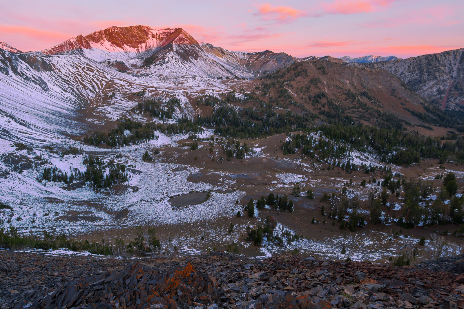
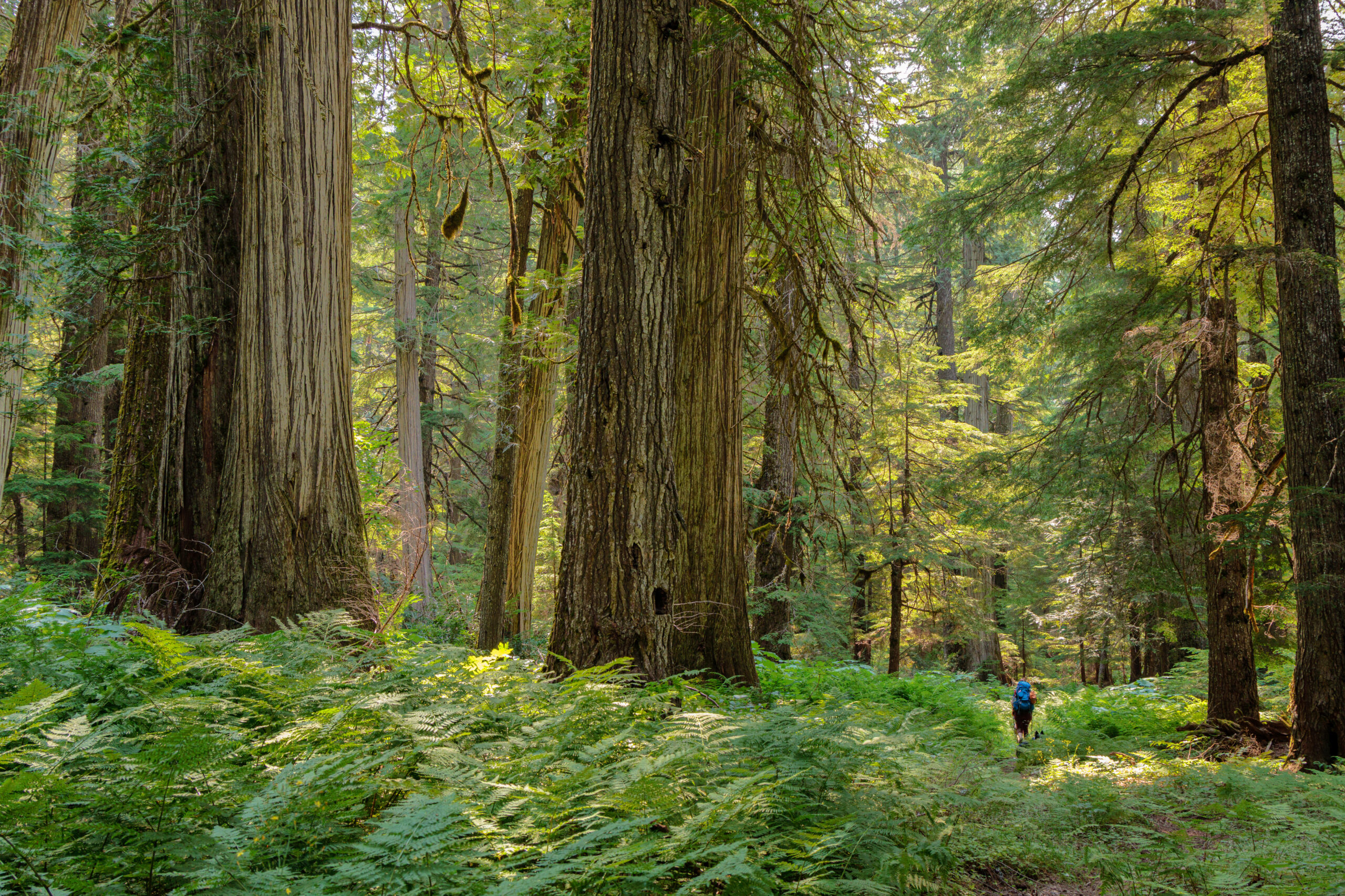
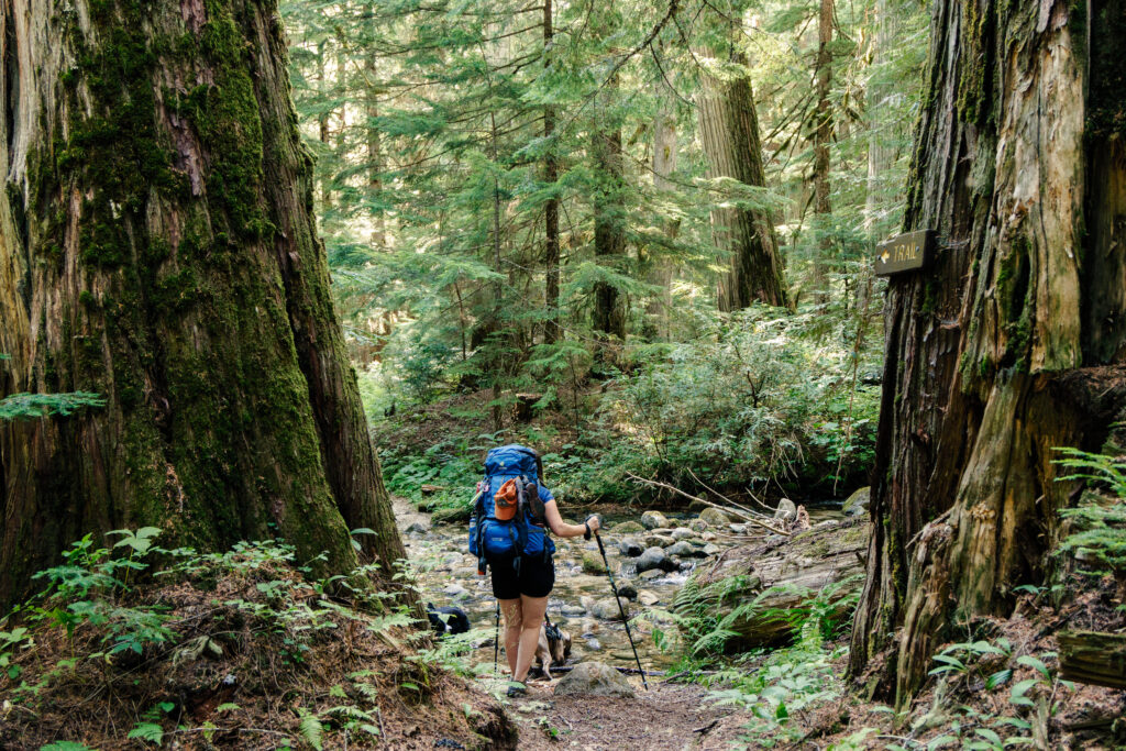
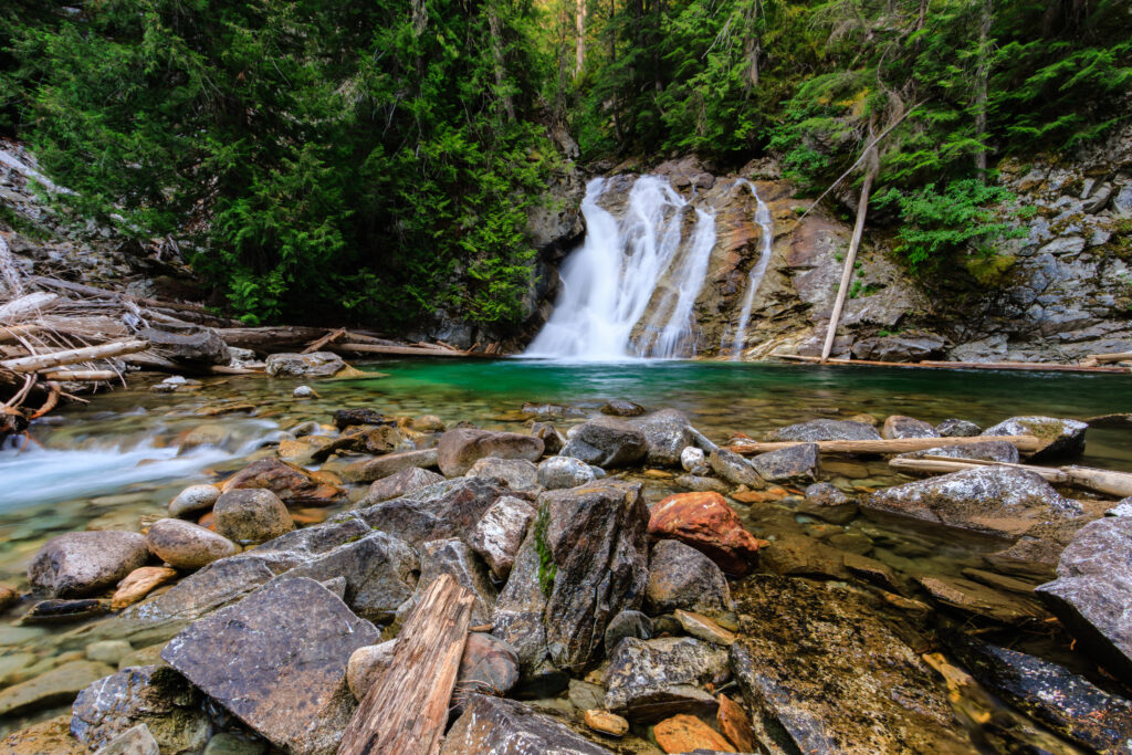
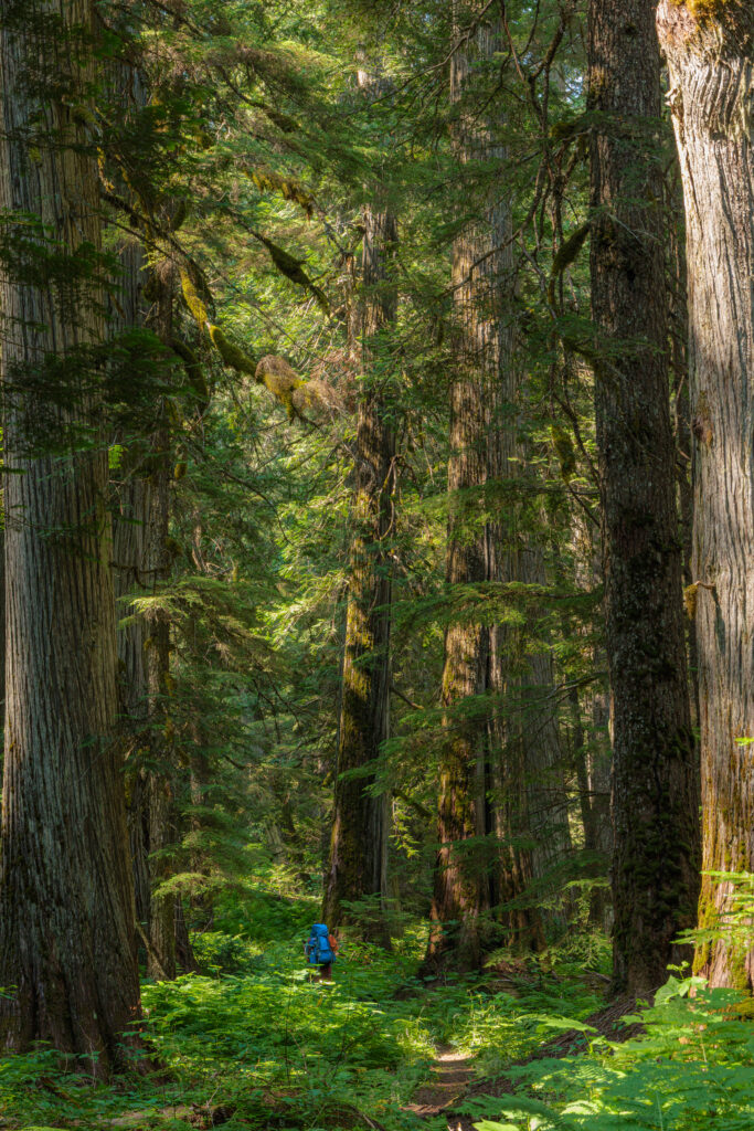
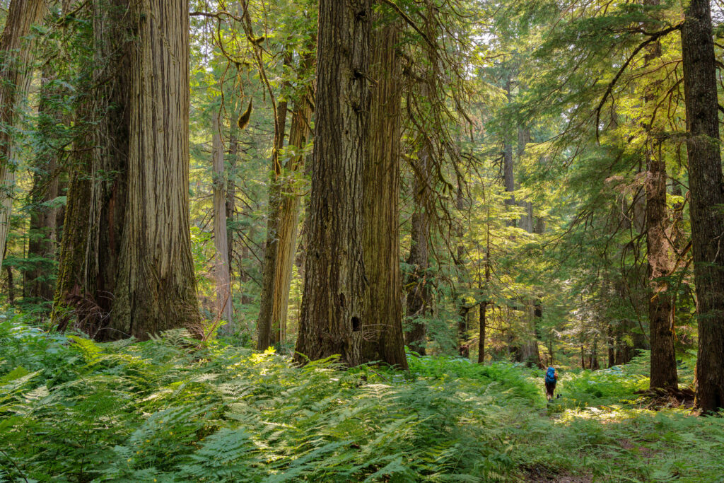
After our jaunt to the fire tower on Shorty Peak, we decided to go out for a more conventional backpacking trip – the kind where we bring everything we need with us, including the shelter. We chose the upper priest river, a relatively mild trail to get us started. This trail goes 8 miles along the upper Priest River through lush old-growth forest, ending at a waterfall just miles from the Canadian border. In many ways, this trip reminded me of backpacking in the eastern US. If you’re looking for grand mountain views and high alpine lakes and meadows, this hike is not for you. Instead you get a hike under the canopy of trees – a true forest walk – and a feeling of seclusion that will keep you from wanting to return home.
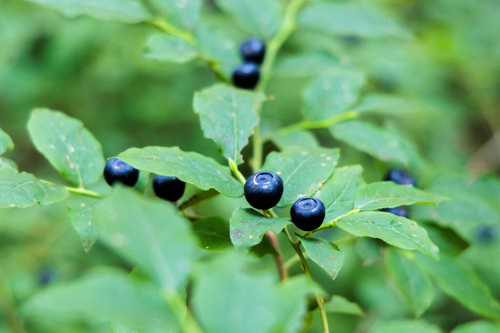
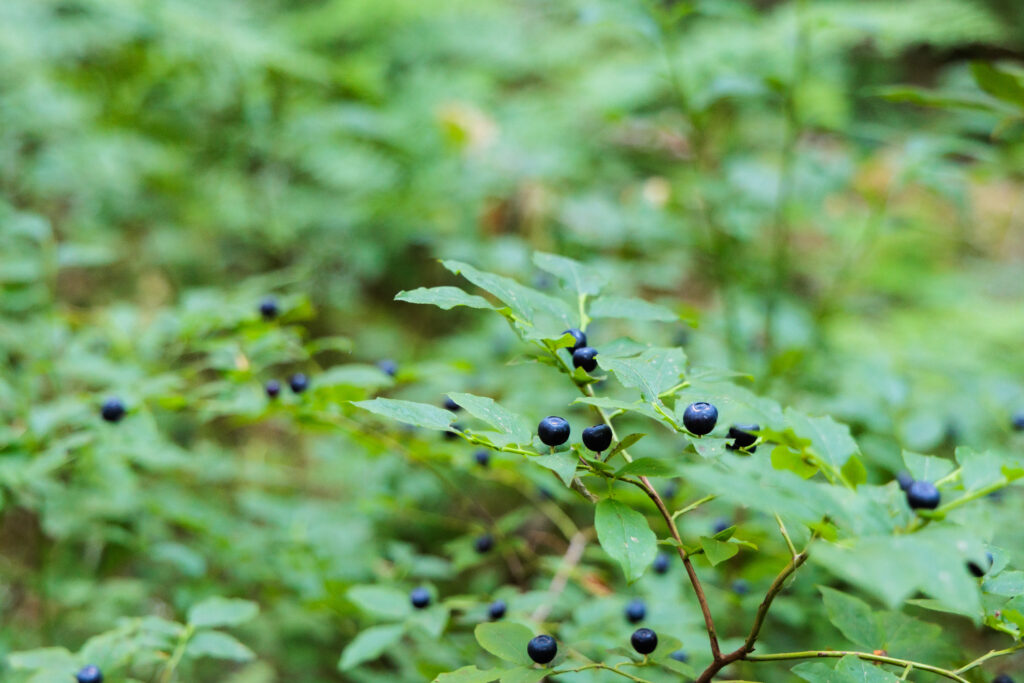
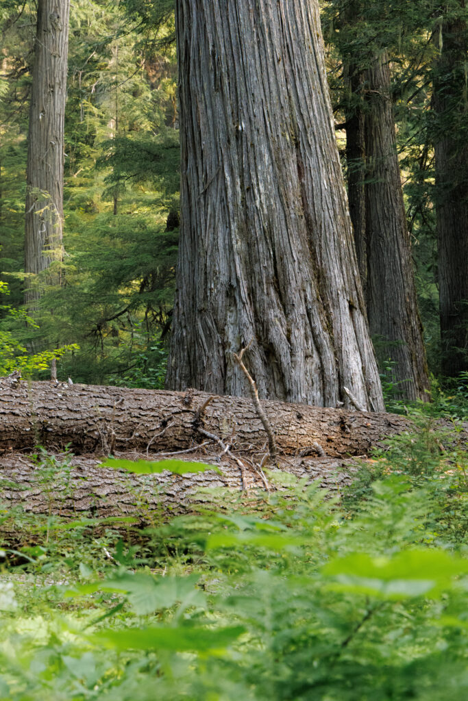
Much of the hike travels through old growth forest with giant cedars, Douglas firs, and western hemlock. It’s a welcome sight for a patch of forest that isn’t protected by the 1964 Wilderness Act. What makes this hike special is that it’s not just a small patch of forest. The majority of the 8-mile hike is in this old-growth habitat, including the camping areas at the end. It truly is a special place. We happened to time this hike with the huckleberries. They were everywhere, and provided a snack along the trail and a delicious addition to breakfast.
There are several places to camp. The first campsite is about 1 mile from the trailhead, and another maybe a mile past that. Then it’s quiet for a while, meandering through the tall trees until eventually the trail reaches Malcom Creek. Here, a shorter trail descends down the mountain and meets up with the Upper Priest River Trail. There is a nice spacious campsite, which is where we decided to stop for the night as the next campsite just over the bridge was taken by another group. About 3/4 of a mile later, the trail ends at Centennial Falls, with another set of campsites.
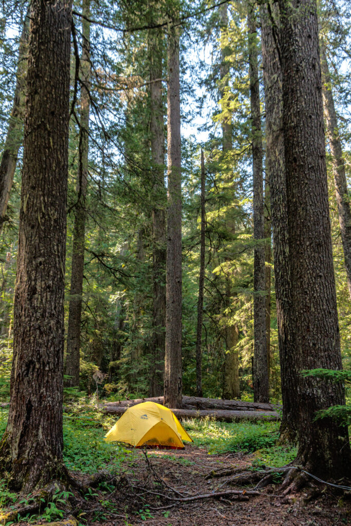
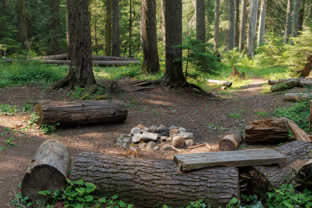
This hike is really a 2-day hike. We decided to stay for 2 nights and spend a whole day relaxing and soaking up the atmosphere in the forest. Sometimes I see backpackers talk about how far and high and hard they hiked. This hike was not about extremes, but just to rejuvenate by disconnecting from the modern world and resetting in nature. This is what made it feel like an east-coast hike. Yes, the Appalachians have high peaks, scenic views, and some tough hikes. But a lot of the hiking is under the canopy of trees, often in gullies along creeks. There, it isn’t always about the grand views but rather getting intimate with the natural world.
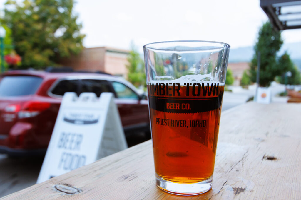
After two nights, it was time to hike back. Eight miles is a long hike when you haven’t hiked that far with a full pack for years. So by the end of the hike, oru legs and feet were hurting. Nevertheless, while we weren’t ready to rejoin the daily grind, we felt ready to tackle the world. As is the tradition with big hikes and backpacking trips, we stopped for a beer and a warm meal. The town of Priest River is home to the Timber Town beer company. The beer and the food was amazing.
Getting to the Upper Priest River Trail is as much of an adventure as the hike itself. Start by traveling ID-57 to Priest Lake, and continue. The pavement ends and the road crosses into Washington for a bit while it climbs over a pass and descends back into the Priest River drainage. Along the way it passes the trailhead for Granite Falls and the Roosevelt Cedar Grove. While there used to be a campground here, it’s now a day-use site, but well worth the stop. The road crosses back into Idaho where eventually there will be a small parking area and trailhead for FS trail 308 on the left. This is also the northern-most section of the Idaho Centennial Trail. For more information on the hike: