Grandmother Mountain

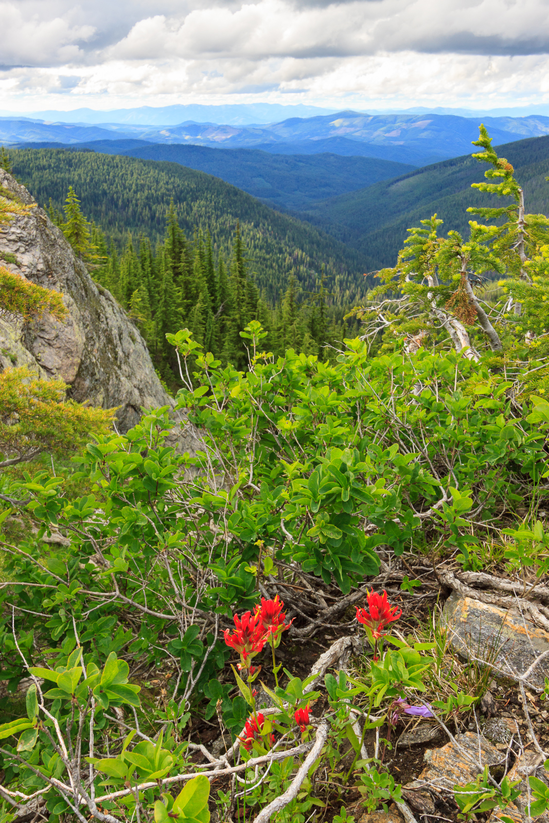
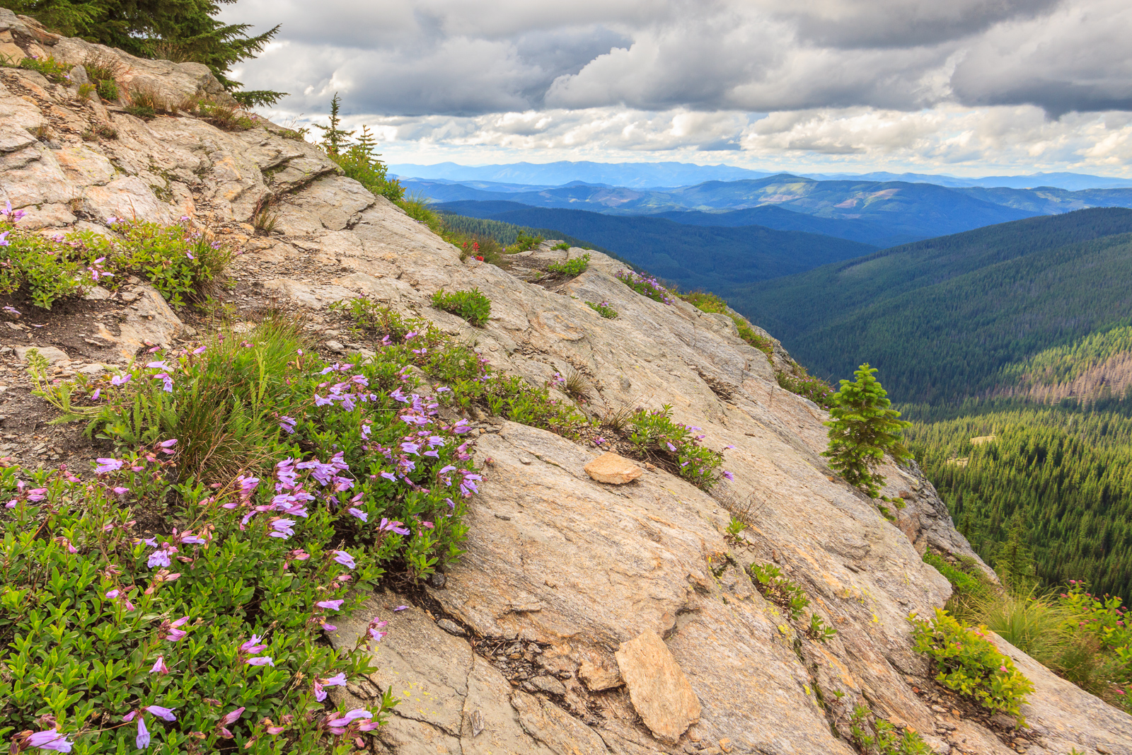
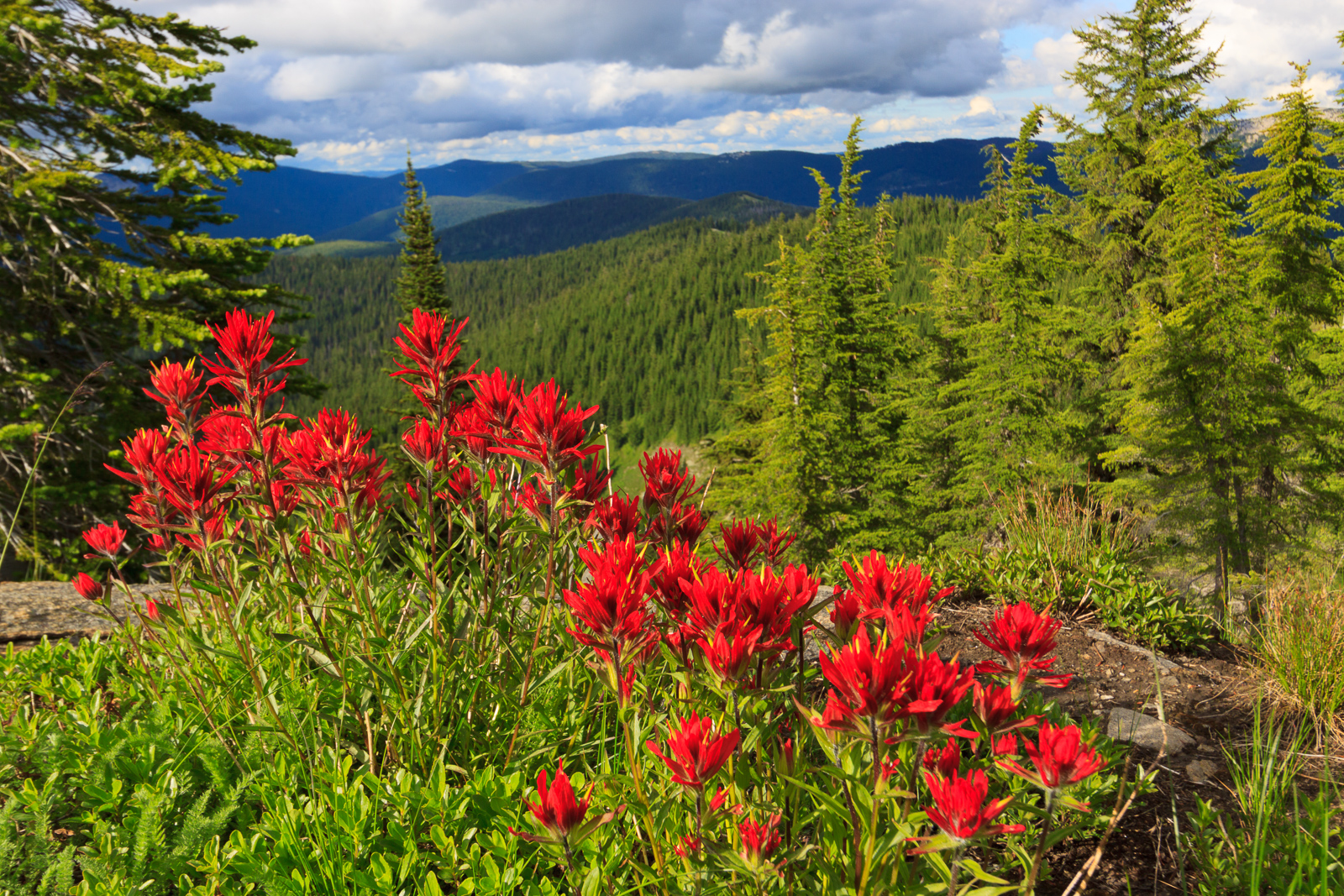
I finally got some time to get up to Freezeout to hike Grandmother Mountain. The flowers are out and it’s quite pretty, though it’s not the best year for flowers that I’ve seen. It could be that I got up there a little late. Everything seems to be coming out a little earlier this year than normal. But then, all of the flowers that are out still seem to be in peak bloom. I was especially hoping for a great beargrass year like I got to see three years ago. But even with the lower abundance of flowers, the ones that were there were quite spectacular. I came across a patch of paintbrush on the summit that must have been the best I’ve ever seen, perfect and unblemished and bright and vivid.
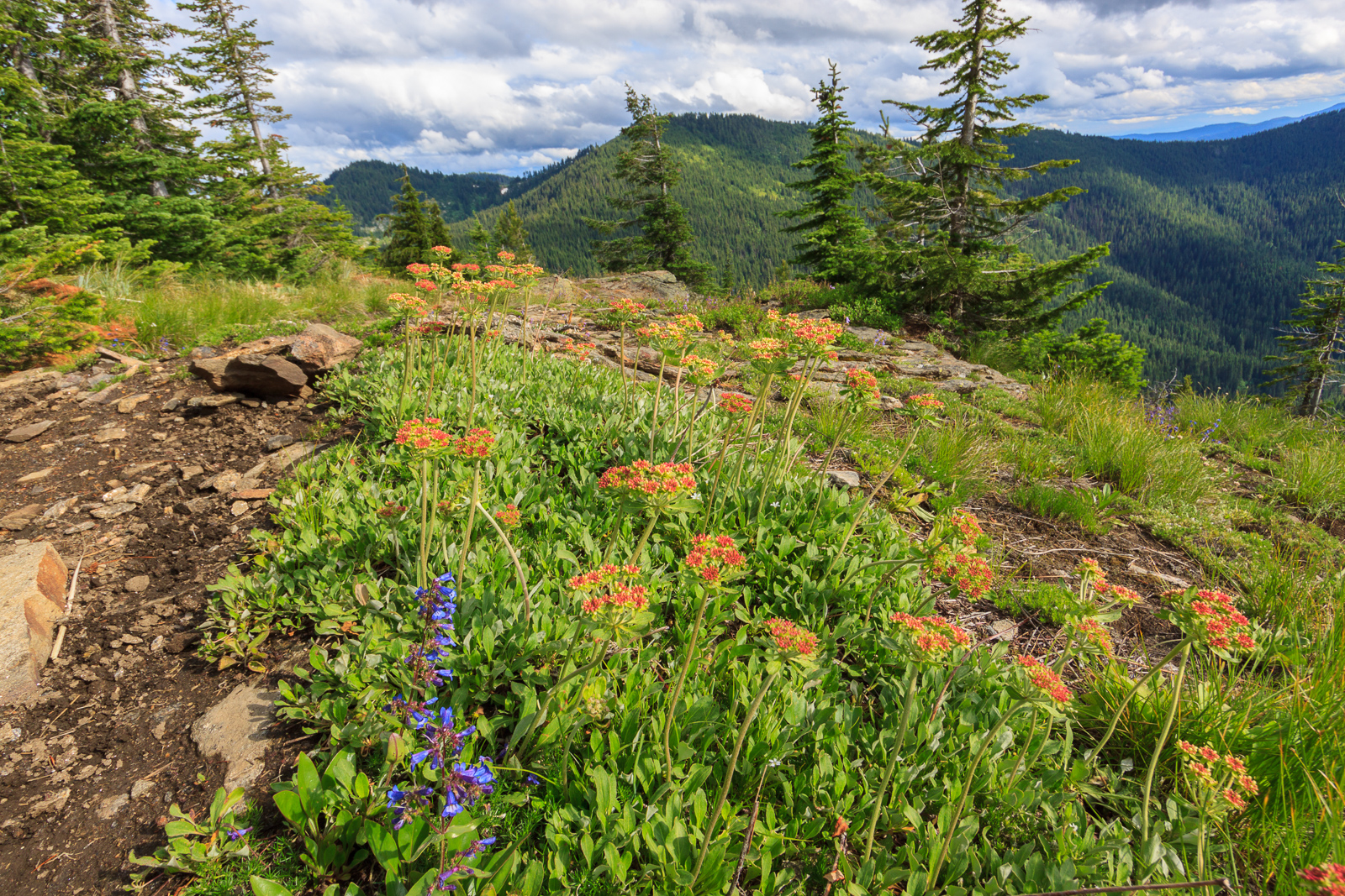
Paintbrush on Grandmother Mountain

It’s been a strange summer. Our heat wave came early and has since left for cooler temperatures and rain. Typically by July, we’ve entered the dry spell. But this past weekend it rained pretty hard, letting up just long enough for a hike on Saturday. Since I’ve been to Grandmother Mountain so many times, I don’t have many new photos to share. So instead, I thought I’d try my hand at a video tour of the hike. So enjoy this hybrid blog-vlog post.


[map style=”width: auto; height:400px; margin:20px 0px 20px 0px; border: 1px solid black;” gpx=”http://www.mineral2.com/wp-content/uploads/Grandmother Mountain 2016-07-09.GPX”]
Similar Posts

  • |

    Swimming Holes

    The Lower Falls on Overall Run, originally uploaded by Matthew Singer. When the weather turns hot and humid, there’s no better way to stay cool than at your local swimming hole. Swimming holes offer something that your pool does not: privacy, seclusion, crisp cold water, and no chemicals. That icy mountain stream gets the old heart moving at first, but feels refreshing when the air temperature passes 90 degrees. At camp, we have two swimming holes. We frequently take kids to one along Jeremy’s Run because we can walk there. Jeremy’s Run is nice. There’s an upper pool with a…

  • Asotin Creek

    It’s funny that only two weeks ago, I was clearing snow from my driveway, and now there’s hardly any sign of winter left on the Palouse. Instead of snow, it rained for nearly a week straight. So when we caught a break in the weather on Saturday, I was quite happy to take advantage and begin my spring hiking season. I chose to go to Asotin Creek. The town of Asotin is located five miles south of Clarkston, Washington. It is here that Asotin Creek empties its water into the Snake River. But the hiking begins about 20 miles upstream…

  • Sand Mountain Trail

    I don’t get out hiking or geocaching often these days. With geocaching, it makes sense. I’ve found nearly all of the geocaches in a close distance to home and town, forcing me to travel farther distances just to make a find. But when it comes to hiking, I have less of an excuse. I don’t live in Moscow. I live near Deary, 25 miles east, which puts me 25 miles closer to the mountains. It puts me at the edge of the mountains, the foothills if you prefer. There are hiking trails all around. The closest is spud hill, from…

  • |

    Old Rag

    Spring!, originally uploaded by Matthew Singer. In April, I briefly lost my camera due to a bent pin in the card slot. I sent it to Canon for repair and got the camera back in a week’s time. Unfortunately, during that time, I had scheduled a hike up Old Rag with Jon, my supervisor at the time. So, after a trip to Fed Ex, I stopped at the camera store and bought a couple rolls of film. I’ve finally had the chance to get the old scanner out of the box and get this set of slides scanned and uploaded….

  • Oregon

    Sunrise, originally uploaded by Matthew Singer. I made my very first appearance in the state of Oregon over the weekend. I’m impressed and hooked. Oregon is a very pretty state, and I didn’t even get to see very much of it. My Oregon experience took me to a little known section in the northeastern corner, the Eagle Cap Wilderness Area in the Wallowa Mountains. I went with two other grad students in the department for an overnight trip to Mirror Lake in the heart of the wilderness area. We left Friday night just as the sun was setting and drove…

  • Elk Butte

    Ever since I first visited Elk River during my interview trip in February 2010, I had a desire to get to the top of Elk Butte. After all, who could resist a lookout tower boasting 3000 foot views? The only problem was finding a suitable way to get up there. While the maps show a road to the summit, descriptions also warn that the summit is not accessible by car. Most people reach the summit by four-wheelers in the summer and snowmobiles in the winter. I had read that it was a 7-mile one-way trip, which ruled out a day…