Hiking Deary


View from Potato Hill, originally uploaded by Matthew Singer.

I’ve now been in Idaho for almost three weeks and I’m starting to get settled into my new home. Later I will post about the property and the abundant wildlife that make our place so special.

But today, I write about a local hiking opportunity just over a mile down the road in the town of Deary. I have a theory that all cities and towns have an overlook, a spot from which you can stand and look down upon the population center. Sometimes these overlooks are only a few feet above the town itself. Sometimes they are man-made structures. But in mountainous and hilly regions, the overlook is most certainly a natural feature seen from the town itself. Of course there are many exceptions to this rule, but I find in most of the places I’ve been that the rule stands strong. In some cases, you can simply drive up to the overlook. In others, you can hike. And in rare circumstances, you have to bushwhack or even tresspass on private property to get there.

Deary is no exception to the rule. Just behind the town to the north stands a hill a thousand feet above with a break in the trees and some cliffs on the summit. When I first drove through Deary in February, I wondered if the land was public property and if there was a way to the top. I now revel in the fact that the answer to both questions is “yes.”

The trail up Potato Hill is designated a restricted use road available for all modes of transportation except automobile. So I was expecting to pass a few people on ATV’s or even horseback, but during my hike today, I passed only one person, and he was hiking with his dog just like I was.

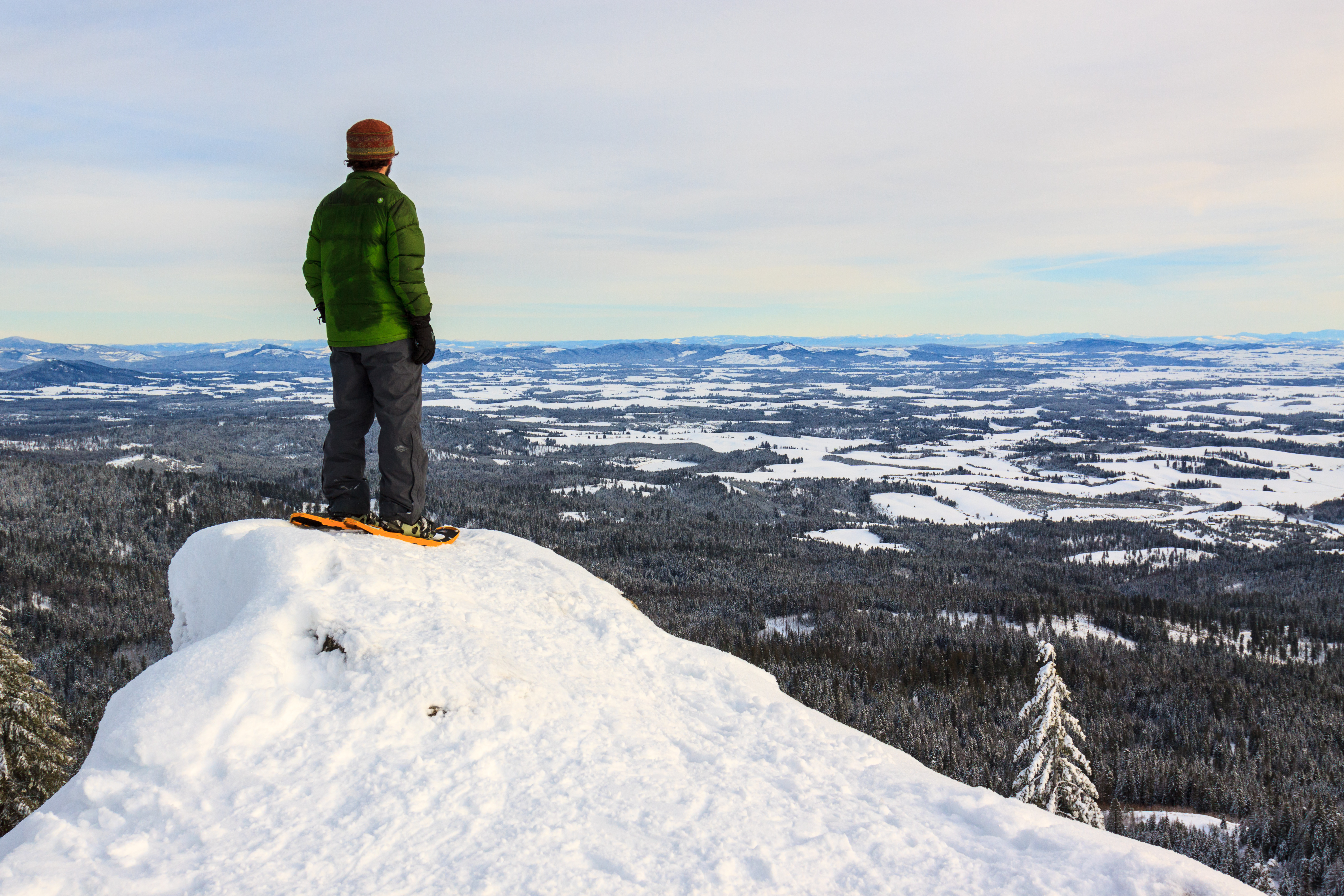
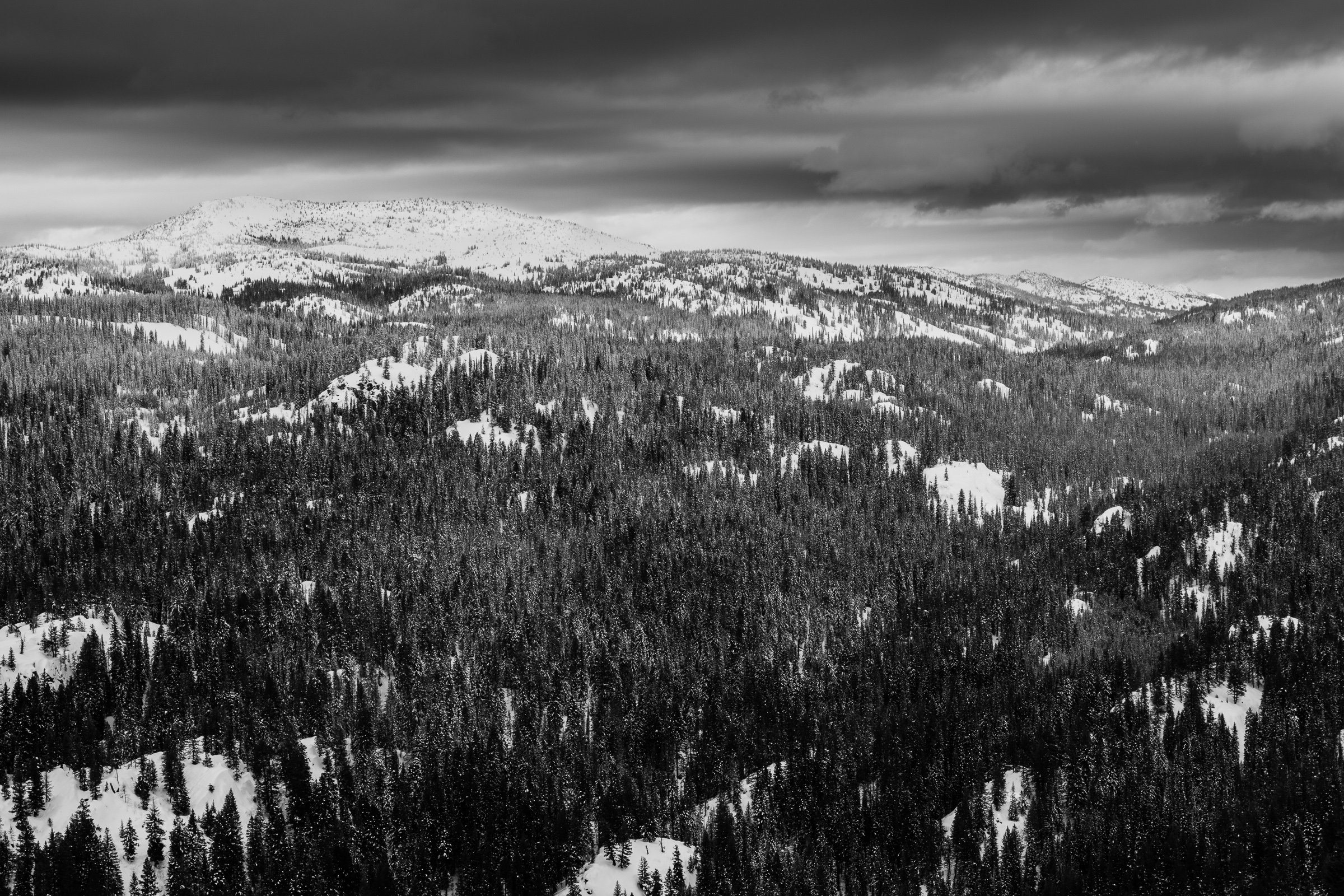
It’s two miles and about 1200 vertical feet from the town center in Deary. About half way up, the road ends at a communication tower and the trail becomes, well, more trail-like. In fact, there was hardly any signs of recent ATV use, so I suppose most people hike to the summit if many people go up there at all. The trail winds through an mix of open forest and grassy meadow and has a great prospect for wildlife sightings. As you increase in elevation, the slope becomes steeper and the forest becomes denser, when suddenly the forest breaks altogether and a series of cliffs open up a view over the Palouse. The hike is pretty mellow until the last jaunt to the summit where the trail turns straight up and becomes populated with loose rock.

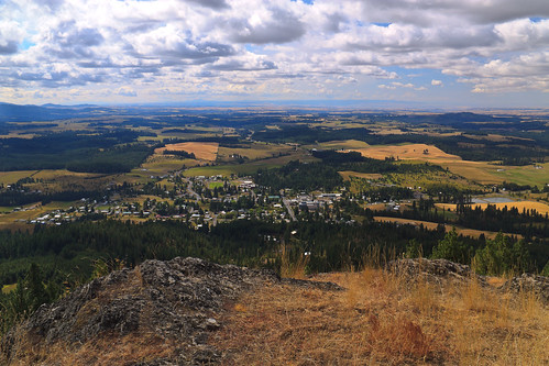
Nevertheless, the view from the summit is exquisite. The town of Deary, population 500-something, lies just below to the South. Beyond is the mix of forest and field of the eastern Palouse. To the West, you gaze upon Moscow Mountain and watch as the Palouse suddenly ends with a series of canyons off in the distance. Below, but out of sight, is the Clearwater River and the city of Lewiston. To the east, mountains rise and get bigger with each layer.

This is a short hike, easily achieved in less than half a day, but nice to have so close to home. And yes, there are bigger mountains with taller views, those will be explored in due time. But this looks to be my go-to hike when I’m too busy to go farther afield.

Similar Posts

  • Snowshoeing Moose Creek

    Last week, winter returned to the Palouse. We got about six inches of snow in Deary, most of which was still around over the weekend. On Sunday, I joined a group of students and post-docs for a snowshoeing trip to Moose Creek. Although it was a foggy and overcast day, we had a great time. I’m always amazed at how much more snow Moose Creek gets, despite its close proximity to home. I estimate the snow was about a foot deep, which is plenty for snowshoeing. We ended up hiking just under 2 miles in before turning around and heading…

  • Asotin Creek… sort of.

    The photo above was taken in February of 2010, my first visit to Asotin Creek. I’ve been back a couple of times as it is usually a reliable winter hike that is free of snow. I had never gone down in the spring when everything is green, and certainly not in the summer when temperatures can reach the 100 degree mark. So it was that Erin and I decided to spend a day down at Asotin Creek. The local wildflowers should be in bloom, and the hills might show hints of colors other than the drab brown of dried grass….

  • Snowshoeing: Spud Hill

    This snowshoeing thing is taking off, and if I keep this up, I’ll be in shape enough to not suck at hiking at the beginning of the hiking season. This week’s adventure brings us up Spud Hill, also known by some as Mount Deary. Spud Hill was my first Idaho summit, and it’s a great little local hike that I often overlook. But I’ve always wanted to hike it in the winter, and today, Spud Hill became my first winter Idaho summit. The one difference between snowshoeing and hiking, aside from the snow on the ground, is that distances seem…

  • |

    Potlatch River

    Potlatch River, originally uploaded by Matthew Singer. There is a Forest Service hiking trail about 3 miles due north of our house, though it’s about 7 miles to drive there. Still, it’s close for those after-work getaways. The trail is a ~5mi. loop along the Potlatch River that takes you along the river and then up to the “rim” of the canyon. The first half mile or so is paved, but it then becomes a regular old trail through the woods. There are interpretive markers along the entire length. I have been down on the trail several times, but yesterday…

  • |

    Small hikes near Moscow

    The end of the semester is a busy time, and that often means foregoing larger adventures for some smaller ones closer to home. In the last week, I’ve been trying to keep active and take advantage of the local trails. One of these trails is the Headwaters trail on the western end of Moscow Mountain. In my five years here, I’ve never hiked this trail despite its close proximity and popularity among hikers, runners, and mountain bikers. Yet when all of my friends say they were on Moscow Mountain, they almost always mean the Headwaters trail. Headwaters is a 5…

  • Labor Day Weekend: Backpacking the Seven Devils

    This is the story of how Dan Beck and I ended up spending much of our Labor Day weekend in the backcountry of one of Idaho’s most scenic and rugged mountain ranges, the Seven Devils. It begins over a week before when I sent out a message for a backpacking trip over Labor Day weekend. I suggested a 3-night trip into the Eagle Cap Wilderness with an emphasis on summiting peaks rather than counting long miles. I had some interest and was all set for our 3rd annual Wallowas weekend, when some of the members decided it would be a…