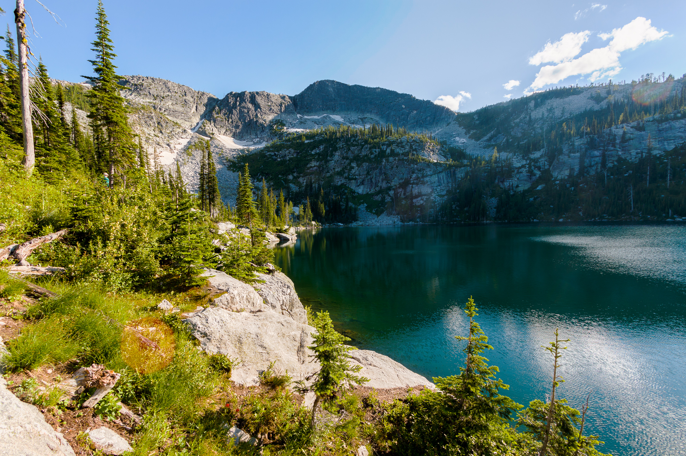
Roman Nose Lakes
Last year, I tried to take my family up to Harrison Lake to enjoy a true alpine zone. When we got close, we saw that the lake had been closed due to problematic bear activity. I would have still been ok hiking up there, but my parents were wary, so we came up with an alternative: Roman Nose. There used to be a road connecting the Pack River to Roman Nose lakes on the other side of the ridge. That road is no longer passable except by ATV or mountain bike. We found that out the hard way. On the bright side, we ended up discovering a great patch of huckleberries and came home with almost a full gallon of them.
This year, I wanted to make up for last year’s shortcomings and head straight for the Roman Nose Lakes. Besides, Erin is not yet ready for the level of difficulty of the Harrison Lake hike. But Roman Nose is an easy hike at just under 3-miles round trip to one lake and not much elevation gain. The plan was to leave early and get to the trailhead before noon. We’d hike out to the upper lake where Erin and Clara and my parents would hang out for a while, and I would continue up to the summit of Roman Nose for some sweet panoramic vistas. Then we’d stop and pick more huckleberries on the way down and end the day with a nice dinner in Sandpoint.
Of course, nothing ever goes according to plan. Here’s what really happened. We left the house after 9:00, which would have put us at the lakes around noon. But along the way, Clara needed to be fed. Actually, Clara was sleeping just fine in her carseat, but Erin needed to feed her to feel comfortable. So we stopped at the Coeur d’Alene Casino for about an hour while she nursed. We got back on the road and made it smoothly into Sandpoint and continued north to the road accessing the lakes.
Now, if you look at Google Maps as well as the maps on a Garmin GPS, there appears to be three roads that lead up to the lakes. One of these is the correct route. My GPS chose one of the alternates, which if maintained would be the shortest and fastest choice. However, about 3 miles before the routes converged near the destination, that road becomes washed out to the point where I’d be wary of even bringing a heavy duty SUV. So, we got close, but had to turn around and backtrack, during which we had to stop again to nurse and change a diaper. Luckily there was a geocache hidden by a stream crossing, so we stopped there for a while. I pulled out the hiking guide book and sought out the recommended directions up to the lake. Of course, I didn’t quite read them correctly and thought that the road we wanted was just at the base of the road we were currently on. As we started up that road, I found the correct road on the GPS, so we turned around again and headed for the right road.
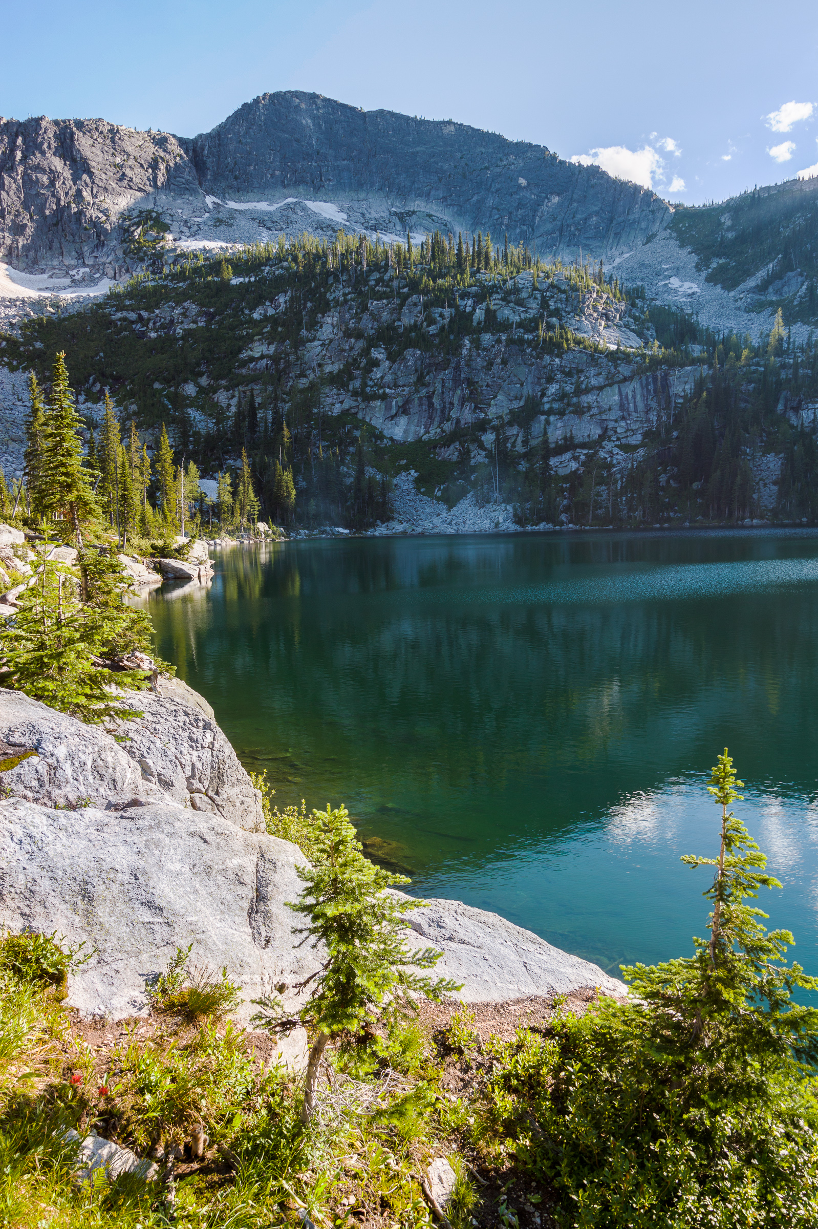
Of the three routes up the mountain, the correct one is the longest and furthest away. But otherwise, it’s a well-maintained and relatively smooth road, at least compared to the unmaintained roads. But then, Roman Nose Lakes is a highly used area, so I was expecting the access to be easy. We finally made it up to the parking area by 4:00 pm. At this point in the day, I wasn’t going to be making any runs for the summit, and I had to make a convincing point to even hike out to the upper lake. But we did, and it was awesome. Erin made it with no problems and Clara enjoyed her first hike. With all of the stops for feedings and diaper changes, we made it back to the car by 7:30 and made it back into Sandpoint too late to dine at our preferred restaurant. And, we didn’t get to collect any huckleberries.
Despite our misadventures, the Idaho Selkirks are awesome mountains, and I do regret not having spent more time up there in the past four years. I look at these last two trips as learning experiences. I now know how to get to my destinations, and traveling that long of a distance with an infant will require an overnight stay if we are to get anything accomplished. In the mean time, I really want to go back and stand on top of Roman Nose and hike to Harrison Lake and perhaps also stand atop Harrison Peak. I want to backpack in to some of the other lakes where the hikes are too long for just a day. And perhaps maybe I can get back up there without Erin and the baby and accomplish one of those goals before winter hits this year.
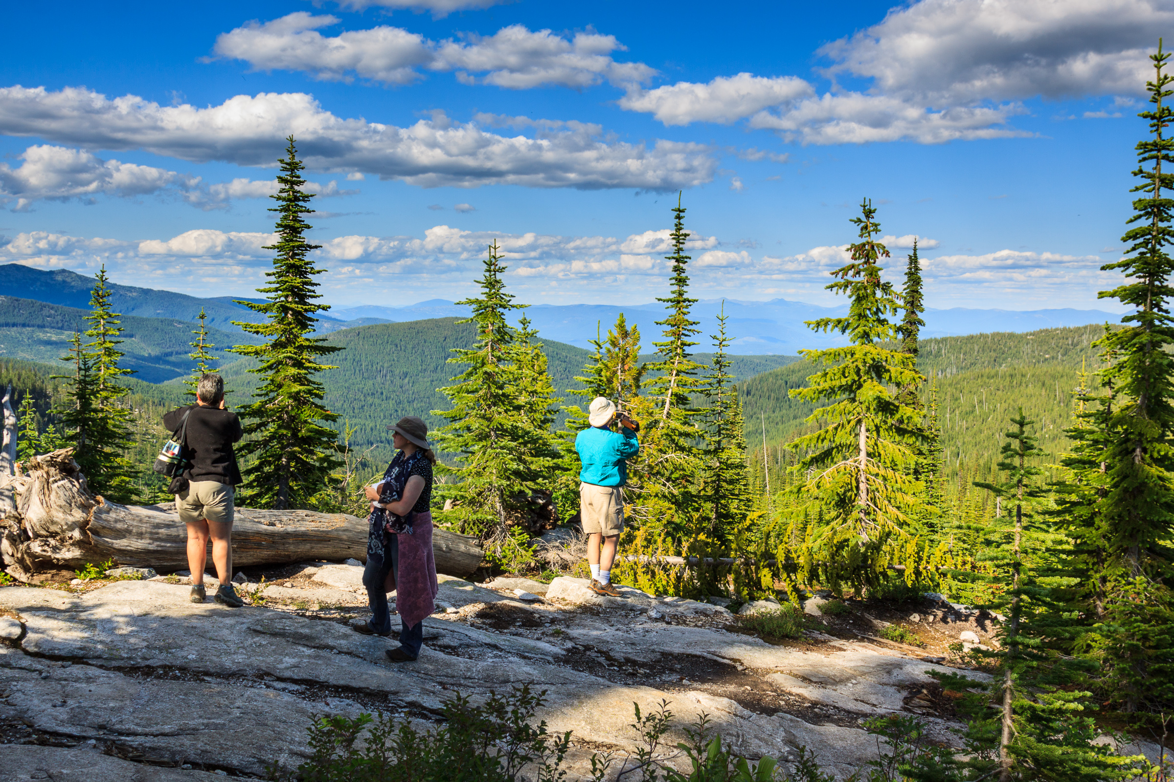
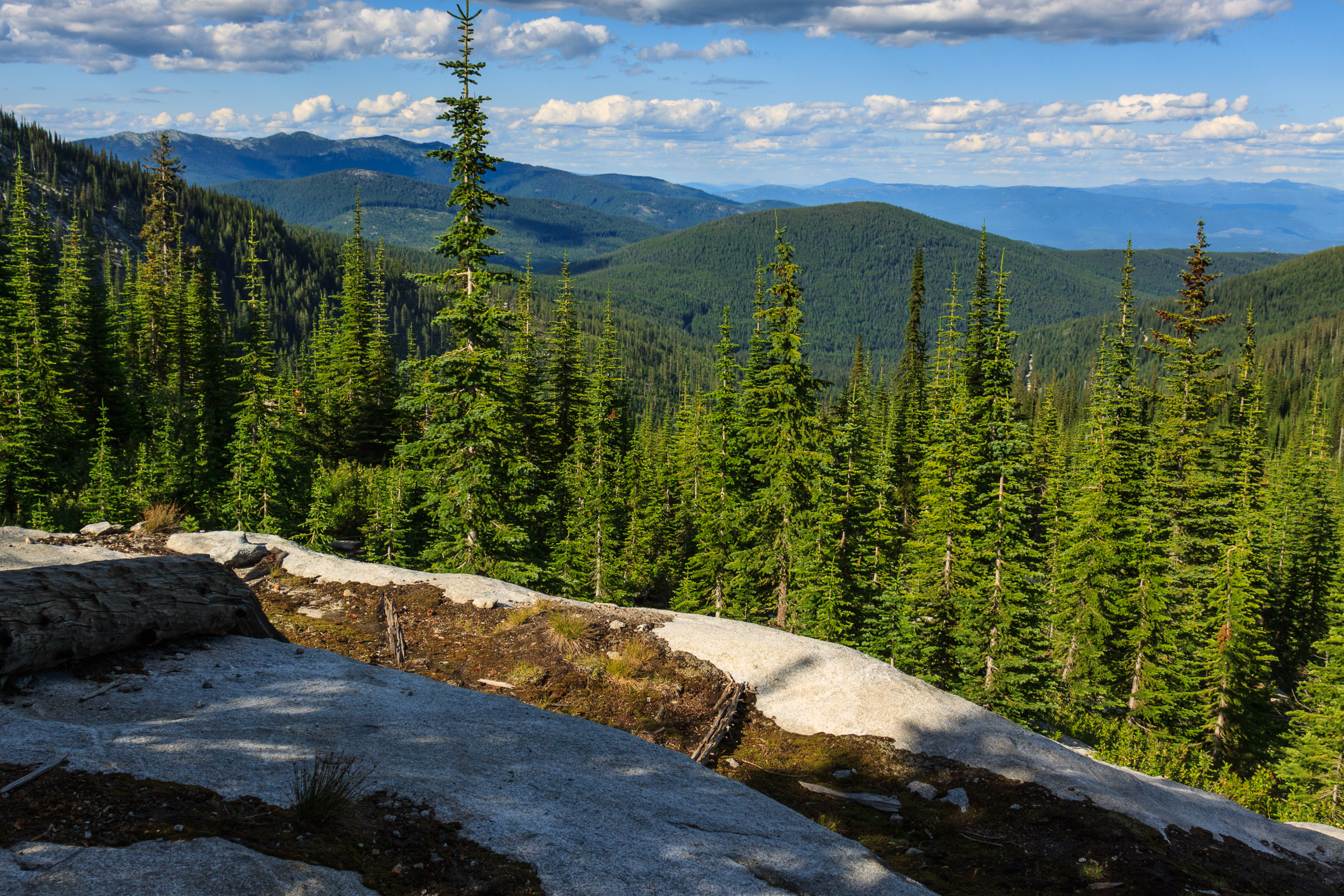
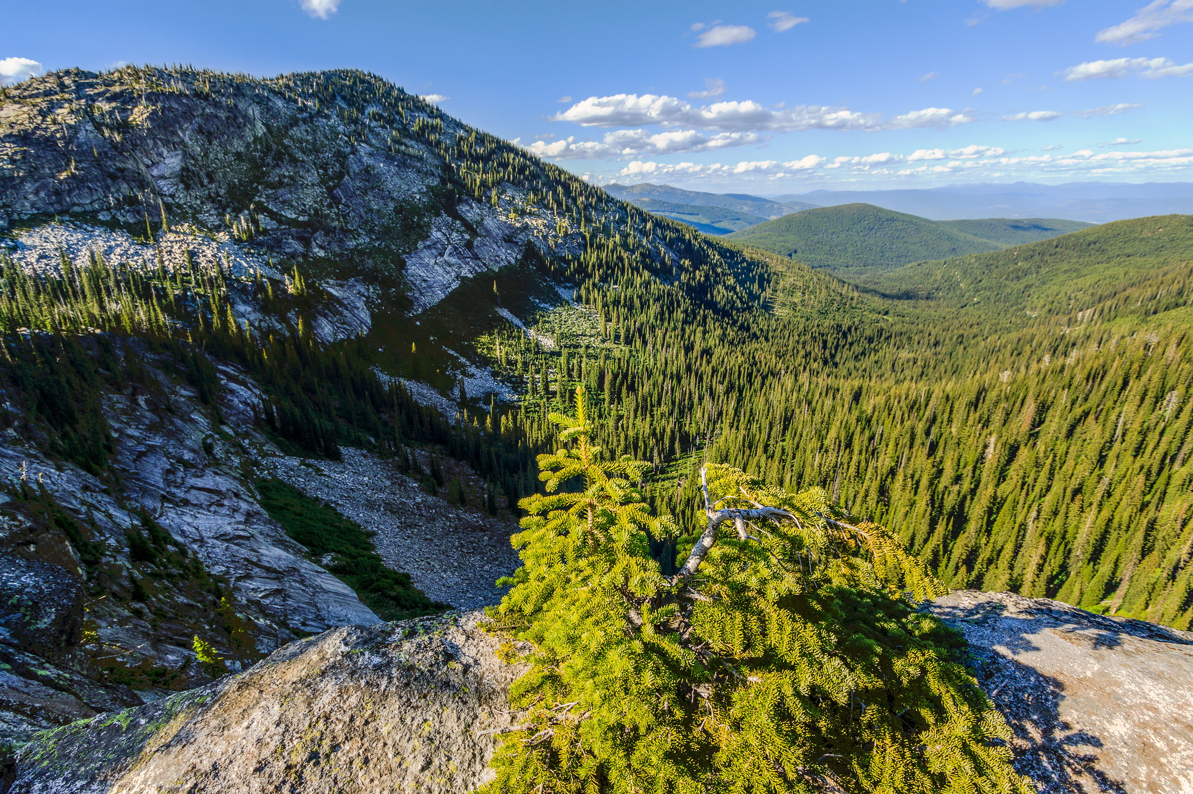
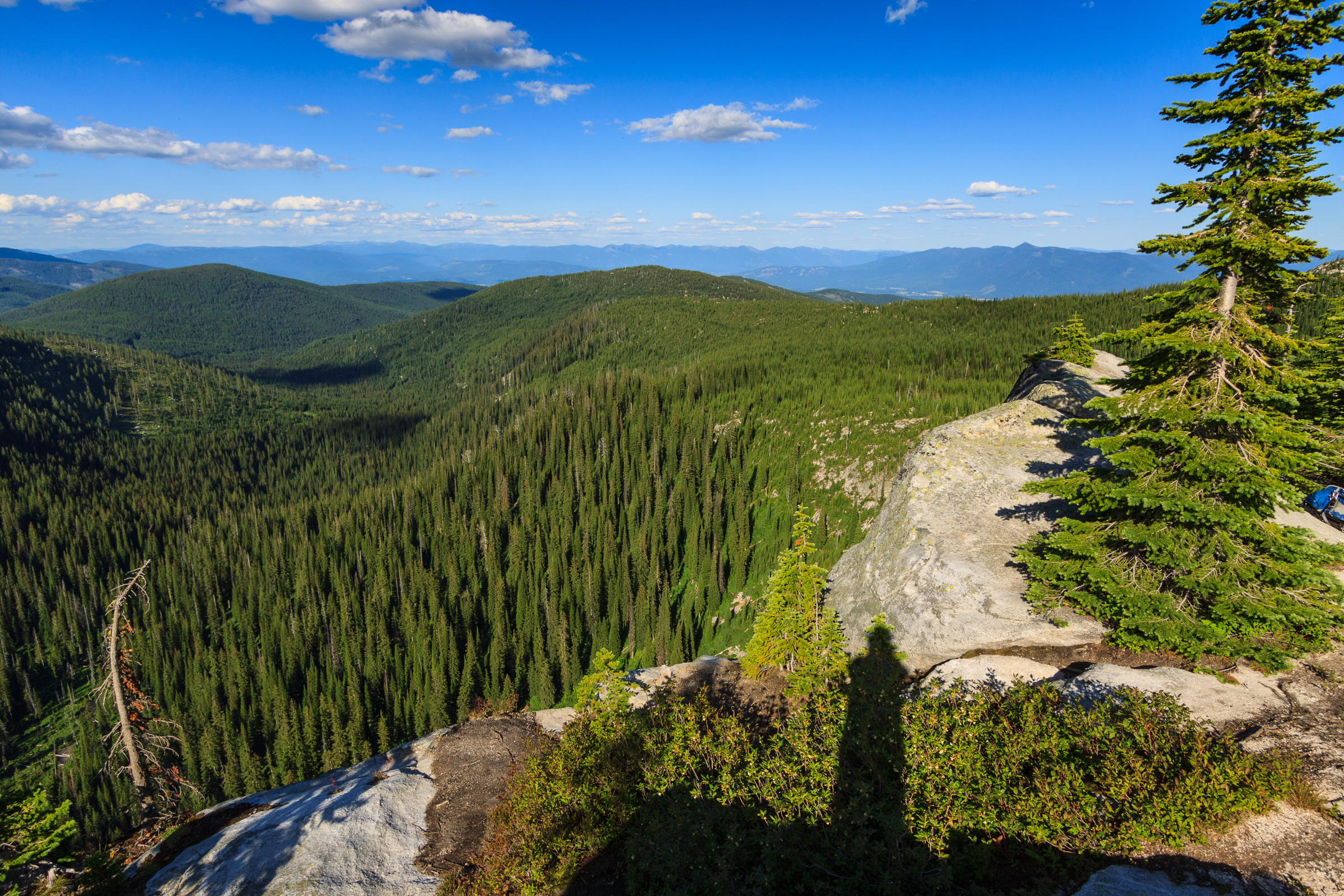
FYI: The correct direction to Roman Nose Lakes is to take Snow Creek Road. Even Google Maps wants to route up Ruby Creek Road, but this is impassible without an ATV.
[map style=”width: auto; height:400px; margin:20px 0px 20px 0px; border: 1px solid black;” gpx=”http://www.mineral2.com/wp-content/uploads/Roman Nose Lakes Hike.GPX”]