Scenic Drives and Cemeteries
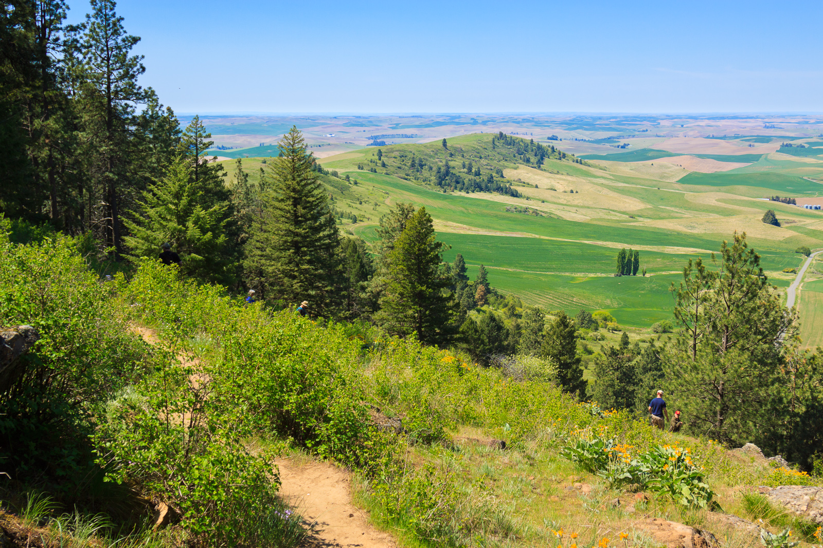
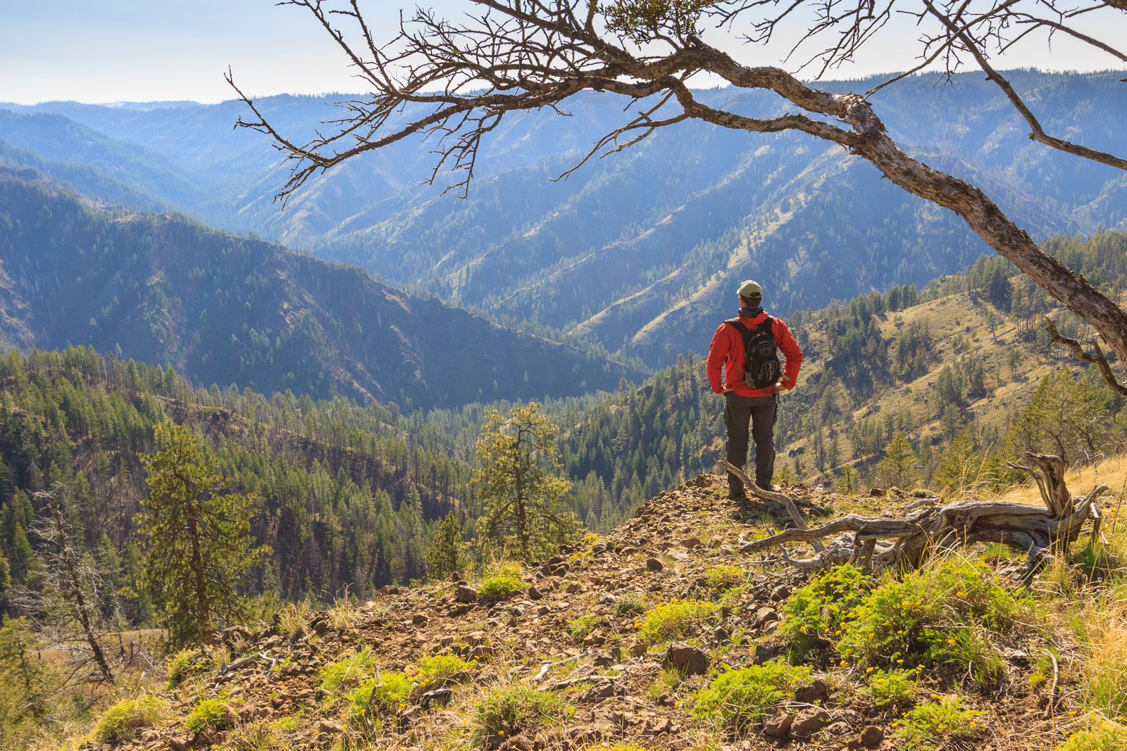
I really enjoy the small historic cemeteries that dot the Palouse. They’re tucked away on obscure roads or in the middle of farm fields in places where you wouldn’t think to go. They’re incredibly peaceful and scenic and full of local history. So, I decided to visit a few local to my house along one of my favorite drives (See the map above). This loop takes you into some remote corners of the Palouse region with some awesome scenery. If you have a free day with some nice weather, consider this for your day out.
Texas Ridge Road

The first part of this drive takes off from Deary down ID-3 and turns onto Texas Ridge Road. If you want to leave the main road even earlier, consider turning onto Drury Road instead. It will meet up with Texas Ridge Road. These gravel roads take you through the rolling farmland along Texas Ridge. You’ll pass the Elwood Cemetery followed by an old one-room school house that’s still standing. The road then winds its way to the rim of Potlatch Canyon where you soon realize just how high up you actually are before descending down into the canyon and meeting up with Cedar Ridge Road near Kendrick.

Cedar Ridge
If you head right, you’ll end up in Kendrick, a small and once prosperous town at the bottom of the canyon. That way leads to some great scenic driving options as well, but for this loop, we’ll head left on Cedar Ridge Road. You’ll start by winding along the Potlatch River. This time of year, the water level is up and you might spot kayakers playing in the rapids. By the end of summer, the water level drops so low that fishing this stream becomes difficult. After a few miles on the river, the road ascends the canyon and you find yourself on the opposite rim from where you started.

Cedar Ridge Road actually branches off to the right once you reach the top, but you’ll want to stay on the paved road, which becomes Linden Road. To get to Gold Hill Cemetery, take an immediate left onto Parsley Road. You’ll see the cemetery on the hill with Moscow Mountain behind it in the distance.

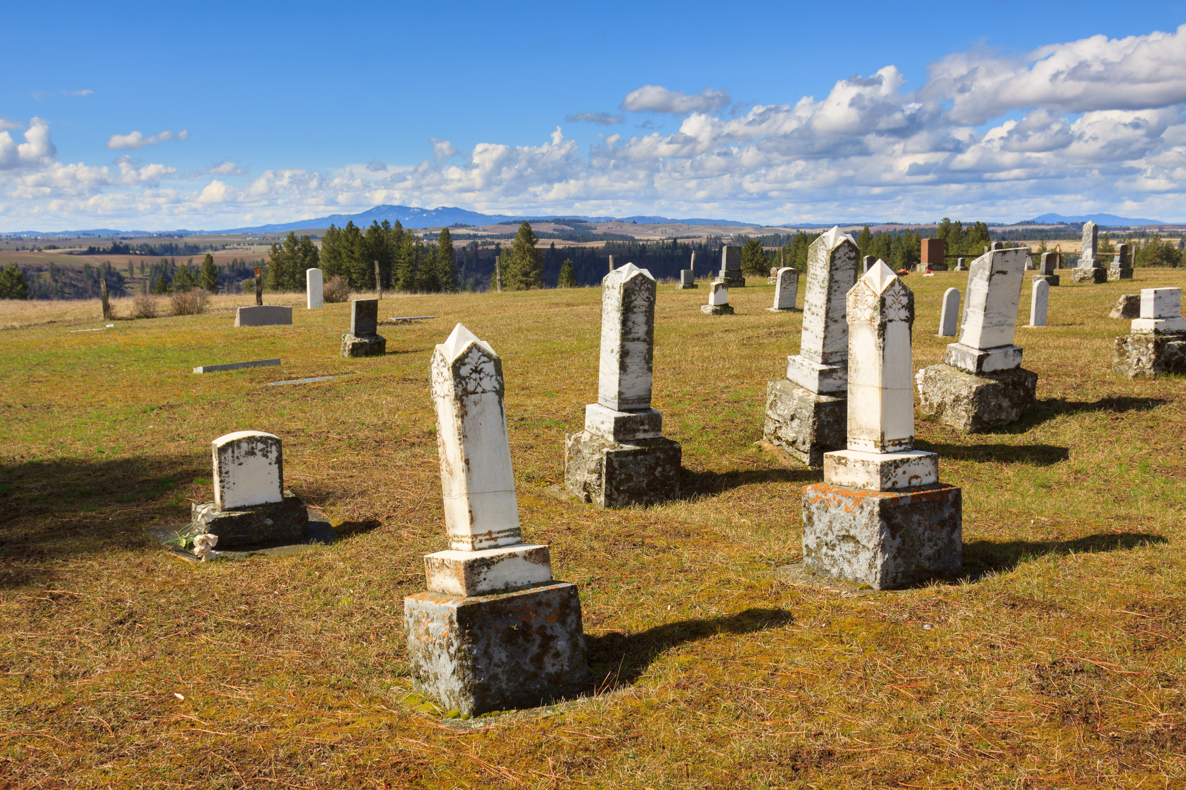
The cemetery is incredibly beautiful. From the hill top, you can view the landscape in almost every direction. Peer down into the canyon from where you came, gaze across at Texas Ridge and beyond to the Idaho Palouse. Look upon Moscow Mountain, Spud Hill in Deary, and countless other peaks that make up the foothills of the Clearwater Mountains.
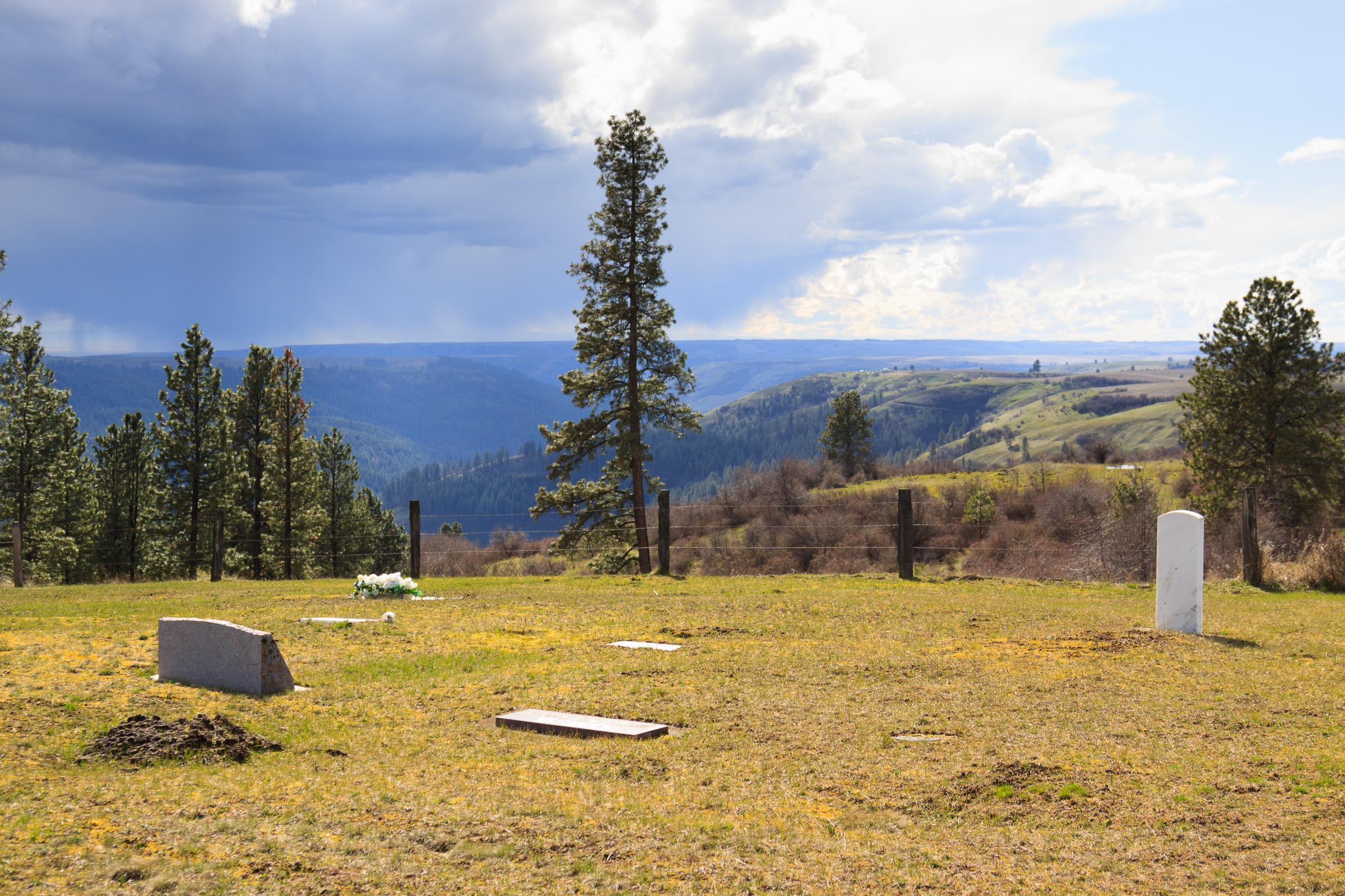
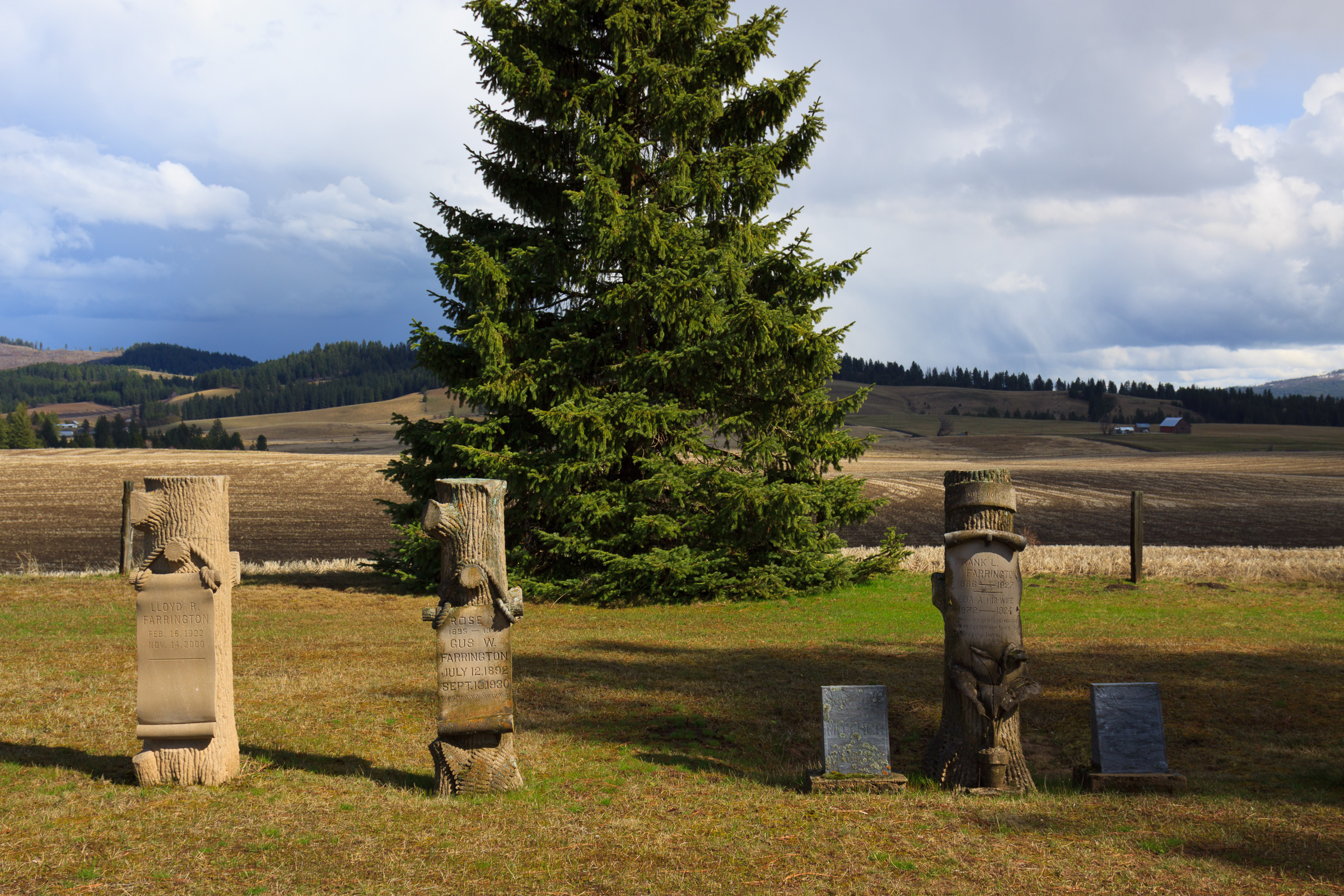
The rural cemeteries give an insight into life when this was still considered the frontier. Life in the late 19th and early 20th centuries was difficult. Most of the markers from this time are from people under the age of 50. Many are small children. But as hard as life was, people stayed. Many of the same families still live nearby and continue to use the cemetery as resting places of their recently deceased. The oldest stone in this cemetery dates to 1889. The most recent is from last year.

Park Road
Continue north on Linden Road and you’ll ascend the end of a mountain ridge, then drop into Boulder Creek, and rise up on the next piece of flat ground. This valley is tucked between two mountain ridges and isolated from the Palouse by the deep Potlatch Canyon. Here you’ll find the Park Cemetery, another old community burial ground with scenic surroundings. Park road continues to the Potlatch River canyon where it meets up with the Little Boulder Creek campground and the five-mile hiking loop that I often walk. This is a good place to stretch your legs and wade in the river on a hot day. The campground also has a day use picnic area.
From here, your drive is almost over. Park road ends at ID-3 at Helmer. There’s not much to Helmer, but the cafe and country store is pretty well-known for its burgers. Stop in for lunch or dinner, but bring cash. They don’t accept credit cards. From here, you’re only 3 miles from Deary, where we started.
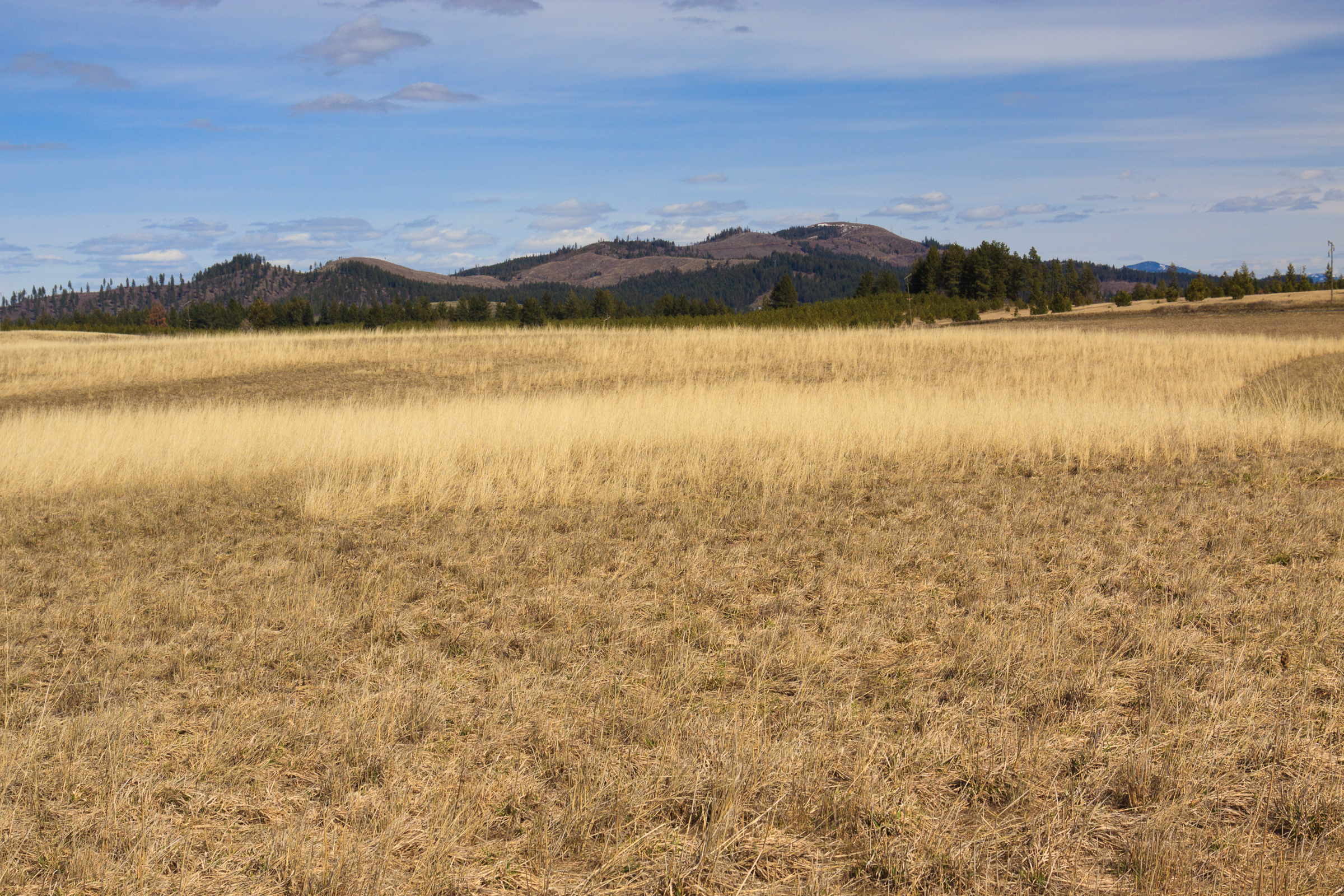
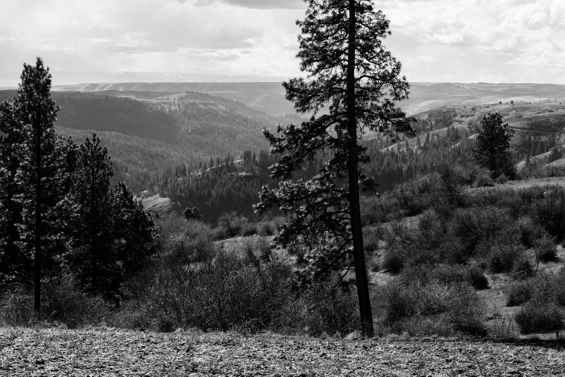
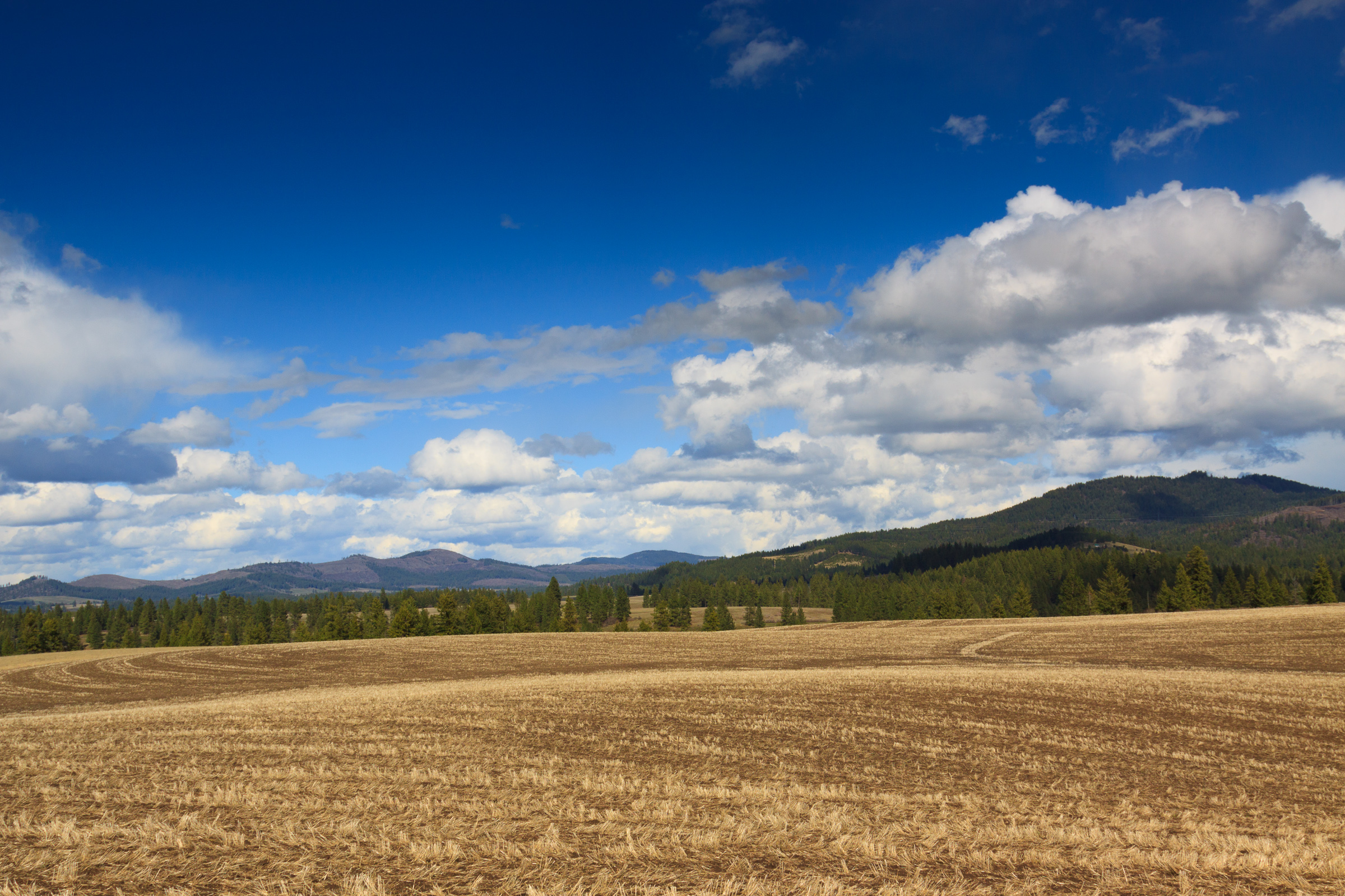
Here are some more images from this drive:

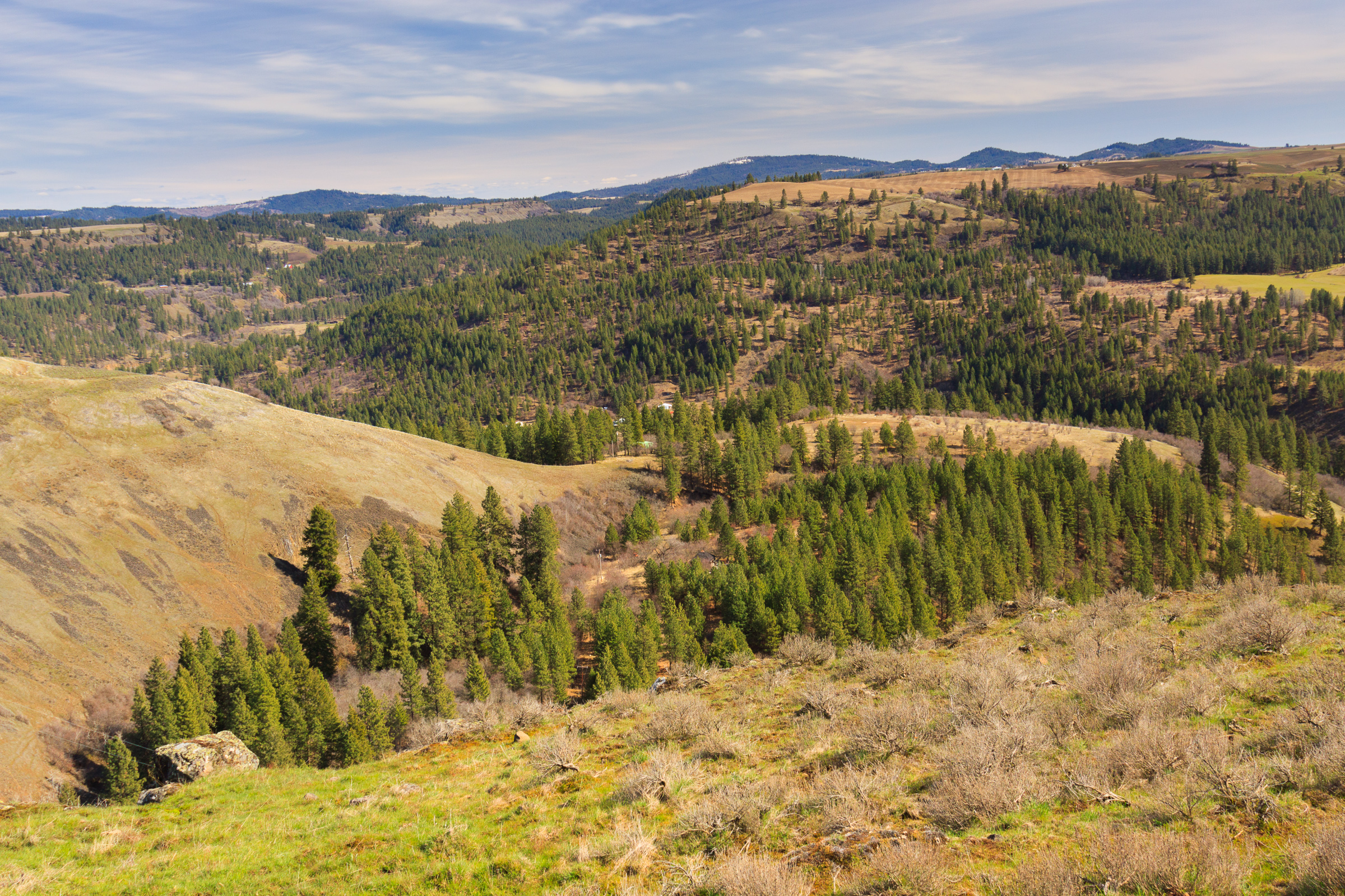
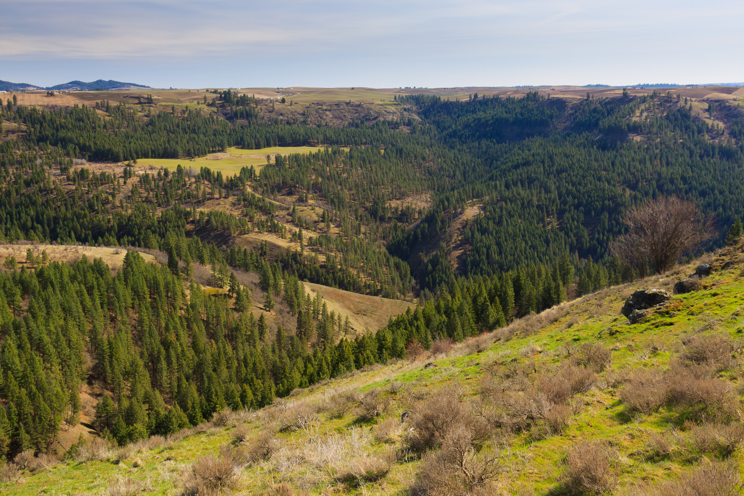
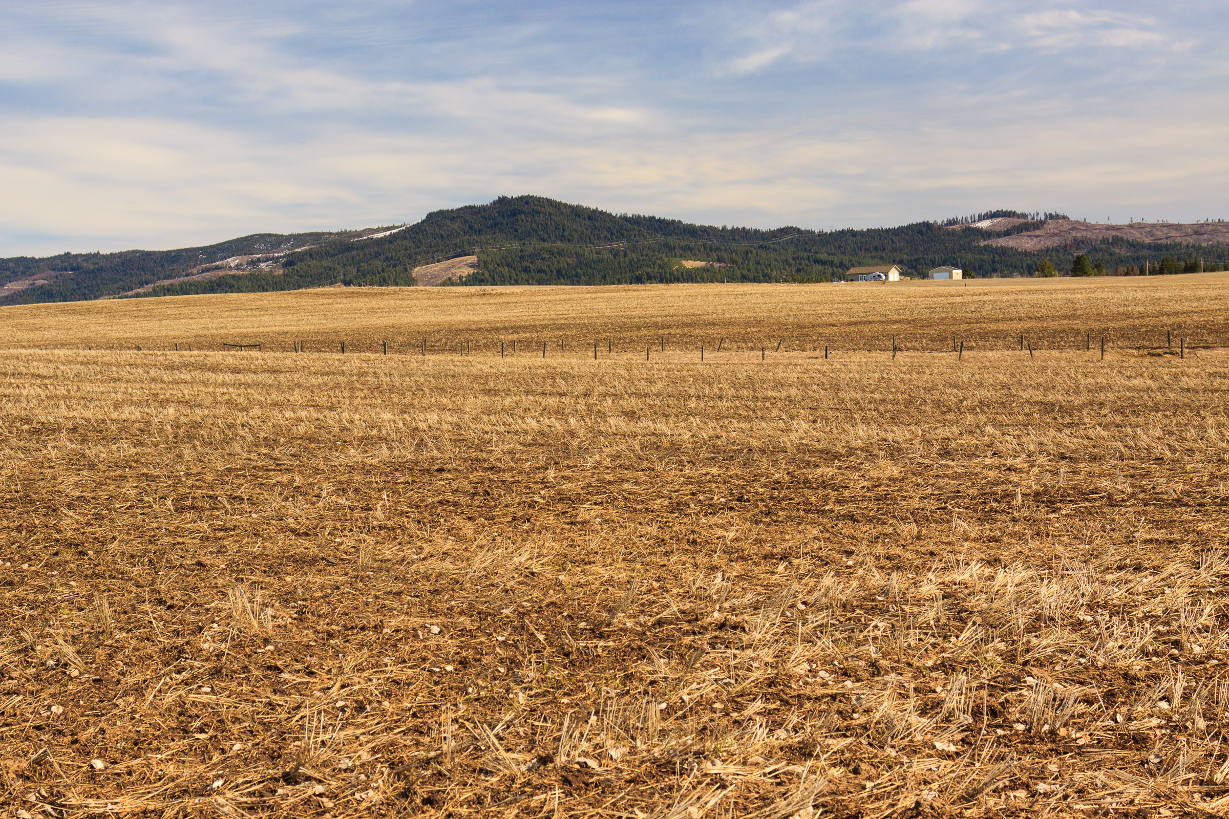
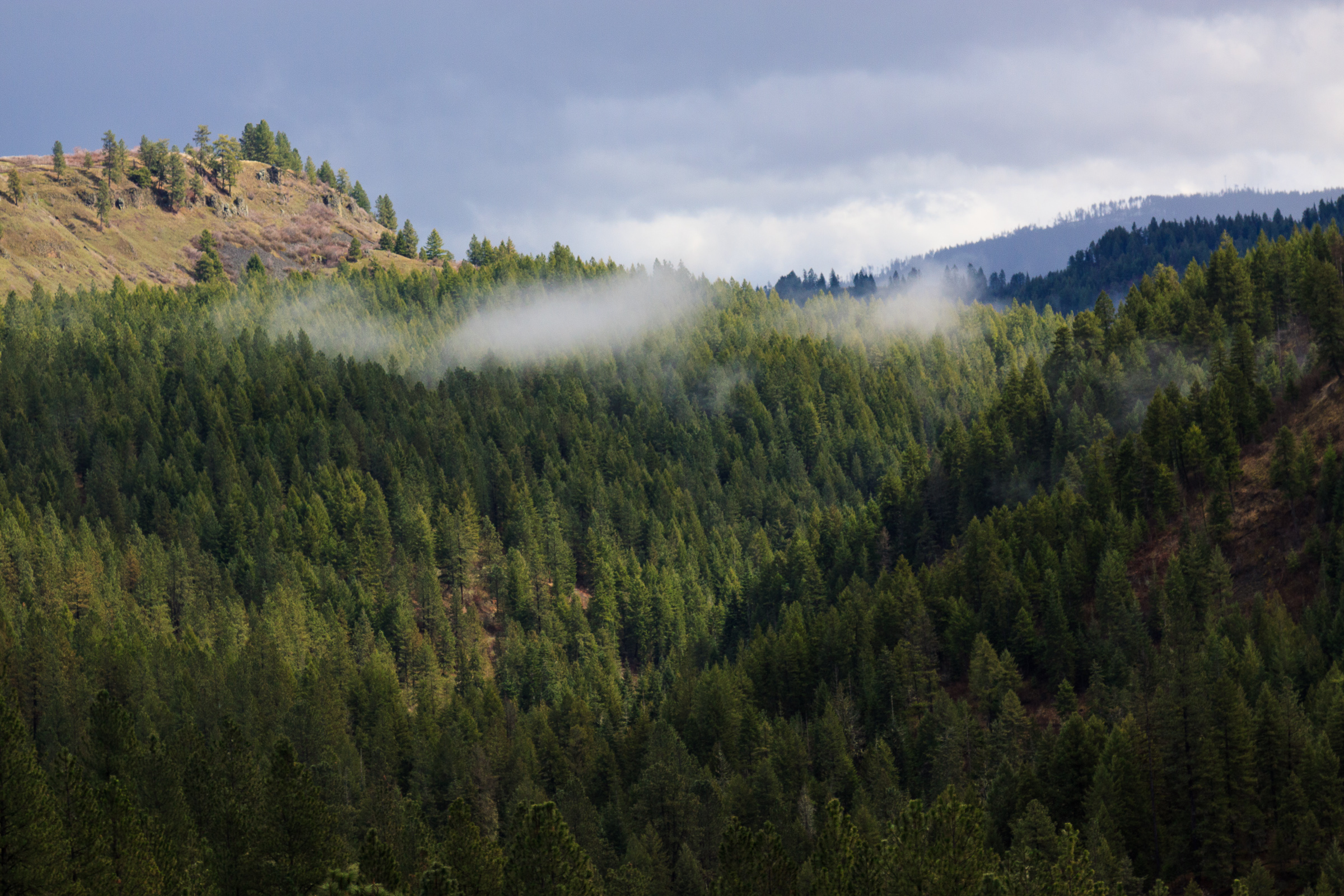
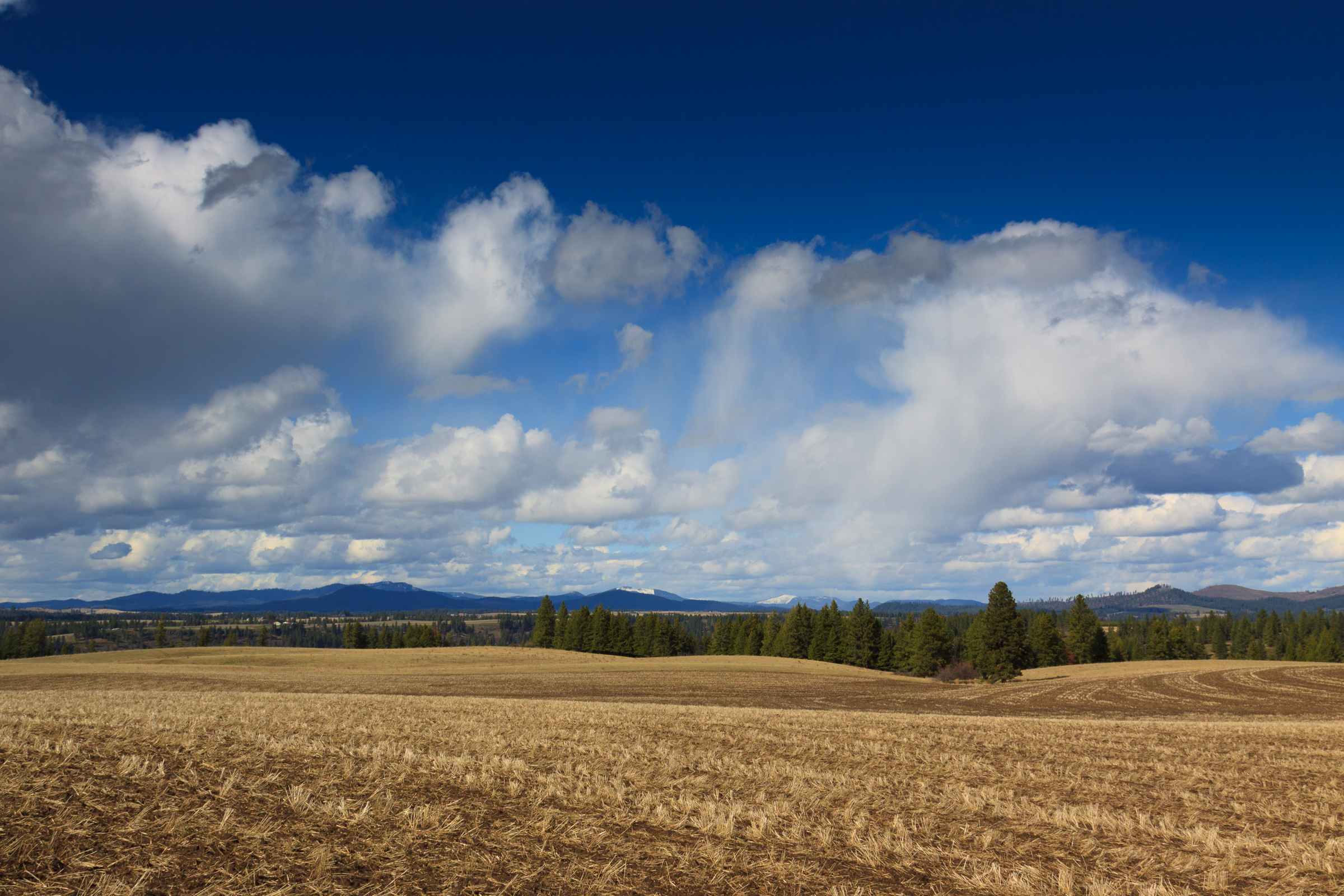
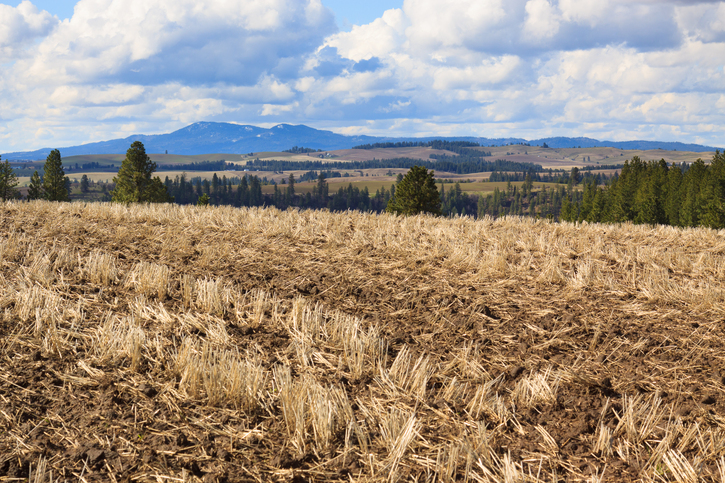
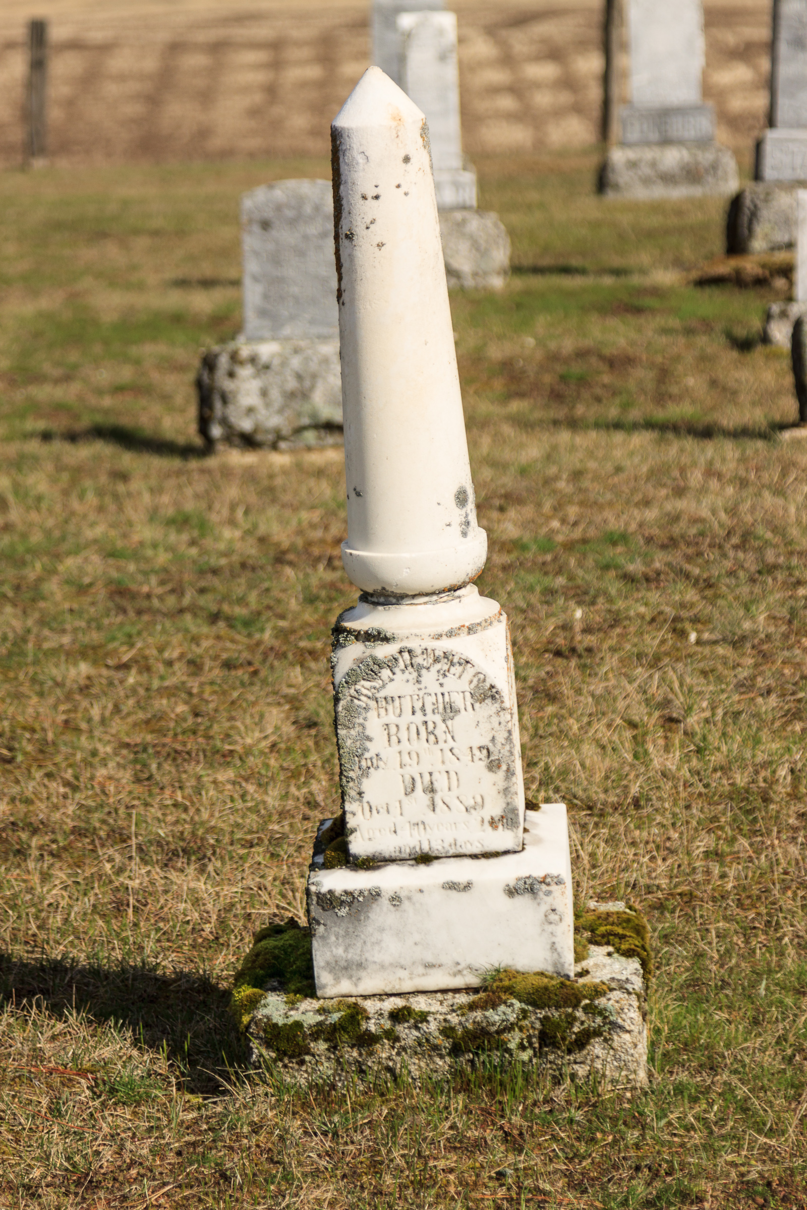
There are tons of scenic roads and historical sites throughout the Palouse region. Sometimes, all you have to do is find a road and as “where does this go?” You’ll discover some amazing things. Much of my discoveries have come from exploring these obscure roads and “getting lost.” But I’ve also found interesting places through geocaching. In case you don’t know what it is, geocaching is a kind of navigation and orienteering game where people hide containers in interesting places and post the coordinates at geocaching.com. Sometimes the containers have items for trade, and some just have a logbook to sign. Some are easy to find, others are quite challenging and innovative. Often, they are placed in unique and interesting locations, bringing people to places that they might otherwise pass by. The game is free to play, and with smartphones containing a GPS antenna, there’s not even a need to buy a traditional GPS receiver. I’ve hidden four geocaches along this route, and there are several more at the campground and hiking loop hidden by other users. It’s just one way to explore the country.