|

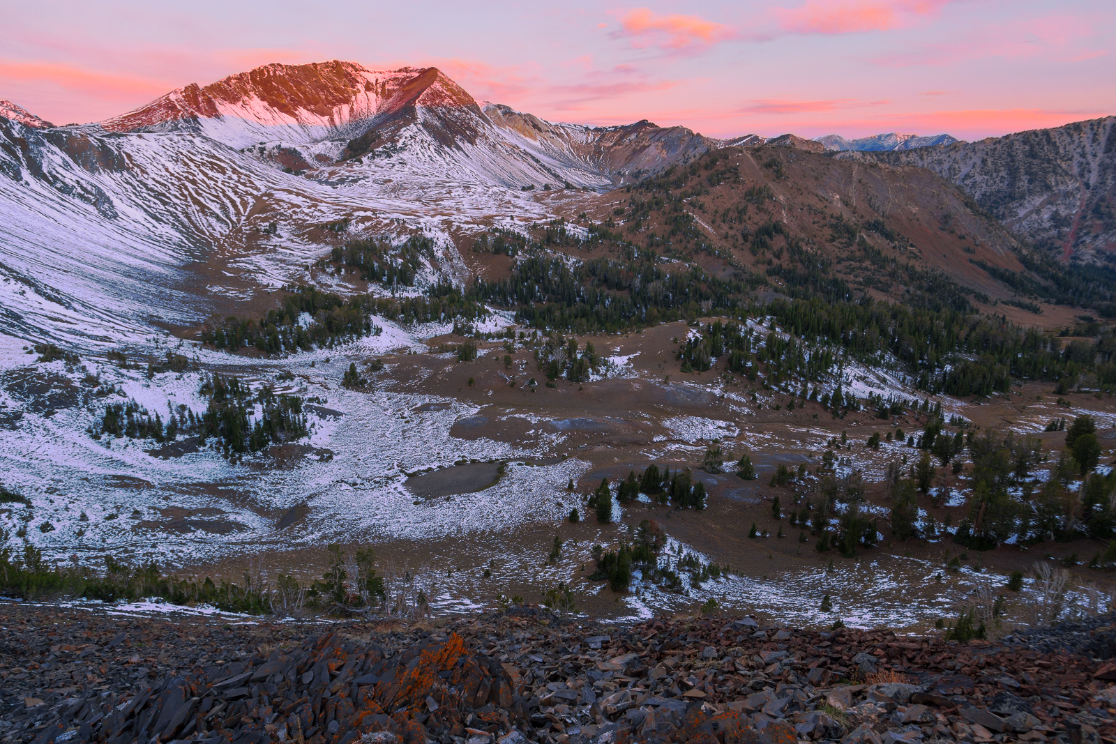
Small hikes near Moscow

The end of the semester is a busy time, and that often means foregoing larger adventures for some smaller ones closer to home. In the last week, I’ve been trying to keep active and take advantage of the local trails. One of these trails is the Headwaters trail on the western end of Moscow Mountain. In my five years here, I’ve never hiked this trail despite its close proximity and popularity among hikers, runners, and mountain bikers. Yet when all of my friends say they were on Moscow Mountain, they almost always mean the Headwaters trail.

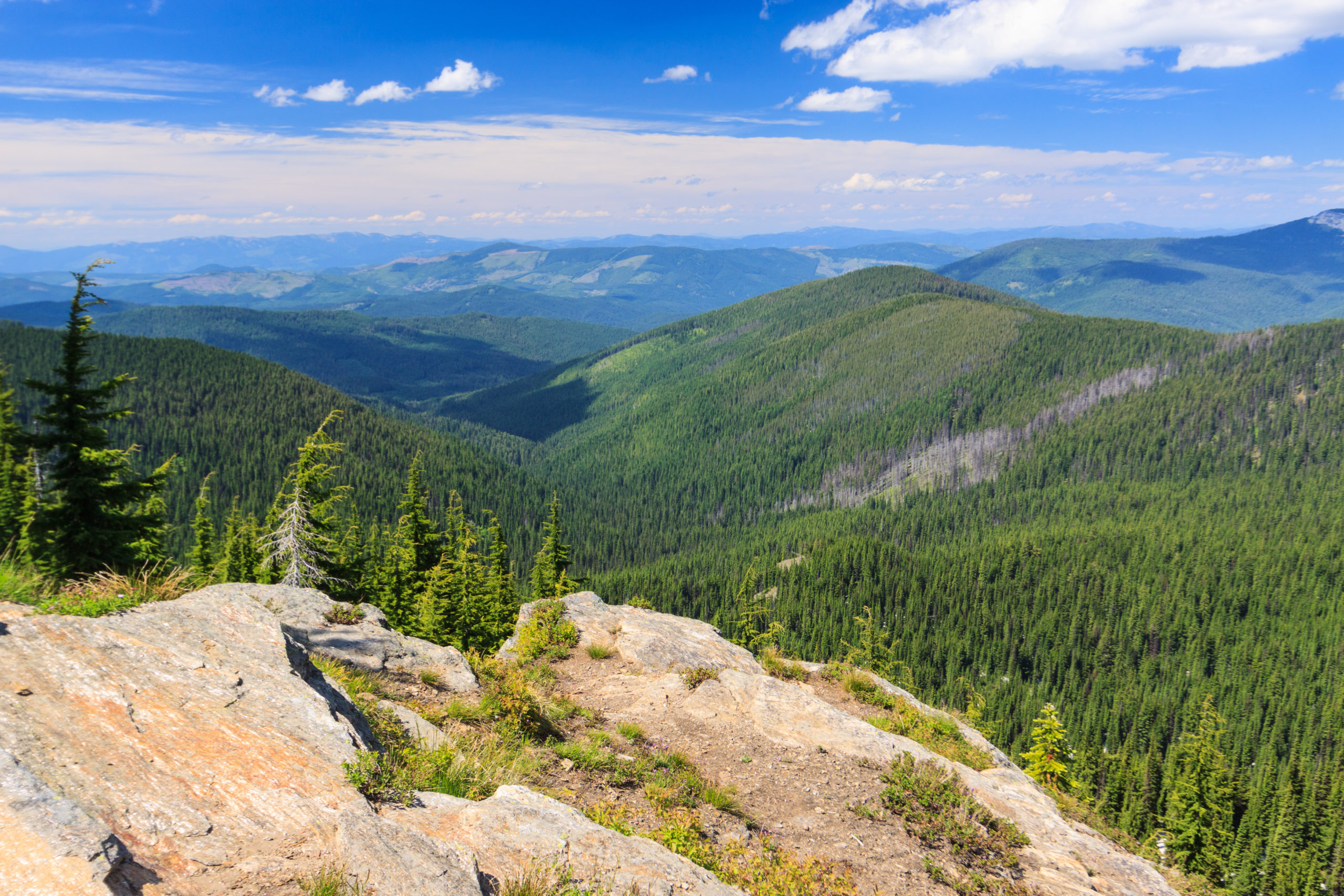
Headwaters is a 5 mile lollipop loop around the drainage that creates the headwaters for Paradise Creek, Moscow’s main water feature. There are no major attractions along this trail such as stunning views for waterfalls, but it does offer a nice walk in the woods with some great opportunities for wildlife sightings and enjoying the spring wildflowers.  Since I hiked this after work on Friday with limited daylight, I did not bring my camera and thus have no photos to share.

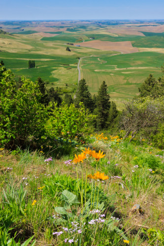
[map style=”width: auto; height:500px; margin:20px 0px 20px 0px; border: 1px solid black;” gpx=”http://www.mineral2.com/wp-content/uploads/Headwaters loop.GPX”]

I’ve hiked Kamiak Butte many times. But each time, I’ve stuck to the main loop and ignored the relatively new primitive trail that takes you around the west end of the feature. Saturday, I did just that, hiking with a group of geocachers from Spokane and finding the last cache in the park. The primitive trail is a bit more difficult than the main trail. It’s narrower, rockier, and steeper, but it’s not by any means a strenuous hike. Instead, it takes you away from most of the crowds into some nice wooded terrain. During the descent, there is a spot that opens up with some spectacular views of the northwestern Palouse. The wildflowers this time of year are also pretty spectacular. Arrowleaf balsamroot are past their peak, but still dotting the hillside with splashes of yellow. Meanwhile, the larkspur and wild hyacinth have become abundant, and the phlox carpets the ground with little pink clusters. In the woods, the western meadowrue and fairy bells have begun blooming. Calypso orchids have been out for a few weeks, but are still going strong.

IMG_6328

IMG_6327

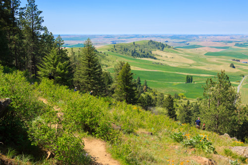
I have always liked Kamiak Butte, and with this extended loop, I like it even more. The full loop is about 4 miles long. Unfortunately, dogs are not permitted on the primitive trail, so plan on leaving your four-legged companions at home or just sticking to the main loop.

[map style=”width: auto; height:400px; margin:20px 0px 20px 0px; border: 1px solid black;” gpx=”http://www.mineral2.com/wp-content/uploads/Kamiak Butte with primitive trail.GPX”]


Similar Posts

  • Eagle Cap Wilderness, Labor Day Weekend

    A year ago this weekend, I set foot in Oregon for the first time and explored one of its most beautiful and least advertised mountain ranges. Last year, we only got a preview of the Eagle Cap Wilderness in the Wallowa Mountains, only able to stay one night. So this year, I arranged the backpacking trip for Labor Day Weekend, which let us spend 3 nights in the wild and explore more of the area. I rarely return to the same place for a second trip as there is so much around to explore, but then, there is the trade-off….

  • Duncan Knob

    View on Duncan Knob, originally uploaded by Matthew Singer. I got up early this morning to hike before the heat of the day. I would have liked to have gotten up earlier to be at the summit for that early light, but I enjoyed what I got. I arrived at my trailhead by 8:00 and reached the summit of Duncan Knob a little after 10 and I had the trail and the rocks to myself. I basked in the sunshine and enjoyed the view for almost an hour before heading back. When I got back on the Gap Creek Trail,…

  • Upper Basin Trail

    View Upper Basin Trail in a larger map The Upper Basin Trail is a 5 mile loop in the upper basin of Elk Creek just north of Elk River The trail is near the giant western red cedar, thought to be the largest tree in the U.S. east of the Sierra-Cascade crest. The loop is also near the Morris Cedar Grove, another grove of large old-growth red cedar. unfortunately, the road to the Morris Grove was closed and blocked off on Saturday. If you’re looking for a difficult challenge, the Upper Basin loop is not for you. The trail was…

  • Grandmother and Grandfather Mountains

    Since my daughter was born a month ago, I haven’t been able to get out and stretch my legs on the trail. So when an opportunity came along to go hiking, I jumped at it. The past few weeks had been miserably hot, even to the point where escaping into the high elevations wouldn’t provide refuge from the heat. However, since nights were cool, the early morning hours were a pleasant time to be outside. So one morning, CJ and I hit up Spud Hill in Deary and made it down just in time for the heat to make life uncomfortable….

  • Grandmother Mountain

    Looking West on Grandmother Mountain, originally uploaded by Matthew Singer. This weekend, Erin and I set out for our first hike together in Idaho and we made our first summit together on Grandmother Mountain. The hike to Grandmother Mountain begins high up in the St. Joe National Forest 12 miles out of Clarkia. The entire hike is above 5500 feet, which was a neat considering all of our hiking in the East (so far) was under 5500 feet.* Grandmother Mountain is an easy two-mile one-way along a high sub-alpine ridge with forest mixed with meadow. The summit stands at 6369…

  • Elk Butte

    Ever since I first visited Elk River during my interview trip in February 2010, I had a desire to get to the top of Elk Butte. After all, who could resist a lookout tower boasting 3000 foot views? The only problem was finding a suitable way to get up there. While the maps show a road to the summit, descriptions also warn that the summit is not accessible by car. Most people reach the summit by four-wheelers in the summer and snowmobiles in the winter. I had read that it was a 7-mile one-way trip, which ruled out a day…