A President’s Weekend in McCall
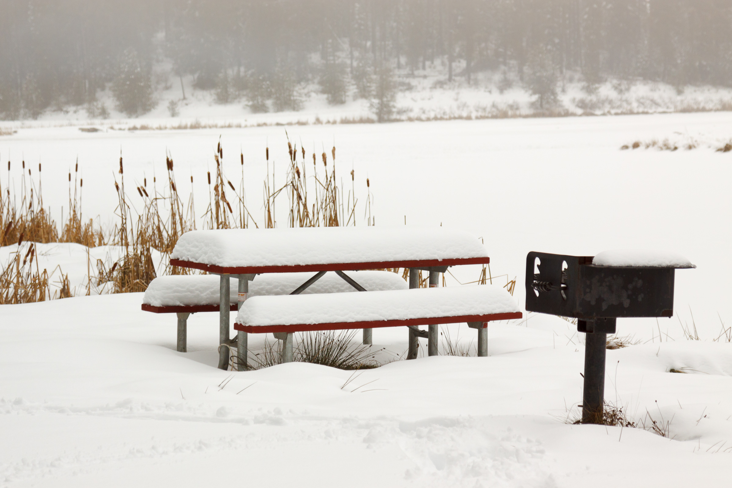
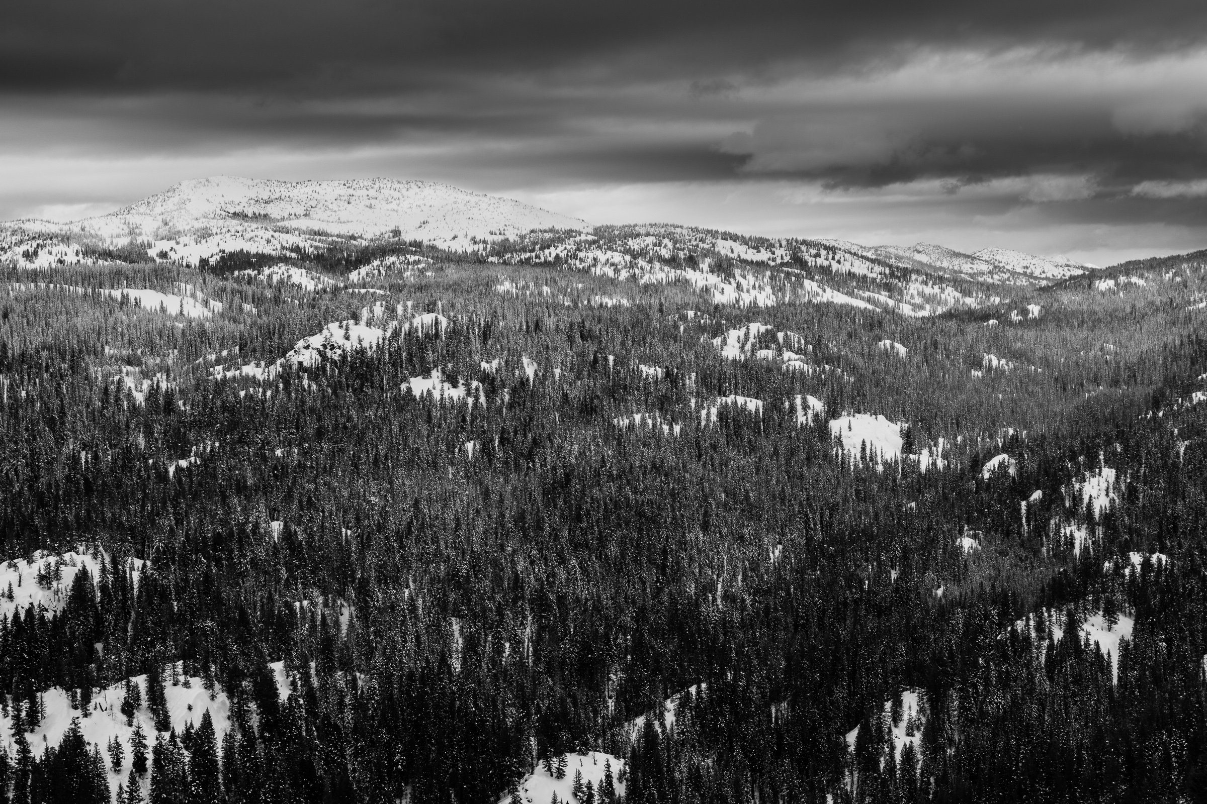
I can’t believe February is almost over an I haven’t made any posts yet. I’ve been plugging along with classes and research and laying fairly low for financial reasons. I’m not skiing this year, which helps out in keeping my costs down. I have been snowshoeing more this winter than in the past, and that’s helping to keep me in shape, but it’s not quite as often as I’d like. In part, it’s due to time constraints, and in part it’s due to the weird weather we’ve been having this winter. We’ve had less snow than in winters past, and…